Sunriver, OR at a glance
- Elevation
- About 4,170 ft (1,270 m)
- County
- Deschutes County, Oregon
- From Bend
- About 15 miles south on US-97
- Paved paths
- More than 30 miles
- Crater Lake
- About 1.5 hours to the North Entrance; shoreline trail closed 2026–2028
A Resort Town in the Pines
Sunriver is a planned resort community about 15 miles south of Bend, on the east bank of the Deschutes River at about 4,170 feet. It was built on the site of Camp Abbot, a World War II Army engineer training camp, and developed as a resort from the late 1960s. About 3,300 acres of ponderosa and lodgepole pine hold the village, golf courses, a nature center, a small airport and thousands of homes, many of them vacation rentals. About 2,000 people lived there at the 2020 census; in summer the population is many times that.
The appeal is simple: you park the car. More than 30 miles of paved paths connect the neighborhoods, the village, the river and the pools, and many rental homes come with bikes and passes to SHARC, the community aquatic center. Typical examples are the Sunriver Modern Lodge, a single-level three-bedroom with bikes and passes included, and Pet-Friendly Sunriver Home + SHARC Passes near SHARC.

SHARC, Golf and the Village
SHARC (the Sunriver Homeowners Aquatic & Recreation Center) has indoor and outdoor pools and is the center of family summers here; access usually comes through your rental's passes, so check how many passes a home includes before you book. Sunriver Village has shops and restaurants.
Sunriver Resort runs three 18-hole courses, Meadows, Woodlands and Crosswater, plus the 9-hole Caldera Links. Crosswater is reserved for club members and resort guests, and the resort says Meadows and Woodlands are too, so check access before you plan a round.
The Sunriver Nature Center & Observatory has live animals, a botanical garden and a nature trail by day and telescope nights after dark (reservations required). Sunriver's dark skies make the night programs worth booking.
The River: Deschutes and Spring River
The Deschutes winds slowly through Sunriver's meadows, and paddling it is a classic summer afternoon. Just south, the Spring River joins it. Fed by springs, it runs cold and clear all year and holds rainbow and brown trout. Several homes sit right on the water: the Riverfront Family Home on the Spring River and Deschutes, and the Spacious Mt. Bachelor Retreat near the Spring River headwaters, about 4 miles from Sunriver. South of Sunriver, homes such as the Pet-Friendly Riverfront Home w/ Dock and the log Pet-Friendly Cabin Near Sunriver sit along the Deschutes in the Three Rivers area. Their listings say Bend, but they are much closer to Sunriver.
The river is cold and the current is stronger than it looks. Wear a life jacket, and know where you will take out.
Lava Butte and Benham Falls
Lava Butte, a cinder cone in the Newberry National Volcanic Monument just north of Sunriver, rises over a lava flow that reaches to the Deschutes. In summer the only way up by vehicle is the shuttle from the Lava Lands Visitor Center (in 2026 it ran June 13 to September 7). Parking at Lava Lands costs $5 per vehicle or a recreation pass such as a Northwest Forest Pass. Check the Lava Lands page for the current shuttle season and road access.
Benham Falls, a powerful cascade on the Deschutes, is an easy walk of under a mile from the Benham Falls East day-use area, and the Deschutes River Trail continues downstream from there. Parking needs a recreation pass in summer. The river above and around the falls is not floatable.
Lava River Cave and Newberry
Lava River Cave, a mile-long lava tube off US-97 between Sunriver and Bend, has needed a free timed reservation on Recreation.gov (one per vehicle, plus a recreation pass) during its mid-May to mid-September season in recent years. Bring warm layers and a good light; the cave stays cold all year. Check the Deschutes National Forest for the coming season.
Further south, the Newberry caldera holds Paulina and East Lakes and the Big Obsidian Flow, Oregon's youngest lava flow at about 1,300 years old, with a one-mile trail onto the glassy rock. La Pine State Park, on the upper Deschutes south of Sunriver, protects old-growth ponderosa pine, including the giant known as "Big Tree," a short paved walk from the parking area.
Winter
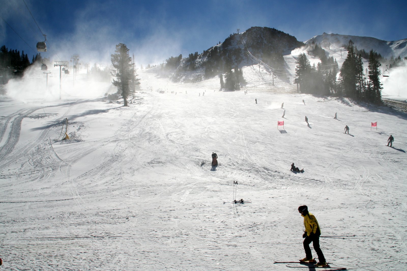
Mt. Bachelor is roughly half an hour to 40 minutes from Sunriver, depending on route and snow. Sunriver works well as a ski base for families who want pools and quiet evenings. The larger homes, such as the eight-bedroom Lone Pine Lodge and the seven-bedroom Golf-View home, are built for groups. The paths are snowy in winter, but cross-country skiing and snowshoeing start from many doorsteps.
Crater Lake from Sunriver
Sunriver is the closest base in this area for Crater Lake, about 1.5 hours to the North Entrance. As of October 2026, the Cleetwood Cove Trail, the only legal route down to the water, is closed for reconstruction through the 2028 season, so there are no boat tours or swimming. Rim Drive and the viewpoints are open in season, and the North Entrance road closes for winter on November 1, or earlier with heavy snow. Check the park's conditions page.
For Bend, Smith Rock, the Cascade Lakes, wilderness permits and Sisters, see the Bend & Central Oregon guide.
Find your base in Sunriver, OR — browse stays indexed by CielStay.
Search stays on CielStay →Frequently asked questions
How far is Sunriver from Bend and Mt. Bachelor?
Sunriver is about 15 miles south of Bend on US-97, roughly 20 to 25 minutes by car. Mt. Bachelor is roughly half an hour to 40 minutes from Sunriver, depending on route and snow.
What is SHARC in Sunriver?
SHARC is the Sunriver Homeowners Aquatic & Recreation Center, Sunriver's community pool complex with indoor and outdoor pools. Visitors usually get in with passes that come with their rental home, so check how many passes a home includes before booking.
Are the golf courses at Sunriver open to the public?
Sunriver Resort has three 18-hole courses (Meadows, Woodlands and Crosswater) and the 9-hole Caldera Links. Crosswater is reserved for club members and resort guests, and the resort lists Meadows and Woodlands the same way, so confirm access with the resort before planning a round.
Can you visit Lava Butte and Lava River Cave from Sunriver?
Yes. Both are just north of Sunriver off US-97. In summer, Lava Butte's summit is reached by shuttle from the Lava Lands Visitor Center (June 13 to September 7 in 2026), and parking there costs $5 or a recreation pass. Lava River Cave has needed a free timed reservation on Recreation.gov plus a recreation pass during its mid-May to mid-September season in recent years.
How far is Crater Lake from Sunriver, and is the lake shore open?
Crater Lake's North Entrance is about 1.5 hours from Sunriver. The Cleetwood Cove Trail, the only legal route to the water, is closed for reconstruction during the 2026, 2027 and 2028 seasons, so there are no boat tours or swimming. Rim Drive and the viewpoints stay open in season, and the North Entrance road closes for winter on November 1, or earlier with heavy snow.
Stays near this guide
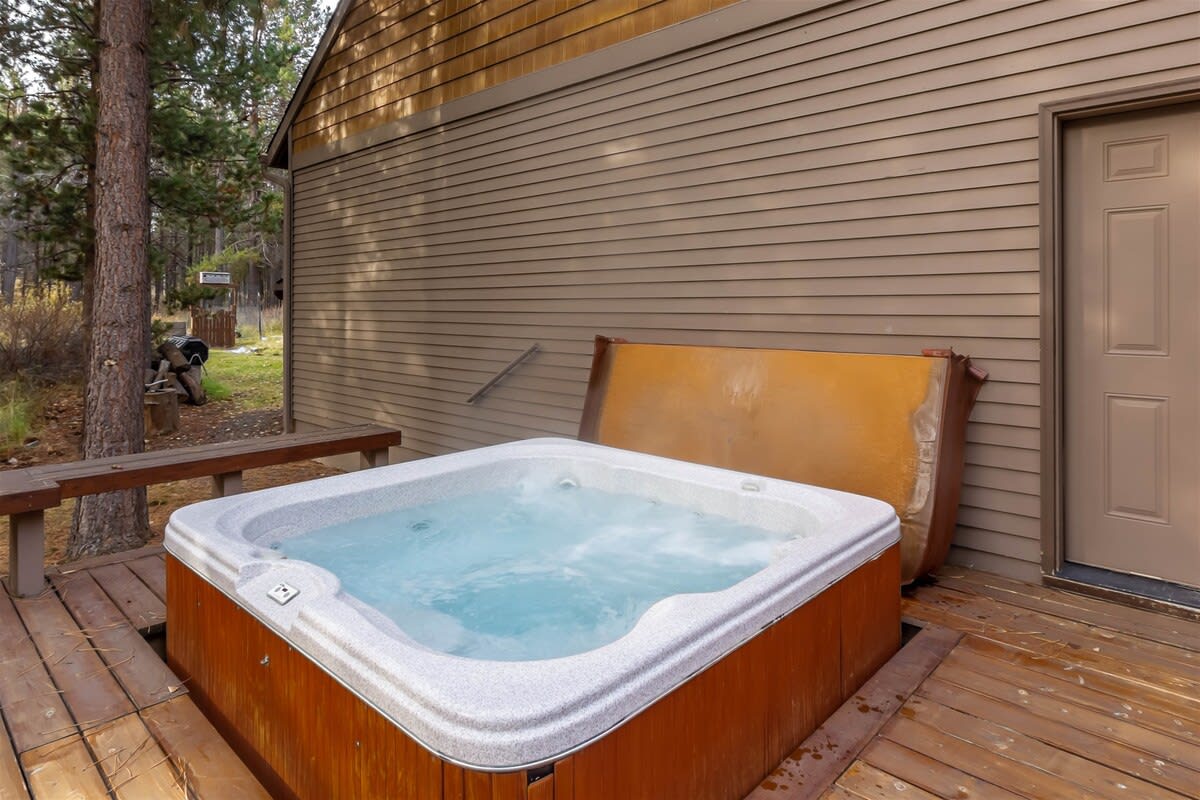
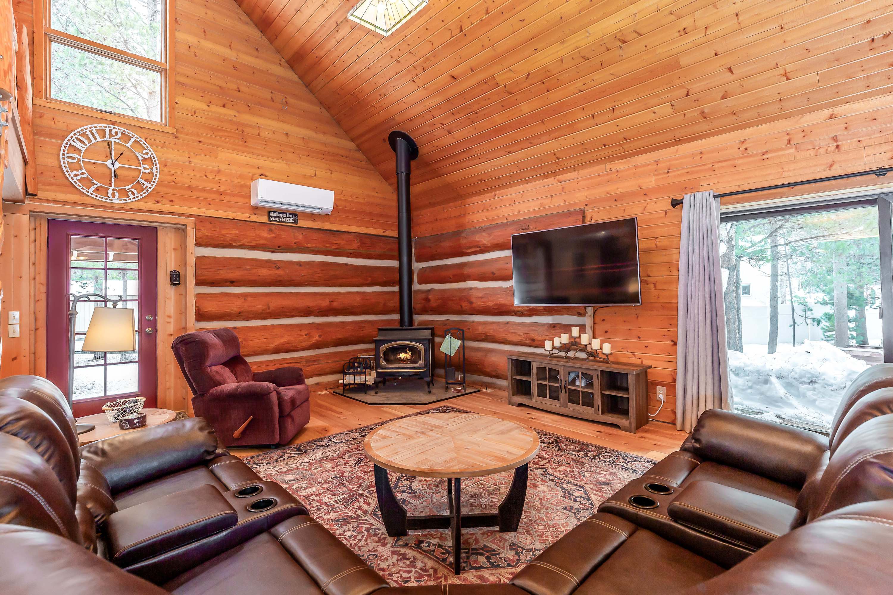
112 homes within 8 km on CielStay · all bookable on the host's own site. These are a few of them, chosen for this guide.



Try a search
Searches inspired by this guide — describe the vibe you want.
More guides


Nearby landmarks & attractions
Key destinations and attractions in the Sunriver, OR area.
Lava Butte ↗ Maps
A cinder cone in the Newberry National Volcanic Monument just north of Sunriver, reached by shuttle in summer.
Benham Falls ↗ Maps
A powerful cascade on the Deschutes River, a short walk from the Benham Falls East day-use area.
Sunriver Nature Center & Observatory ↗ Maps
Live animals and a nature trail by day, telescope programs at night (reservations required).
This guide was assembled from the local knowledge of hosts with properties throughout Sunriver, OR, as indexed by CielStay. The descriptions of restaurants, trails, swimming holes, and local tips reflect what hosts share with guests in their listings — not the observations of a travel journalist or guest reviewer. Photos are sourced from host listing images and are credited to their respective listings. Information about permits and trail conditions may change; always verify with official sources before your trip.