
The High Desert Above the Cascades
Bend sits at 3,600 feet on the eastern slope of the Cascade Range, where the volcanic mountains give way to high desert — ponderosa pine forest, basalt rimrock, and the Deschutes River bending through the center of town.

The geography produces an unusual combination: ski a 9,000-foot shield volcano, paddle the Deschutes through downtown, climb 800-foot tuff formations above a river canyon, and drink locally brewed craft beer, all within an hour of the same house.
Central Oregon is volcanic country. The Cascade peaks — South Sister, Broken Top, Mt. Bachelor, Mt. Jefferson — form the western skyline from nearly anywhere in Bend. The Newberry National Volcanic Monument, managed by the US Forest Service, preserves an active caldera complex southeast of town with two crater lakes, an obsidian flow, and lava tube caves. The surrounding Deschutes National Forest covers most of the landscape between the urban edge and the alpine crest.
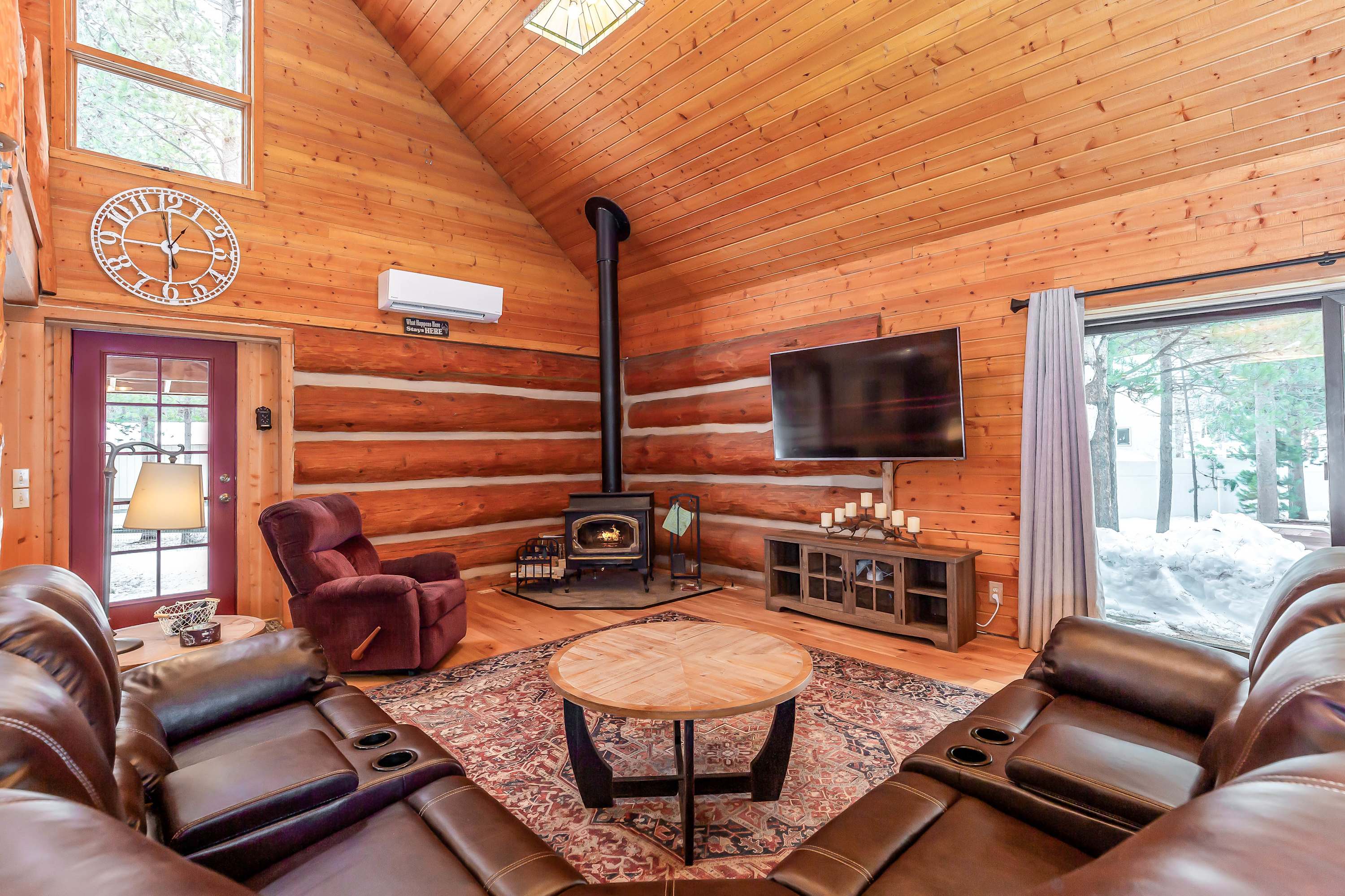
Bend has grown substantially since 2000, but its core character — an outdoor-oriented community with a serious brewery culture and genuine access to wilderness — remains intact. The Old Mill District, built on the footprint of two historic sawmill operations on the Deschutes River, anchors the south end of downtown with restaurants, retail, and river access. The Bond Street and Wall Street corridors form the compact, walkable downtown core, and the city's reputation for excellent independent restaurants and breweries consistently surprises first-time visitors.
Smith Rock and the Crooked River Canyon
Smith Rock State Park, approximately 26 miles north of Bend, is one of the most recognized sport climbing destinations in the United States and the defining landform of Central Oregon. Welded tuff and basalt formations rise 800 feet above the Crooked River — a tributary of the Deschutes — which loops through the canyon floor in a sweeping meander visible from the main trailhead.
The Monkey Face is the park's emblem: a 350-foot volcanic tower whose summit resembles a primate's profile. Routes on its face include some of the most technically demanding free climbs in Oregon, but Smith Rock has climbing for every level — hundreds of sport routes on the tuff walls, multi-pitch lines along the River Wall, and guided introductory climbing through local outfitters. Hikers without technical equipment can do the Misery Ridge loop: approximately 4.4 miles with around 650 feet of gain, delivering panoramic views of the Crooked River bend and the Cascade peaks beyond.
Hosts in the Sunriver area note Smith Rock is approximately 44 miles away — a manageable day trip from any Central Oregon base. The park is busiest on summer weekends; arriving early means open parking and morning light on the east-facing cliffs at their best.
Mt. Bachelor and the Cascade Lakes
Mt. Bachelor is Oregon's largest ski area and the volcanic centerpiece of the Central Oregon winter economy. The 9,065-foot shield volcano offers 4,318 skiable acres, 11 lifts, and a summit chair that reaches the caldera rim — on a clear day, views extend to Mt. Jefferson, the Three Sisters, Broken Top, and south toward Crater Lake. The ski season historically runs November into May, longer than most Pacific Northwest resorts.
Hosts near Sunriver note Mt. Bachelor is approximately 19 to 25 miles away and roughly a 35-minute drive. The mountain has no on-site lodging; guests stay in Bend, Sunriver, or the surrounding Deschutes National Forest.
The Cascade Lakes National Scenic Byway begins at Mt. Bachelor and winds southwest through the national forest past a chain of alpine lakes — Sparks Lake, Devils Lake, Elk Lake, Hosmer Lake, Lava Lake — before reaching La Pine. Sparks Lake, at the base of South Sister, offers early-morning reflections of the Cascade peaks that make it one of the most photographed scenes in Oregon. Most lakes on the byway are under motor-restriction or no-motor rules; kayaks, canoes, and paddleboards are the standard watercraft. Hosts note Sparks Lake is approximately 24 miles from the Sunriver corridor. The byway typically opens in June after snowplowing clears the upper sections and closes again by November.
Hosmer Lake attracts fly fishers for its Atlantic salmon. Elk Lake has a small resort with boat rentals and lodge dining. The entire byway is a day-long drive-and-stop itinerary from a Bend or Sunriver base, with trailheads, picnic areas, and put-ins at each lake.
The Deschutes River and Downtown Bend
The Deschutes River flows through Bend's downtown before bending south toward Sunriver and Newberry. The Deschutes River Trail — a paved multi-use path connecting Drake Park through Farewell Bend Park — follows the river through downtown and is used year-round by cyclists, runners, and walkers. The summer float season on the Whitewater Park section draws tubes, kayaks, and drift boats from late June through September.
Bend's craft beer scene is among the most developed in the Pacific Northwest. Deschutes Brewery, founded in 1988 and still operating its original brewpub on Bond Street, is one of the region's oldest and largest craft breweries. Hosts near Sunriver consistently mention Sunriver Brewing Company — which brews on-site at its Sunriver Village taproom — as a local resource for craft beer and food after a day on the mountain or river.
The High Desert Museum, 16 miles from Sunriver Village per host copy, is a cultural and natural history institution with live wildlife exhibits — birds of prey, porcupines, and river otters — a working historic ranch, and permanent collections on Indigenous cultures, settler history, and the natural history of the Great Basin and Columbia Plateau. It is one of the more comprehensive regional museums in the Pacific Northwest and a recommended stop for families and first-time visitors alike. Hosts also note the Old Mill District is 18 miles from the Sunriver corridor — an easy run for shopping, dining, and the river trail.
Sunriver and the Spring River
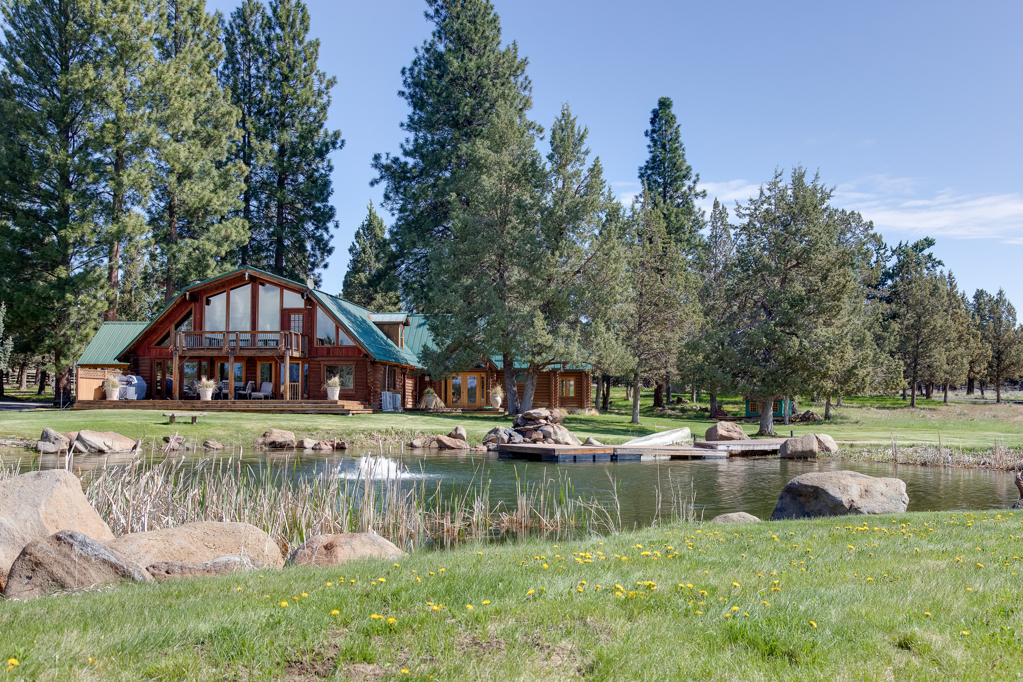
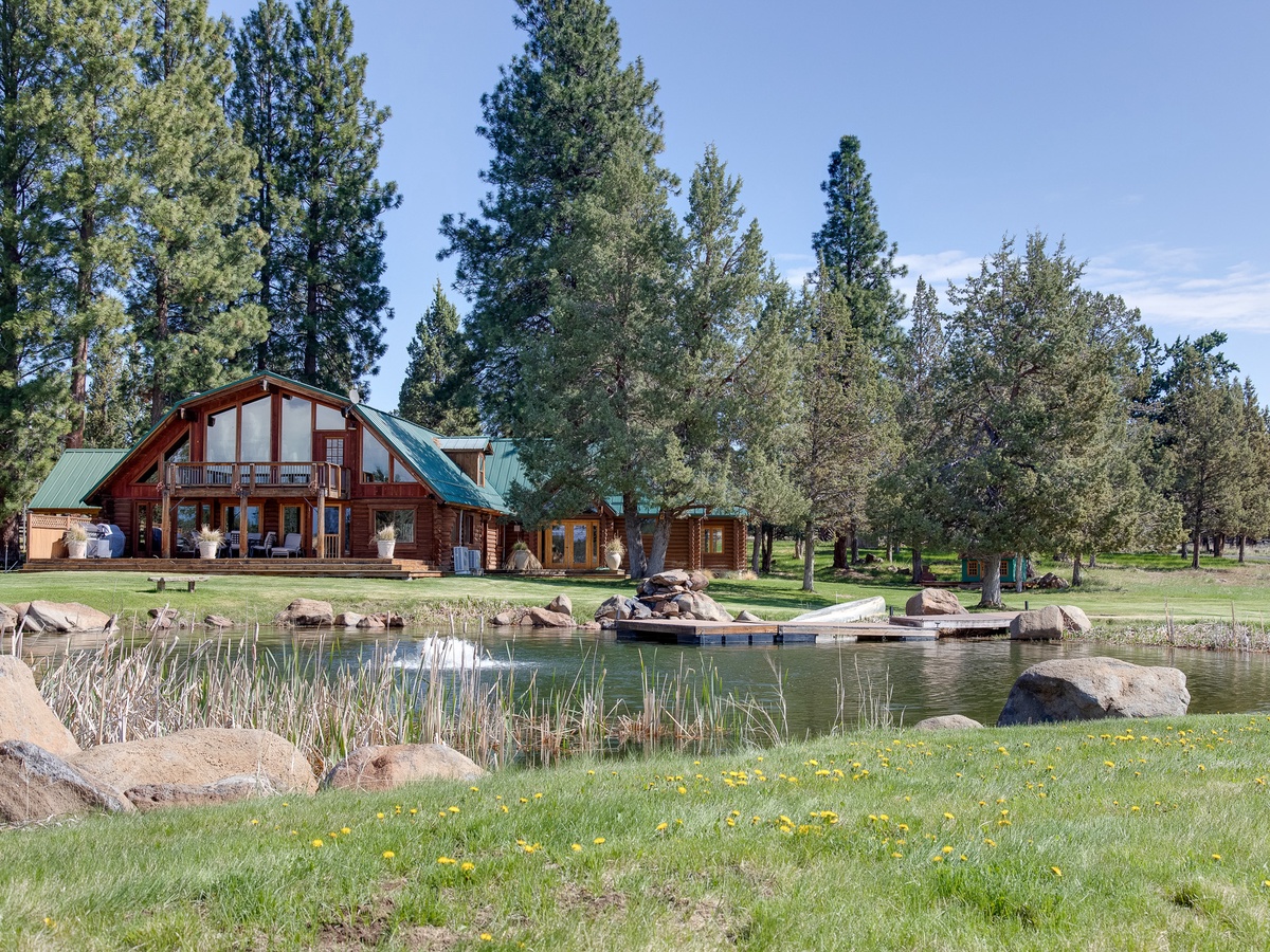
Sunriver is a resort community approximately 15 miles south of Bend, built on the site of a World War II Army training camp and converted to resort use in 1968. It covers 3,300 acres on the west bank of the Deschutes and functions as a self-contained destination: Sunriver Village with restaurants and retail, two 18-hole golf courses, the Sunriver Nature Center and Observatory, SHARC aquatic center, and more than 30 miles of paved bike paths. Multiple hosts note that properties in the corridor are approximately five minutes from Sunriver Village.
The Spring River connects to the Deschutes south of Sunriver, fed by groundwater springs that maintain a stable, cold temperature year-round. Listings in the area describe direct access to the Deschutes River and Spring River for kayaking and canoeing; some note community boat ramps within walking distance of their properties. The Spring River carries native rainbow and brown trout and is a recognized fly fishing destination.
Lava Butte — a cinder cone within the Newberry National Volcanic Monument — is 8 miles from Sunriver Village per host copy. A paved road leads to the summit for Cascade views and an up-close look at the basalt lava field extending toward the Deschutes. Benham Falls, 12 miles from Sunriver Village per host copy, is a significant cascade on the Deschutes accessible to all fitness levels via a short walk from the parking area. La Pine State Park, 12 miles from the Sunriver corridor per host copy, protects a large stand of old-growth ponderosa pine on the upper Deschutes — the Old Growth Trail passes trees estimated at several hundred years old.
Café Sintra in Sunriver Village offers Mediterranean-inspired breakfast and lunch; Marcello's Cucina Italiana is a family-friendly Italian restaurant noted by multiple hosts; Sunriver Brewing Company provides craft beer brewed on-site; and the Wallow Bar and Grill is a nearby casual dining option within the corridor — all verified in host copy from multiple area listings.
Day Trips from Central Oregon
The Newberry caldera contains Paulina Lake and East Lake within a caldera basin approximately 26 miles from the Sunriver area per host copy. Paulina Lake Lodge operates boat rentals and a lakeside restaurant; the Paulina Lake loop trail is a full hiking day. The Big Obsidian Flow on the caldera floor is the largest obsidian flow in the United States, the result of an eruption approximately 1,300 years ago, and is accessible via a short interpretive trail.
Crater Lake National Park, approximately 78 miles from the Sunriver area per host copy, is Oregon's only national park and home to the deepest lake in the United States. The Rim Drive circles the caldera; the Cleetwood Cove Trail is the only route that descends to the lake shore. Most Central Oregon visitors do Crater Lake as an early-morning day trip to arrive ahead of summer crowds.
The Painted Hills, within John Day Fossil Beds National Monument, are approximately 104 miles from the Sunriver corridor per host copy — the colorful clay hills change hue with moisture and light conditions. Sisters — a mountain town at the eastern base of the Cascades — is approximately 40 miles from Sunriver per host copy and serves as a gateway to Three Sisters Wilderness hiking and climbing, as well as the Santiam Pass ski areas.
Find your base in Bend, OR — browse stays indexed by CielStay.
Search stays on CielStay →Frequently asked questions
When is the best time to visit Bend, Oregon?
Bend is a four-season destination. Winter (November through April) is ski season at Mt. Bachelor, Oregon's largest ski area, which historically runs into May. Summer (late June through September) brings dry, sunny conditions — Central Oregon averages over 300 days of sunshine per year per host copy — with the Cascade Lakes accessible, the Deschutes float season running, and Smith Rock uncrowded in the mornings. Spring and fall are shoulder seasons with smaller crowds, cooler temperatures ideal for cycling and hiking, and some of the best light on the Cascade peaks.
What is Smith Rock State Park known for?
Smith Rock State Park is one of the birthplaces of American sport climbing — the volcanic tuff formations and basalt walls above the Crooked River have drawn technical climbers since the 1980s. The park's most iconic feature is the Monkey Face, a 350-foot volcanic tower with demanding free-climbing routes. Smith Rock also has accessible hiking, including the Misery Ridge loop with panoramic views of the canyon and Cascade peaks. Hosts in the Sunriver area note the park is approximately 44 miles away and makes a strong day trip from any Central Oregon base.
Is Bend, Oregon good for families with children?
Yes. Sunriver — approximately 15 miles south of Bend — has over 30 miles of paved bike paths, SHARC aquatic center, a nature center and observatory, and resort amenities well-suited to families. The High Desert Museum, 16 miles from Sunriver Village per host copy, offers live wildlife exhibits including raptors, otters, and porcupines. The Cascade Lakes are accessible for kayaking and canoeing mid-summer. Multiple hosts specifically describe their properties as ideal for families with children and pets, with fenced yards and proximity to river trails.
How far is Crater Lake National Park from Bend?
Crater Lake National Park — Oregon's only national park, home to the deepest lake in the United States — is approximately 78 miles from the Sunriver area per host copy, roughly a 90-minute drive from the Bend-Sunriver corridor. The park's Rim Drive circles the caldera with continuous lake viewpoints; the Cleetwood Cove Trail is the only route to the lake shore. Most Central Oregon visitors do Crater Lake as an early-morning day trip to get ahead of summer crowds.
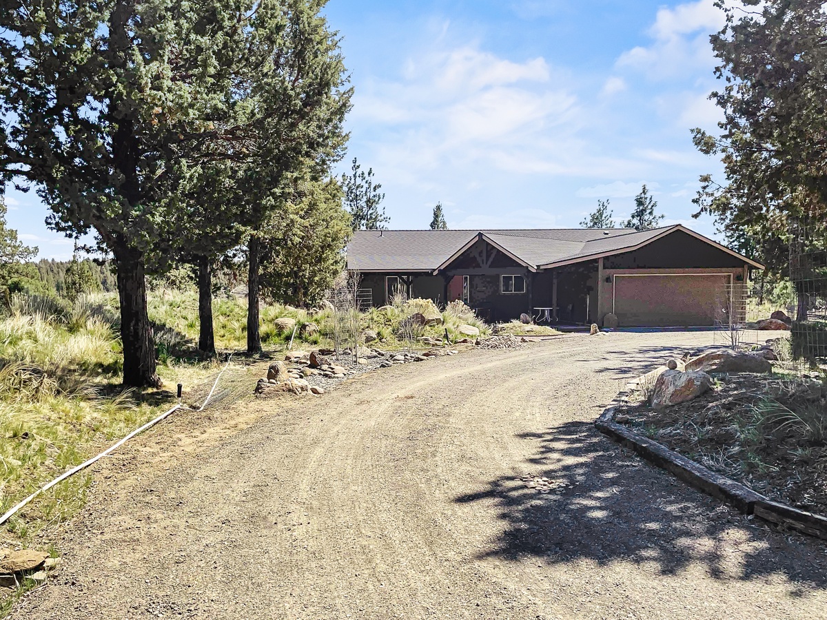
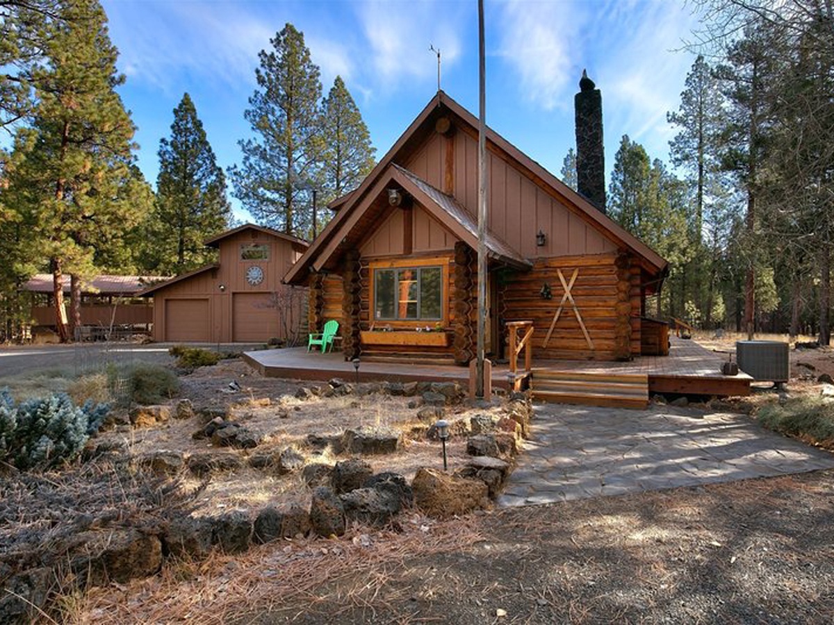
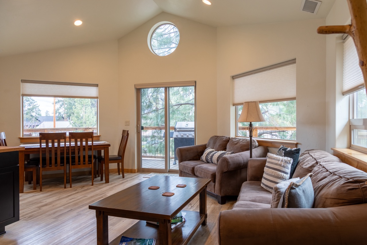
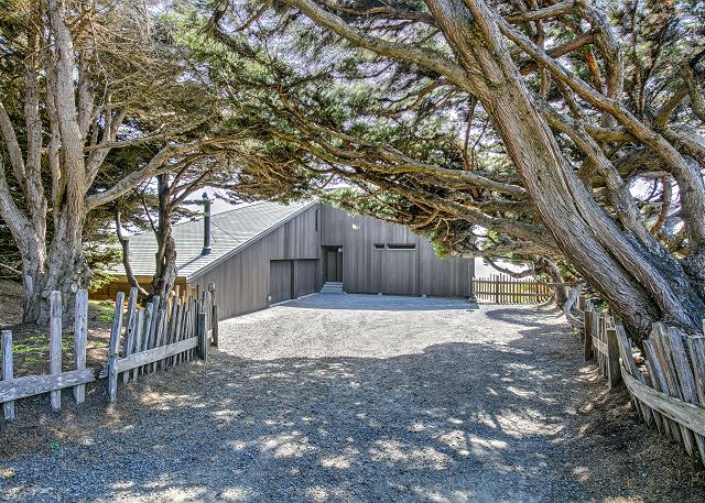
Stays near this guide
Top-rated independent stays in the region, ranked by CielStay authenticity score.


Try a search
Searches inspired by this guide — describe the vibe you want.
More guides


Nearby landmarks & attractions
Key destinations and attractions in the Bend, OR area.
Smith Rock State Park ↗ Maps
Oregon's crown jewel of climbing — 1,000-foot volcanic tuff columns above the Crooked River, with world-class sport climbing routes.
Crater Lake National Park ↗ Maps
The deepest lake in the US — formed by the collapse of Mount Mazama 7,700 years ago. The blue is otherworldly.
Mount Bachelor ↗ Maps
One of the Pacific Northwest's best ski mountains — 3,365 acres with reliable Cascade snowpack and a long season.
This guide was assembled from the local knowledge of hosts with properties throughout Bend, OR, as indexed by CielStay. The descriptions of restaurants, trails, swimming holes, and local tips reflect what hosts share with guests in their listings — not the observations of a travel journalist or guest reviewer. Photos are sourced from host listing images and are credited to their respective listings. Information about permits and trail conditions may change; always verify with official sources before your trip.