
Island of Hawaiʻi, HI at a glance
- County
- Hawaiʻi County, Hawaii
- Size
- About 4,028 sq mi, larger than the other Hawaiian islands combined
- Highest point
- Mauna Kea, 13,803 ft (4,207 m)
- Airports
- Kona (KOA) on the west side, Hilo (ITO) on the east
- Kīlauea (Oct 2026)
- Episodic summit fountaining inside a closed area; view from park overlooks
One island, two climates
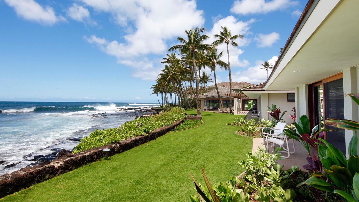
The Island of Hawaiʻi is bigger than all the other Hawaiian islands put together: about 4,028 square miles, with Mauna Kea topping out at 13,803 feet. Its two volcanic giants, Mauna Kea and Mauna Loa, split the weather. The west side (Kona and Kohala) sits in their rain shadow: dry, sunny, lava rock running into clear, calm water. The east side (Hilo, Puna and Volcano) faces the trade winds: rainforest, waterfalls, black-sand coves and the active summit of Kīlauea.
Where you sleep decides most of your trip, because the island is big enough that crossing it takes two hours or more. Almost all of the homes on CielStay are on the west side, so that is where most of this guide's stays are. The east side is the day trip, or the night or two you add on.
Getting here and getting around
There are two main airports. Kona International (KOA) on the west side takes most mainland flights; Hilo International (ITO) on the east is the closer one for Hilo, Puna and Volcano. You need a rental car either way.
Rough drive times, on a good day:
- Kona airport to Kailua-Kona town: about 15 minutes
- Kona airport to the Kohala resorts (Waikoloa, Mauna Lani, Mauna Kea): about 25–35 minutes
- Kailua-Kona to Waimea: about an hour (roughly 40 miles)
- Kailua-Kona to Hilo over the Saddle Road (Route 200): about 2 hours
- Kailua-Kona to Volcano and the national park, via the south: about 2.5 hours
- Hilo to Volcano Village: about 45 minutes; Hilo to Pāhoa: about half an hour
Kailua-Kona and Keauhou
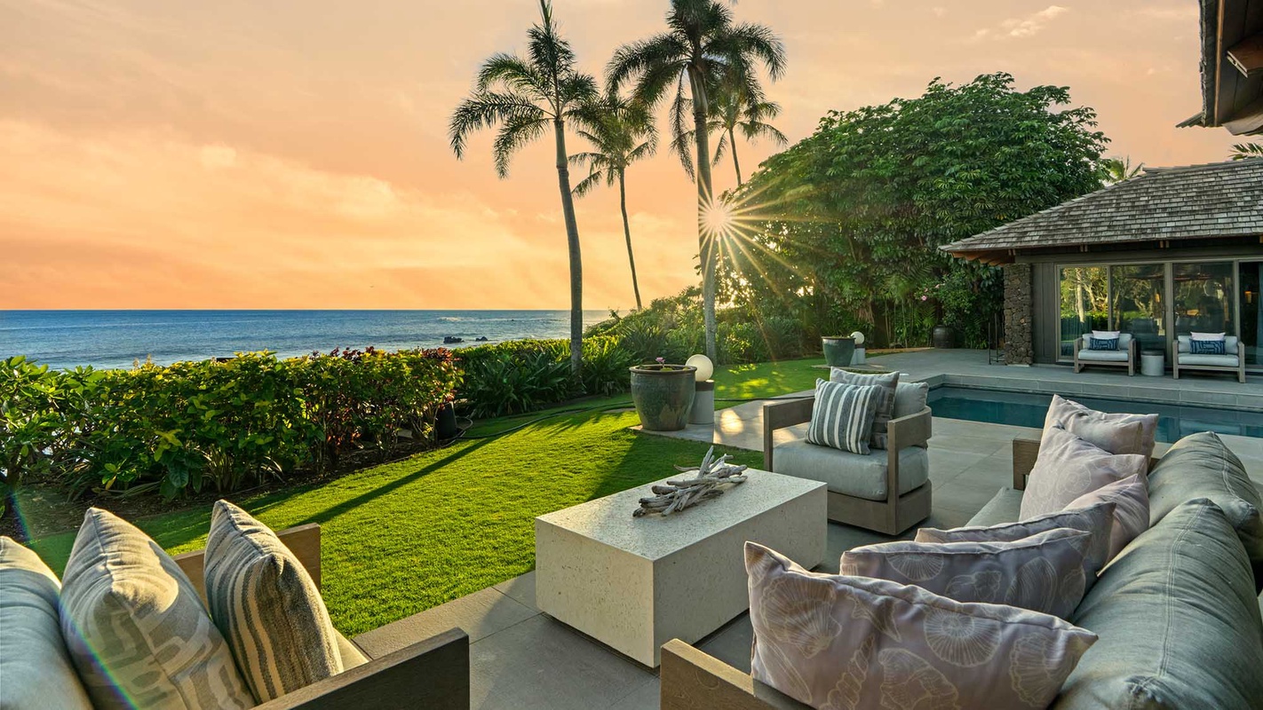
Kailua-Kona is the west side's real town: a historic waterfront with Huliheʻe Palace and Kamakahonu, Aliʻi Drive running south past Magic Sands to Kahaluʻu Bay and Keauhou, and the harbor where the fishing charters and the night manta trips go out. Most of the island's homes on CielStay are here, from Aliʻi Drive oceanfront houses like Hale Kipa to condos across from the beach. The coffee belt is on the slopes above town, and South Kona's Kealakekua Bay and Puʻuhonua o Hōnaunau are a short drive south.
Full guide: Kailua-Kona & Keauhou.
The Kohala Coast
Twenty-five to thirty-five miles north of town, the lava fields of South Kohala hold the island's big resort communities: Waikoloa Beach Resort, Mauna Lani and Mauna Kea. This is where the white-sand beaches are (ʻAnaehoʻomalu, Hāpuna, Kaunaʻoa), along with the golf and the resort condos and villas. Puakō's petroglyphs, cowboy-country Waimea and the green North Kohala towns of Hāwī and Kapaʻau are all within an easy drive.
Full guide: The Kohala Coast.
Kīlauea: what you can see, as of October 2026
Kīlauea has been erupting in episodes since December 23, 2024. Lava fountains rise inside Halemaʻumaʻu crater at the summit, within a closed area of Hawaiʻi Volcanoes National Park. Each episode lasts hours, with pauses of days or more in between. Episode 55 ended on October 17, 2026. The USGS alert level was Advisory (yellow) on October 19.
When an episode is under way, you can watch the fountains and glow from the park's designated overlooks, such as Uēkahuna and Kīlauea Overlook on Crater Rim Drive West. You cannot hike toward the lava. Stay on marked trails and overlooks, and never go past a closure sign. Volcanic gas and vog are a real hazard, especially for people with heart or breathing problems, infants, young children and pregnant women.
Before you drive over:
- Check the USGS Kīlauea page and its summit webcam to see whether an episode is happening.
- Check the park's eruption viewing and current conditions pages. As of October 2026 the park is two years into a summit construction project, so expect closures and delays, and parking lots can fill by 10 a.m.
The east side: Hilo, Puna and Volcano
The east side is the island's other half: wetter, greener and less built up. People who love it call it the "real" Big Island. Today CielStay lists only a handful of homes here, so most visitors on our site see it on day trips or a short stay. Those homes include the Kehena Black Sand Beach House on the Puna coast, Aloha Falls Hilo and, up the Hāmākua Coast, the clifftop Waterfalling Estate.
Hilo is the east side's town, and the county seat. It has a historic downtown on the bay, a farmers market whose big days are Wednesday and Saturday, Liliʻuokalani Gardens, and Rainbow Falls (Wailuku River State Park) a few minutes above downtown. Sea turtles often rest on the rocks at Richardson Ocean Park. The Pānaʻewa Rainforest Zoo, which bills itself as the only natural tropical rainforest zoo in the US, is just south of town.
Volcano Village sits at about 3,750 feet, right on the park boundary near the northeast rim of Kīlauea's caldera, 27 miles from Hilo on Highway 11. It is cool, misty ʻōhiʻa and tree-fern forest, and the fireplaces in its cottages get used. The park entrance is a few minutes' drive away. There's a Sunday farmers market at the Cooper Center, and Volcano Winery is out by the golf course.
Puna is the district between Hilo and the southeast coast. It is also where the island's geography changed most recently, so older guidebooks and maps are wrong here:
- 2018 lower Puna eruption. Lava from fissures in Leilani Estates destroyed hundreds of homes. It filled Kapoho Bay and buried the Kapoho tide pools, the Ahalanui warm pond, Champagne Pond and the Vacationland and Kapoho Beach Lots neighborhoods, adding roughly 875 acres of new land. Those famous warm pools and tide pools are gone.
- The Red Road (Highway 137) is the coastal road that runs about 9.6 miles between Kalapana and the Kapoho area. You reach it from Pāhoa on Highway 130 (to Kalapana) or Highway 132 (toward Kapoho); it does not start in Pāhoa. In 2018 lava buried a stretch of it between Kamāʻili Road and Pohoiki Road. Pohoiki is now reached on a road built across the new flow.
- Kehena Beach is a black-sand cove below the Red Road, reached by a short, steep scramble down the cliff. There are no lifeguards and the surf can be rough, so swim only on calm days.
- Pohoiki (Isaac Hale Beach Park) reopened in December 2018 with a new black-sand beach that buried the old boat ramp and its protected swimming area. Behind the beach, new geothermal warm-water ponds formed. These are what locals now mean by the Pohoiki warm ponds. They are not "Hawaii's only hot springs", and the surf break out front is for experienced surfers.
- Kalapana was overrun by lava in 1990. Today it is a lava-covered community with a newer black-sand beach at Kaimū. There has been no lava to see there since 2018.
Hāmākua and the north: waterfalls and Waipiʻo
North of Hilo, Highway 19 follows the Hāmākua Coast past deep gulches and old sugar towns.
- ʻAkaka Falls State Park, near Honomū, has a 0.4-mile loop trail to the 442-foot falls. As of October 2026, part of the trail is closed because of trees that fell in Hurricanes Nolo and Lowell. Non-residents pay $5 per person and $10 to park, by card only, so pay online before you arrive because there's little cell signal at the park. Check DLNR's park page for reopening.
- Waipiʻo Valley has walls close to 2,000 feet high. Most visitors see it from the lookout at the end of Highway 240 past Honokaʻa. As of October 2026, the steep road to the valley floor is open only to Hawaiʻi Island residents, Native Hawaiian cultural practitioners and county-permitted tour operators in four-wheel-drive vehicles. Don't walk or drive down on your own. If you want to see the floor, book a permitted tour, and check Hawaiʻi County's current rules first.
Before you go: conditions to check
- State parks: Hawaiʻi Island parks are recovering from Hurricanes Nolo and Lowell. As of DLNR's October 13, 2026 notices, Hāpuna Beach's Waiʻalea section was due to reopen on October 17, but Hāpuna's camping and cabins stay closed. Part of the ʻAkaka Falls trail is closed, Lapakahi is closed, and camping is closed at Kīholo and Kalōpā. Current list: DLNR Hawaiʻi Island parks.
- Volcano: USGS and NPS conditions.
- Ocean: Most beaches have no lifeguards, and high surf brings rip currents and shore break. When in doubt, stay out.
- Wildlife: Federal rules keep swimmers and boats at least 50 yards from Hawaiian spinner dolphins. Give resting sea turtles plenty of room.
Find your base in Island of Hawaiʻi, HI — browse stays indexed by CielStay.
Search stays on CielStay →Frequently asked questions
Should I stay on the Kona side or the Hilo side of the Big Island?
Most visitors base themselves on the dry, sunny west side: Kailua-Kona and Keauhou for a real town with snorkeling and boat trips, or the Kohala Coast resorts for white-sand beaches and golf. The east side (Hilo, Puna and Volcano Village) is wetter and greener and is closest to Hawaiʻi Volcanoes National Park. Kailua-Kona is about 2 hours from Hilo and about 2.5 hours from the park, so many people add one or two nights on the east side instead of day-tripping.
Can you see lava on the Big Island right now?
As of October 2026, Kīlauea is erupting in episodes of lava fountaining inside Halemaʻumaʻu crater at the summit, within a closed area of Hawaiʻi Volcanoes National Park. During an episode the fountains and glow can be seen from the park's designated overlooks, such as Uēkahuna and Kīlauea Overlook. There is no lava to walk to, and visitors must stay on marked trails and overlooks. Episodes last hours with pauses of days or more between them, so check the USGS Kīlauea page and the NPS eruption viewing page before you go.
Are the Kapoho tide pools and Ahalanui hot pond still open?
No. The 2018 lower Puna eruption destroyed the Kapoho tide pools, the Ahalanui warm pond, Champagne Pond and the Kapoho Bay neighborhoods. At Pohoiki (Isaac Hale Beach Park), a new black-sand beach formed in 2018 and enclosed new geothermal warm-water ponds behind it. The park reopened in December 2018.
Can you drive down into Waipiʻo Valley?
Not as a visitor. As of October 2026, the steep road to the Waipiʻo Valley floor is open only to Hawaiʻi Island residents, Native Hawaiian cultural practitioners and county-permitted tour operators in four-wheel-drive vehicles. Everyone can see the valley from the Waipiʻo Valley Lookout at the end of Highway 240. A permitted tour is the way to reach the floor. Check Hawaiʻi County's current rules before you go.
Which airport is best for the Big Island?
Kona International Airport (KOA) is best for Kailua-Kona, Keauhou and the Kohala Coast, and it has most mainland flights. Hilo International Airport (ITO) is closer to Hilo, Puna, Volcano Village and Hawaiʻi Volcanoes National Park. You will need a rental car from either one.
Stays near this guide
313 homes within 100 km on CielStay · all bookable on the host's own site. These are a few of them, chosen for this guide.


Try a search
Searches inspired by this guide — describe the vibe you want.
More guides
Nearby landmarks & attractions
Key destinations and attractions in the Island of Hawaiʻi, HI area.
Hawaiʻi Volcanoes National Park ↗ Maps
Kīlauea's summit caldera. Episodic fountaining inside Halemaʻumaʻu, in a closed area, can be seen from designated overlooks.
Isaac Hale Beach Park (Pohoiki) ↗ Maps
Puna park with a black-sand beach and geothermal warm ponds, both formed in 2018.
Waipiʻo Valley Lookout ↗ Maps
Lookout over a valley with walls close to 2,000 ft. The road to the floor is closed to visitors.
ʻAkaka Falls State Park ↗ Maps
A 442-ft waterfall on a 0.4-mile loop. Part of the trail is closed after the hurricanes (October 2026).
This guide was assembled from the local knowledge of hosts with properties throughout Island of Hawaiʻi, HI, as indexed by CielStay. The descriptions of restaurants, trails, swimming holes, and local tips reflect what hosts share with guests in their listings — not the observations of a travel journalist or guest reviewer. Photos are sourced from host listing images and are credited to their respective listings. Information about permits and trail conditions may change; always verify with official sources before your trip.