The Island
Kaua'i is the fourth-largest Hawaiian island by area and the least densely developed. It has no building taller than a coconut palm by law — a height restriction enforced island-wide since the 1960s. The permanent population is about 73,000. The main highway (Kuhio Highway, Route 56) runs along the east and north shores but stops at Ha'ena State Park; the Na Pali Coast begins where the road ends and continues for 17 miles with no road access at all. The south shore's Poipu district and the north shore's Princeville and Hanalei are the two primary visitor areas, with distinctly different characters.
Na Pali Coast

The Na Pali Coast State Wilderness Park encompasses 6,175 acres of the island's northwest shore. The cliffs — na pali means "the cliffs" in Hawaiian — rise 4,000 feet directly from the ocean, fluted into knife-edge ridges by centuries of rainfall. The valleys between the ridges were inhabited by Native Hawaiians for a thousand years; the terraced lo'i (taro paddies) are still visible in Kalalau and Honopu valleys.
The Kalalau Trail from Ha'ena State Park is 11 miles one way to Kalalau Valley — one of the great hiking trails in the Pacific. The first two miles to Hanakapi'ai Beach are the most-hiked segment (accessible with a day permit from the Ha'ena State Park reservation system). The full trail requires a multi-night backcountry permit and is considered strenuous; the reward is a valley accessible only on foot, with a 300-foot waterfall at the back wall and a beach closed to swimming by the surf.
Zodiac boat tours from Port Allen on the south shore run the Na Pali Coast by sea from May through September, entering sea caves and pulling up to the base of the cliffs. Helicopter tours are the only way to see the coast's interior ridges — flights from Lihue Airport run year-round, weather permitting.
Waimea Canyon
Highway 550 climbs from the west-shore town of Waimea into the interior of the island, reaching Waimea Canyon State Park at 3,600 feet. The canyon is 14 miles long, 1 mile wide, and 3,600 feet deep — carved by the Waimea River, fed by the extraordinary rainfall (450+ inches annually) that falls on Mount Wai'ale'ale at the island's center. The red and green walls of the canyon, visible from the overlook pulloffs along the highway, are unlike anything else in Polynesia.

The highway continues past the canyon to the Koke'e State Park plateau at 4,000 feet — a cloud forest with hiking trails through 'ōhi'a lehua and koa, with views down into Kalalau Valley on the Na Pali side when the clouds clear.
The North Shore: Hanalei and Princeville
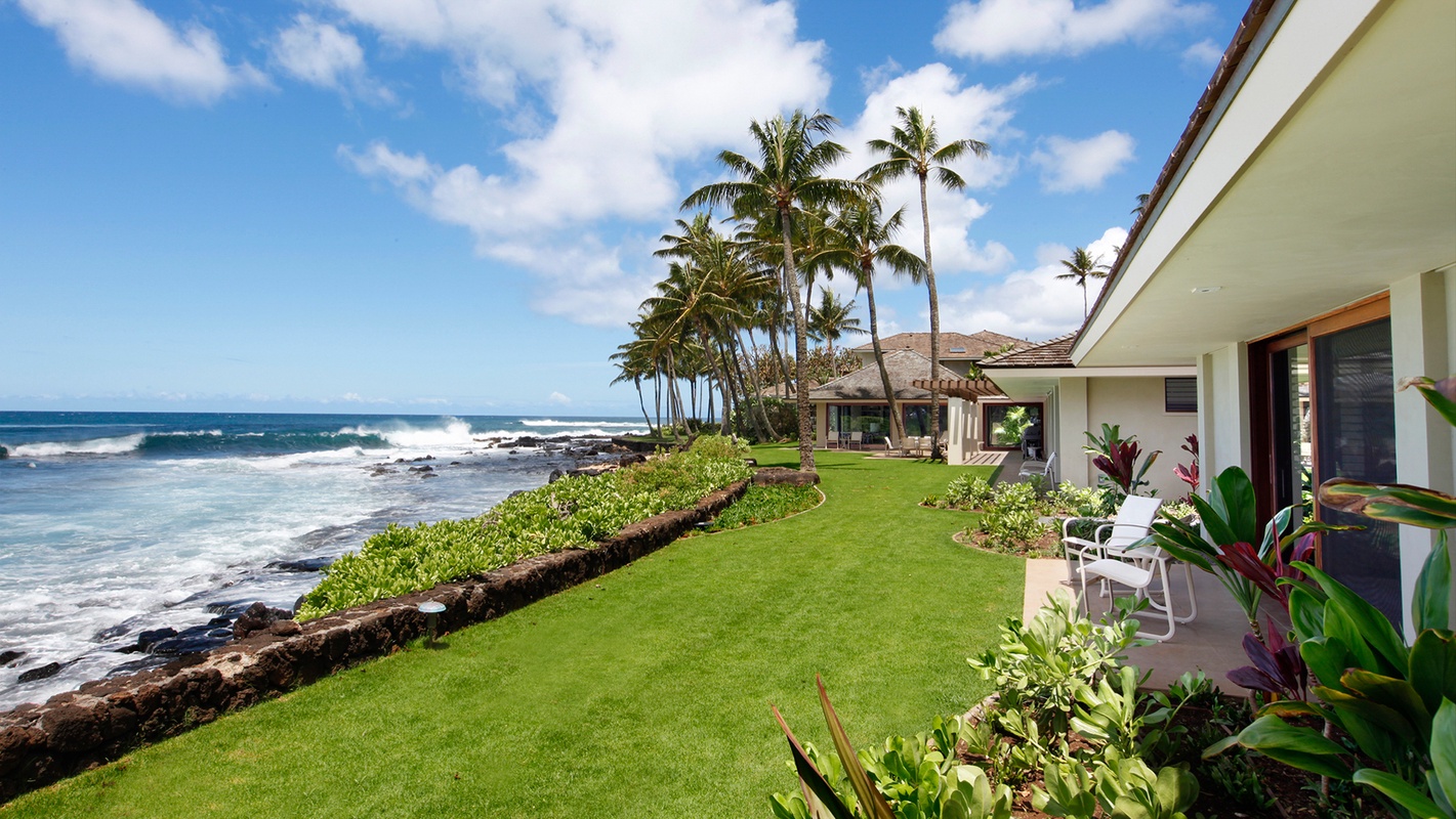
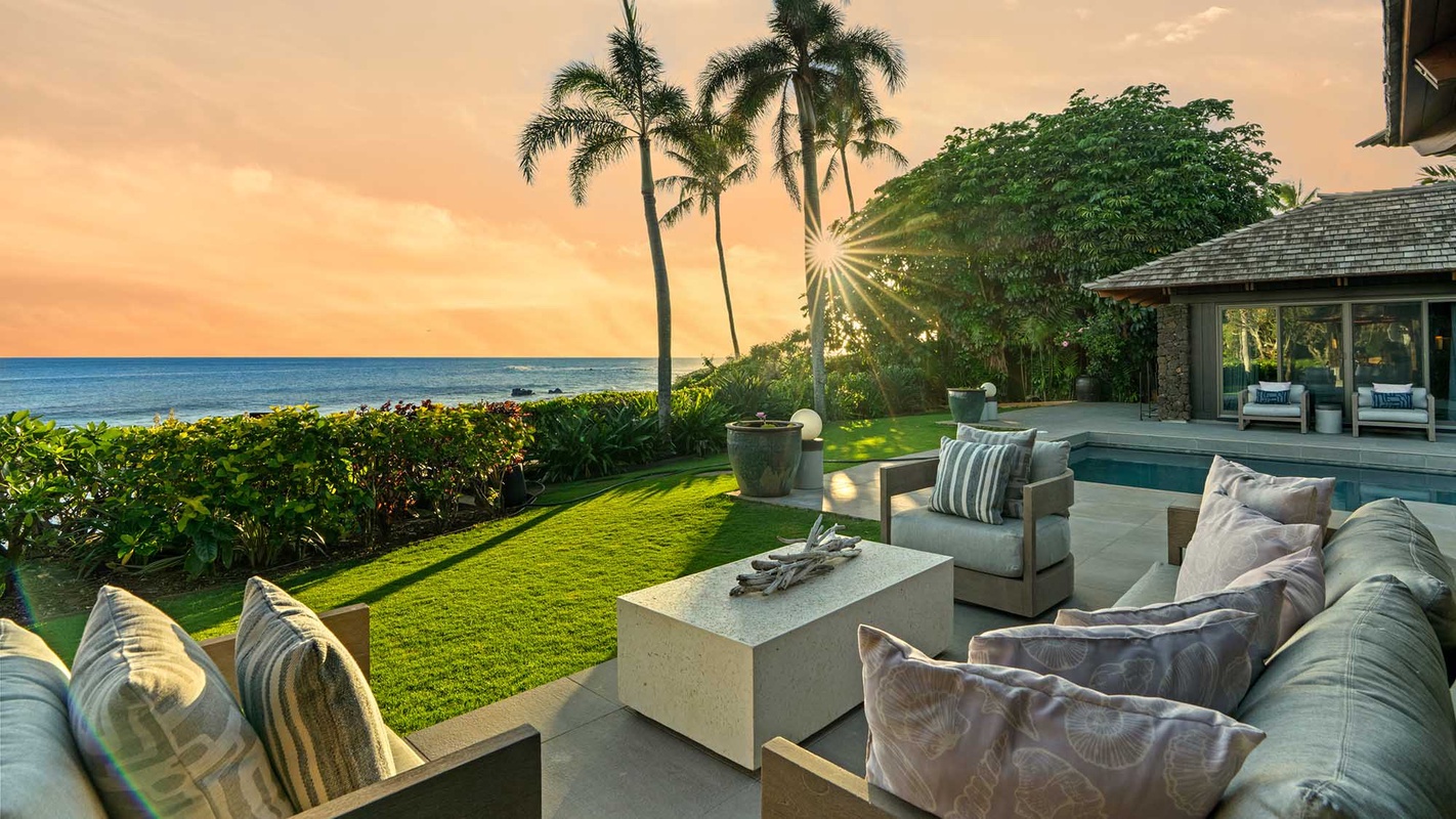
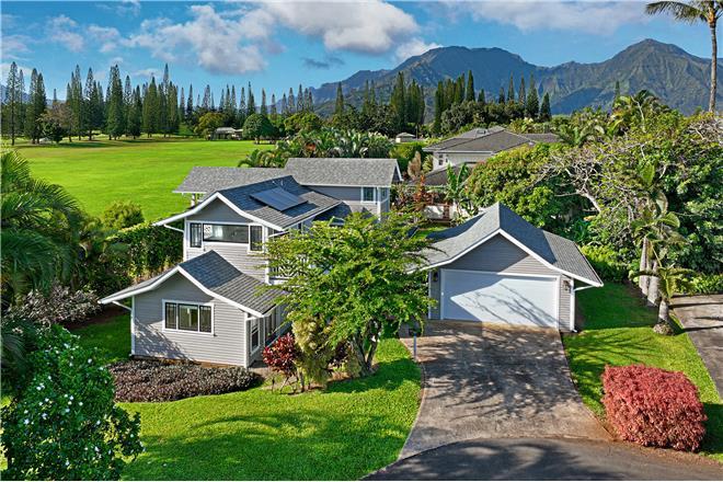
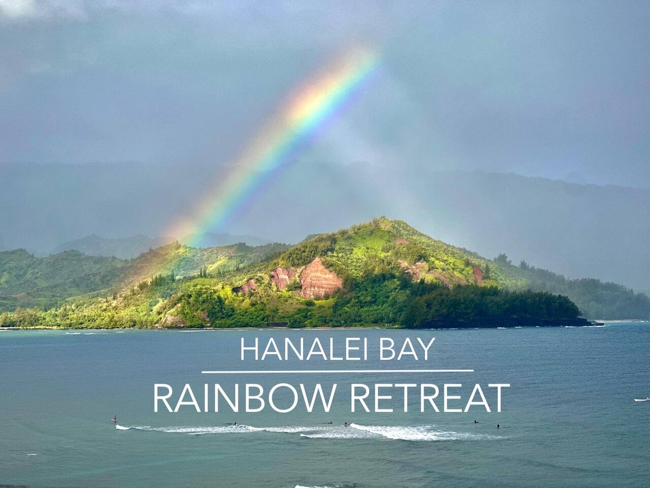
The north shore is defined by the Hanalei Valley — a broad agricultural valley planted in taro for centuries, still producing 60% of Hawaii's taro crop, visible from the overlook on Route 56 as a patchwork of green lo'i against the valley walls. Hanalei Bay is a 2-mile crescent of beach backed by the Hanalei River, with the Na Pali ridgeline visible on a clear day to the west. It is the north shore's social center: surfing, kayaking, stand-up paddleboarding, and a town small enough that everyone eats at the same handful of restaurants (Hanalei Taro & Juice, Pink's Creamery, Postcards Café).
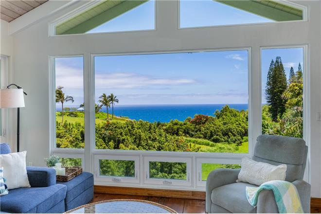
Princeville on the bluff above Hanalei Bay is the north shore's resort area — the St. Regis Princeville, the Prince Golf Course (consistently rated one of the most scenic courses in the US), and a residential community of vacation homes with Hanalei Bay and the Na Pali peaks visible from the lanais.
The South Shore: Poipu
Poipu on the sunny south shore is the island's primary beach destination — the south shore gets significantly less rain than the north, making it the reliable-weather option in winter. Poipu Beach Park has a tombolo (a sandbar connecting the shore to a small peninsula) that creates two protected swimming areas, one particularly popular with families. Brennecke's Beach adjacent is a bodyboarding wave. Shipwreck Beach at the Grand Hyatt Kauai is the dramatic cliff-backed alternative.
The Spouting Horn blowhole near the western end of Poipu ejects seawater through a lava tube with a hiss and a column of spray that can reach 50 feet. The adjacent blowhole adds a low moan that the Native Hawaiian tradition explains as the cry of a lizard trapped in the tube.
The Kauai Coffee Company estate in Kalaheo — 3,100 acres, the largest single coffee estate in the US — runs free tours and tastings of 100% Kauai-grown coffee seven days a week.
Find your base in Kaua'i, HI — browse stays indexed by CielStay.
Search stays on CielStay →Frequently asked questions
Do you need a permit to hike the Kalalau Trail on Kaua'i?
The first two miles to Hanakapi'ai Beach require a Ha'ena State Park day-use permit, available at gohaena.com. The full 11-mile trail to Kalalau Valley requires a backcountry camping permit released via lottery on camping.hawaii.gov — one of the most competitive backcountry permits in the US. Both permits sell out quickly; book as far in advance as the reservation window allows.
When is the best time to visit Kaua'i?
The south shore (Poipu) is a year-round destination with consistently sunny conditions. The north shore (Hanalei, Princeville) has a more pronounced wet season — November through March brings heavier rainfall that sustains the valley's lush character but can affect hiking and boat tours. Summer (June–September) is the driest island-wide and brings the calmest ocean for Zodiac tours and snorkeling along the Na Pali Coast.
Can you see the Na Pali Coast without hiking?
Yes — three methods don't require the Kalalau Trail. Zodiac boat tours from Port Allen on the south shore run the coast by sea from approximately May through September, entering sea caves at the base of the cliffs. Catamaran tours operate similar routes in calmer conditions. Helicopter tours from Lihue Airport fly the coast year-round (weather permitting) and are the only way to see the interior ridge system that separates the Na Pali cliffs from Waimea Canyon.
How far is Poipu from Hanalei Bay on Kaua'i?
Poipu (south shore) to Hanalei Bay (north shore) is about 40 miles by car — roughly 50–70 minutes through Lihue, depending on traffic. There is no direct road through the island's interior. Kauai's highway circles the east and north coasts; the south shore accesses via Koloa Road from Lihue. Most visitors choose one shore as their base — Poipu for sunshine reliability, Princeville/Hanalei for the dramatic valley and Na Pali proximity.
Stays near this guide
Top-rated independent stays in the region, ranked by CielStay authenticity score.


Try a search
Searches inspired by this guide — describe the vibe you want.
More guides


Nearby landmarks & attractions
Key destinations and attractions in the Kaua'i, HI area.
Na Pali Coast State Wilderness Park ↗ Maps
Eleven miles of inaccessible sea cliffs — accessible only by trail, boat, or helicopter. The defining image of Kauai.
Waimea Canyon ↗ Maps
The Grand Canyon of the Pacific — 10 miles long, a mile wide, and 3,600 feet deep.
Hanalei Bay ↗ Maps
Crescent-shaped bay on the North Shore — taro fields, a historic pier, and some of the most beautiful beach scenery in the Pacific.
This guide was assembled from the local knowledge of hosts with properties throughout Kaua'i, HI, as indexed by CielStay. The descriptions of restaurants, trails, swimming holes, and local tips reflect what hosts share with guests in their listings — not the observations of a travel journalist or guest reviewer. Photos are sourced from host listing images and are credited to their respective listings. Information about permits and trail conditions may change; always verify with official sources before your trip.