
Poipu, Kauaʻi, HI at a glance
- Shore
- South shore, the drier side of Kauaʻi
- From Līhuʻe Airport
- Route 50, then Maluhia Rd (Tree Tunnel)
- To Hanalei
- About 40 miles, 1 to 1.5 hours
- Nā Pali boats
- From Port Allen, west of Poipu
- Waimea Canyon (Oct 2026)
- Road closed after Hurricane Lowell
Poipu at a Glance
Poipu is Kauaʻi's south-shore resort district. It is a few miles of low condos, rental homes and resorts along the coast below the old sugar town of Kōloa. The south shore sits in the island's rain shadow, so it gets far less rain than the north shore. Its beaches are also the most dependable on the island from November to March, when big swells hit the north. Poipu has more rental homes than anywhere else on Kauaʻi, from oceanfront condo complexes like Kuhio Shores and Poipu Kai to homes up the hill toward Kōloa and Lāwaʻi.
From Līhuʻe Airport, take Kaumualiʻi Highway (Route 50) west and turn south onto Maluhia Road (Route 520). Maluhia Road runs through the Tree Tunnel, a mile of eucalyptus arching over the road, into Kōloa.
Beaches
Poipu Beach Park is the south shore's family beach. A tombolo, a sandbar running out to a small islet, shelters a shallow swimming area beside it, and the park has lifeguards. Hawaiian monk seals often haul out to rest here. They are an endangered species, so give them plenty of room and follow any roped-off areas or volunteers' directions.
Brennecke's Beach, next door, is a bodyboarding break. Its shorebreak is powerful and best left to experienced bodyboarders. Shipwreck Beach (Keoneloa), in front of the Grand Hyatt Kauai, is a long sandy beach with strong surf and currents. The cliff headland at its east end is the start of the Māhāʻulepū trail.
South-shore surf is biggest in summer, when swells arrive from the Southern Hemisphere. On any Hawaiian beach, swim near a lifeguard, ask the lifeguards about conditions, and stay out when the surf is up.
Māhāʻulepū Heritage Trail
The Māhāʻulepū Heritage Trail follows the coast east from Shipwreck Beach. It crosses cliffs of lithified sand dunes, passes tide pools and blowholes, and leads toward the undeveloped beaches of Māhāʻulepū. It is an easy out-and-back walk, and best early, before the heat and wind. Stay well back from the cliff edges.
Spouting Horn and the Gardens
West of Poipu on Lāwaʻi Road, Spouting Horn is a lava shelf where incoming waves force seawater up through a lava tube in a column of spray, with a hiss from a second opening. Hawaiian tradition tells of a giant lizard, a moʻo, trapped in the tube.
The National Tropical Botanical Garden has its South Shore Visitor Center across the road. Allerton Garden is seen by guided tour, and McBryde Garden is a self-guided walk in the Lāwaʻi Valley. Book ahead on the NTBG website, especially for Allerton.
Kōloa Town
Old Kōloa Town is the south shore's main street of shops and restaurants. A plantation started here in 1835 is regarded as Hawaiʻi's first commercial sugar plantation, and a monument near the old mill site marks it. Kōloa is also where you'll find groceries and supplies on the Poipu side.
West of Poipu
Kauai Coffee Company runs a visitor center between Kalāheo and ʻEleʻele, among its coffee fields. Its walking tour is free, and paid guided tours are also offered. Port Allen in ʻEleʻele is the main harbor for Nā Pali Coast raft and catamaran tours, which run when seas allow.
Farther west, the town of Waimea is the start of the road up Waimea Canyon. As of October 2026 that road is closed after Hurricane Lowell, and Kauaʻi's state parks other than Hāʻena and part of Wailua River remain closed. Check DLNR's park notices. See the Kauaʻi guide for the canyon and the Nā Pali Coast.
Find your base in Poipu, Kauaʻi, HI — browse stays indexed by CielStay.
Search stays on CielStay →Frequently asked questions
Is Poipu a good base in winter?
Yes. Poipu is on Kauaʻi's drier south shore, and its beaches are usually calmer than the north shore's from November to March, when big north swells arrive. South-shore surf is biggest in summer instead. Always check with the lifeguards before you swim.
What is the best beach in Poipu for families?
Poipu Beach Park. A sandbar running out to a small islet shelters a shallow swimming area, and the park has lifeguards. Hawaiian monk seals often rest on the sand there. Keep your distance and follow any roped-off areas.
How do you get from Līhuʻe Airport to Poipu?
Drive west on Kaumualiʻi Highway (Route 50), then turn south onto Maluhia Road (Route 520). It runs through the eucalyptus Tree Tunnel into Kōloa, and Poipu is just beyond.
How far is Poipu from Hanalei and the Nā Pali Coast?
Hanalei is about 40 miles from Poipu by road, through Līhuʻe and up the east side. Plan on one to one and a half hours. Nā Pali boat tours leave from Port Allen, west of Poipu, which is much closer.
Is Waimea Canyon open?
Not as of October 2026. Kōkeʻe Road is closed until further notice after Hurricane Lowell, and DLNR lists Kauaʻi's state parks other than Hāʻena and part of Wailua River as closed. Check dlnr.hawaii.gov/dsp/important-park-notices.
Stays near this guide
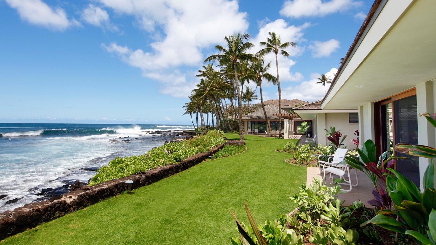
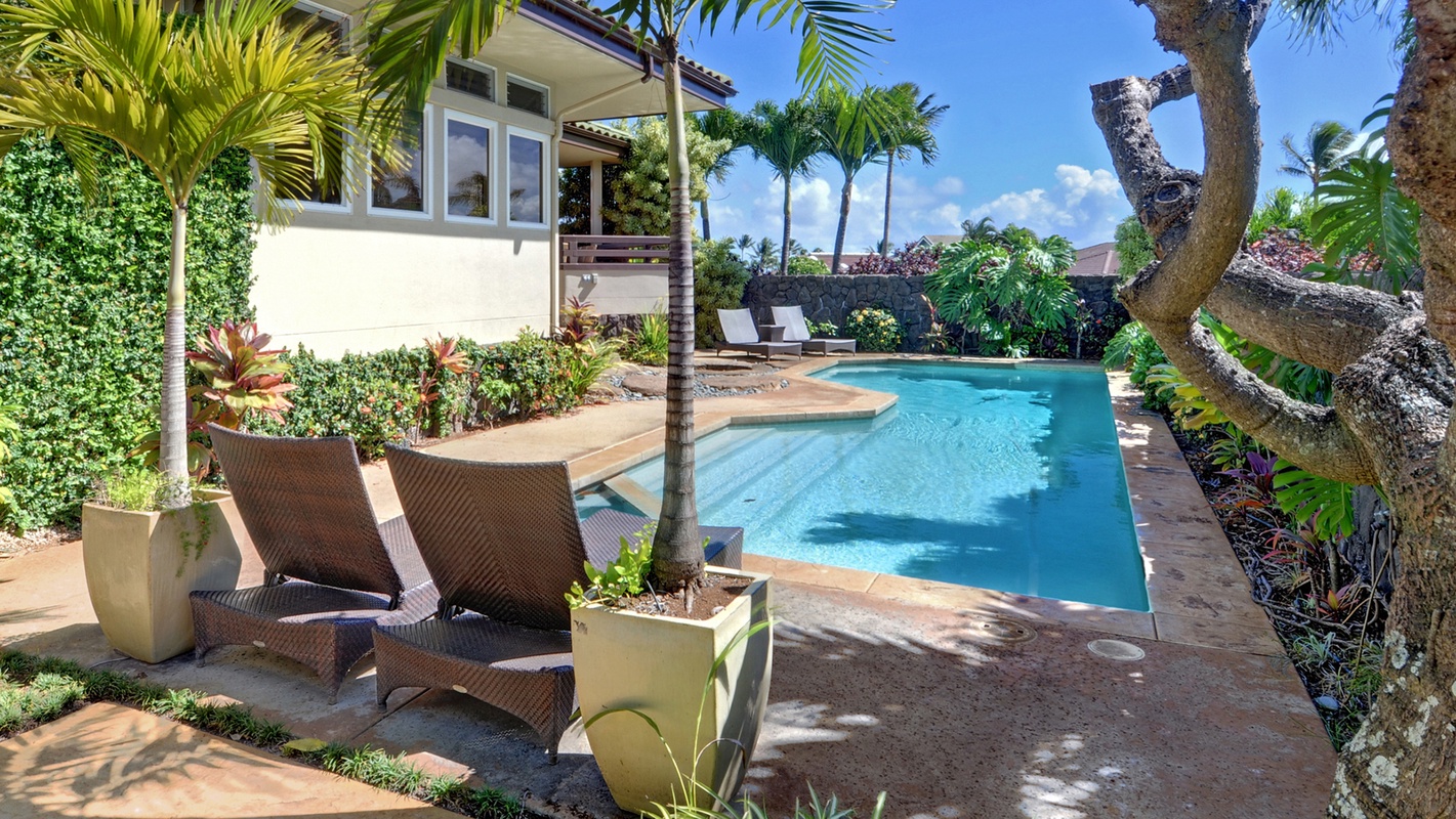
41 homes within 7 km on CielStay · all bookable on the host's own site. These are a few of them, chosen for this guide.


Try a search
Searches inspired by this guide — describe the vibe you want.
More guides


Nearby landmarks & attractions
Key destinations and attractions in the Poipu, Kauaʻi, HI area.
Poipu Beach Park ↗ Maps
A lifeguarded beach with a sandbar-sheltered swimming area, popular with families and monk seals.
Spouting Horn ↗ Maps
A lava-tube blowhole on Lāwaʻi Road, west of Poipu.
Māhāʻulepū Heritage Trail ↗ Maps
A coastal walk east from Shipwreck Beach over lithified sand-dune cliffs.
This guide was assembled from the local knowledge of hosts with properties throughout Poipu, Kauaʻi, HI, as indexed by CielStay. The descriptions of restaurants, trails, swimming holes, and local tips reflect what hosts share with guests in their listings — not the observations of a travel journalist or guest reviewer. Photos are sourced from host listing images and are credited to their respective listings. Information about permits and trail conditions may change; always verify with official sources before your trip.