Bryson City, NC at a glance
- Park entry
- No entrance fee; parking tag $5/day, $15/week, $40/year to park over 15 minutes
- Park gateway
- Oconaluftee Visitor Center, 2 miles north of Cherokee on US-441
- Helene closures (Oct 2026)
- Caldwell Fork, Gunter Fork and Swallow Fork trails; Big Creek Trail past 2 miles; Mingus Mill closed for rehab
- Bryson City
- Swain County seat, elevation 1,752 ft
- To Gatlinburg
- About 31 miles from Oconaluftee over Newfound Gap Road
- To Asheville
- About 35 miles from Maggie Valley
The Other Side of the Smokies
Most of the Great Smoky Mountains' 11.5 million yearly visits funnel through Gatlinburg. The North Carolina side gets a fraction of that traffic and has a different character: river towns instead of a Parkway, elk in the fields, a heritage railroad, and the homeland of the Eastern Band of Cherokee Indians. Three towns make the base — Bryson City, Cherokee and Maggie Valley — strung west to east along the park's southern edge.
This guide covers the North Carolina side. For Gatlinburg, Pigeon Forge, Cades Cove and the Tennessee towns, see the Gatlinburg & Tennessee Smokies guide. Asheville, about 35 miles east of Maggie Valley, has its own guide.
Before You Go: Parking Tags and Helene Closures
There is no entrance fee, but you need a parking tag. As of October 2026, any vehicle parked anywhere in the national park for longer than 15 minutes must display a physical tag: $5 a day, $15 a week or $40 a year. Daily and weekly tags are sold on Recreation.gov (print them), at visitor centers including Oconaluftee, and from park machines (credit card only); annual tags come from Smokies Life. A phone screenshot doesn't count, and an America the Beautiful pass doesn't replace the tag. Details are on the NPS Fees & Passes page.
Hurricane Helene still shapes the NC side. The September 2024 storm hit western North Carolina hardest. As of October 2026, the NPS lists these park closures from Helene damage: the Caldwell Fork, Gunter Fork and Swallow Fork trails are closed to all users; the Big Creek Trail is open only for its first two miles, to Mouse Creek Falls; hiking the Boogerman Trail is not advised because of a deep stream crossing; backcountry campsites #41 and #42 are closed; and Straight Fork Road has no 2026 opening date. Separately, Mingus Mill near Oconaluftee is closed for preservation work. Check the NPS Temporary Closures page before you go.
The Blue Ridge Parkway, which begins at Cherokee, had long stretches closed after Helene. As of October 19, 2026, the NPS lists the whole run from Cherokee to Asheville as open; some sections farther north, around Mount Mitchell and Craggy Gardens, are still closed. Status changes, sometimes daily — check the NPS Parkway road status page before you drive it.

Oconaluftee and Newfound Gap Road
Newfound Gap Road (US-441) enters the park two miles north of Cherokee at the Oconaluftee Visitor Center, the park's southern gateway. Behind the visitor center is the Mountain Farm Museum, an open-air collection of log farm buildings, and the fields around it are home to one of the park's two main elk herds — look early in the morning or toward dusk. The Oconaluftee River Trail, about 3 miles round-trip along the river to Cherokee, is one of only two trails in the park where leashed dogs and bicycles are allowed.
From Oconaluftee the road climbs about 31 miles over Newfound Gap (5,046 feet) to Gatlinburg — an easy day trip to the Tennessee side. Near the top, Kuwohi Road branches off to Kuwohi (formerly Clingmans Dome; the Cherokee name was officially restored in September 2024), the highest point in the park at 6,643 feet. In 2026 the road is scheduled to be open April 1 through November 29, weather permitting; a steep half-mile paved path leads from the parking area to the observation tower.
Bryson City
Bryson City is the Swain County seat, a small river town (about 1,560 people in 2020) at 1,752 feet on the Tuckasegee River. The downtown is a few walkable blocks around the depot of the Great Smoky Mountains Railroad, whose main trip runs out along Fontana Lake into the Nantahala Gorge and back, with a layover by the river; a shorter run follows the Tuckasegee to Dillsboro. Schedules and fares change by season — check the railroad's own site. The Nantahala itself is the region's whitewater river, with outfitters including the Nantahala Outdoor Center.
Deep Creek, just north of town, is the park's busiest corner on this side. A short loop of a couple of miles passes three waterfalls — Juney Whank, Tom Branch and Indian Creek — and bicycles are allowed on part of the Deep Creek trail, one of the few places in the park they are. Deep Creek is famous for summer tubing, with rental shops just outside the park boundary — but the NPS says swimming and tubing are not recommended in park waters. Drowning is one of the leading causes of death in the park: there are no lifeguards, rocks near falls are slick, the water is cold, and storms upstream can raise creeks quickly even when it isn't raining where you are. Don't jump or dive in, and watch children closely.
West of town, Lakeview Drive — the "Road to Nowhere" — runs about six miles into the park and ends at a 1,200-foot unlit tunnel you can walk through. It was meant to follow the north shore of Fontana Lake, replacing roads flooded when Fontana Dam was built; work stopped in the early 1970s, and in 2010 the federal government agreed to pay Swain County $52 million instead of finishing it. Fontana Dam, about 30 miles from Bryson City, is the tallest dam in the eastern United States at 480 feet, and the Appalachian Trail crosses its top.
Bryson City is the deepest part of the NC inventory — Downtown Gem is a walk from the depot, and Bear Crawl Inn sits between town and Cherokee, a few minutes from Deep Creek.
Cherokee and the Qualla Boundary
Cherokee is the capital of the Eastern Band of Cherokee Indians, on the Qualla Boundary — land the tribe bought in the 1870s and now holds in trust. The best introduction is the Museum of the Cherokee People (formerly the Museum of the Cherokee Indian), which tells the Cherokee story in the tribe's own voice. The Oconaluftee Indian Village, a living-history recreation of an 18th-century Cherokee community, runs April 21 to October 31 in 2026, and the outdoor drama *Unto These Hills* plays on summer evenings. Harrah's Cherokee casino is the big modern draw. The Oconaluftee River runs right through town.
Cherokee is the southern end of the Blue Ridge Parkway, which climbs from here toward Waterrock Knob and Asheville — see the status note above before driving it.

Maggie Valley and Cataloochee
Maggie Valley (Haywood County, about 1,690 people, at 2,792 feet) is a long valley town on US-19 between Cherokee and Waynesville, with motels, cabins up the slopes on both sides, and Cataloochee Ski Area above it — a small mountain (5,400-foot summit, 740 feet of vertical) that makes snow and usually opens in November.
The big reason to stay here is Cataloochee Valley, a remote corner of the park reached by a winding, partly gravel road. It has the park's other main elk herd, best seen at dawn and dusk, plus preserved churches, a schoolhouse and homesteads from the farming community that lived there before the park. In September and October the bulls bugle and are at their most aggressive: stay in or near your car, and remember it is illegal to approach elk or bears within 50 yards (150 feet). Cataloochee is also where several of the Helene trail closures are — Caldwell Fork among them — so check before planning a hike.
Seasons
Fall is peak season: color usually starts on the high ridges in early to mid-October and works down into the valleys toward early November, and the railroad's fall trips sell out. Summer is tubing, rafting and the railroad; spring brings wildflowers and the reopening of the high roads (Kuwohi Road on April 1). In winter Kuwohi Road is closed, Cataloochee Ski runs, and the towns are quiet and cheap.
Where to Stay
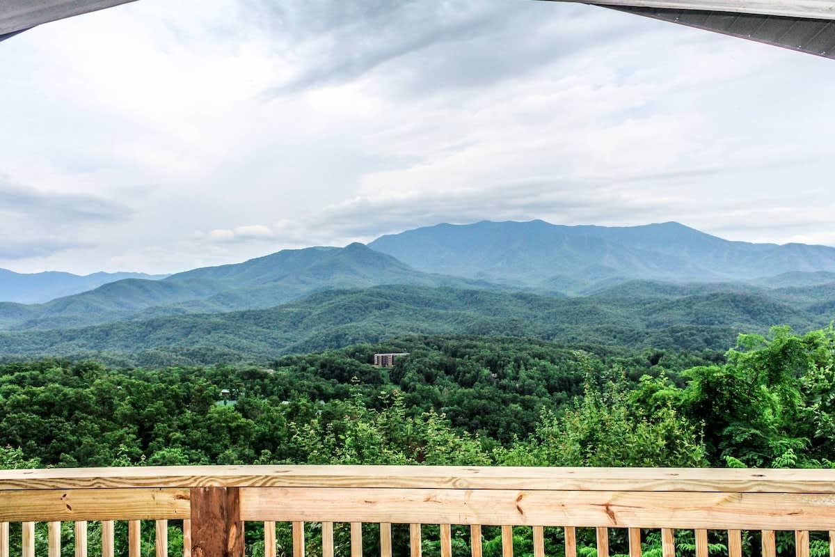
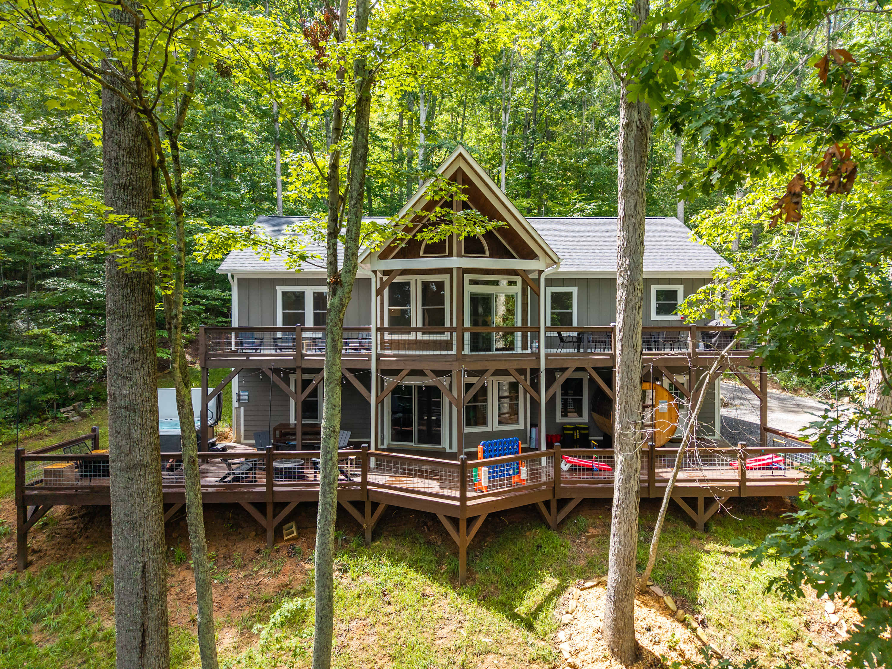
CielStay lists around 140 homes between Bryson City and Maggie Valley, most of them cabins with mountain views and hot tubs, with a median of roughly $160 a night. Bryson City suits families who want the railroad, Deep Creek and a walkable downtown; Cherokee puts you closest to Oconaluftee and Newfound Gap Road; Maggie Valley is the base for Cataloochee and for day trips to Asheville. Many cabins sit up steep mountain roads — check whether a host recommends four-wheel or all-wheel drive, especially in winter.
Find your base in Bryson City, NC — browse stays indexed by CielStay.
Search stays on CielStay →Frequently asked questions
Do you need a pass to visit the North Carolina side of the Smokies?
Great Smoky Mountains National Park has no entrance fee, but as of October 2026 any vehicle parked in the park for more than 15 minutes, on either the North Carolina or Tennessee side, must display a parking tag: $5 a day, $15 a week or $40 a year. Daily and weekly tags are sold on Recreation.gov (printed), at visitor centers including Oconaluftee, and from park machines; annual tags come from Smokies Life. Digital copies are not accepted.
Is the North Carolina side of the Smokies still closed from Hurricane Helene?
Mostly it is open, but as of October 2026 the National Park Service still lists Helene-related closures: the Caldwell Fork, Gunter Fork and Swallow Fork trails are closed to all users, the Big Creek Trail is open only for its first two miles to Mouse Creek Falls, the Boogerman Trail is not advised, and backcountry campsites #41 and #42 are closed. Mingus Mill near Oconaluftee is closed for rehabilitation. The Blue Ridge Parkway from Cherokee to Asheville was listed open on October 19, 2026. Check nps.gov/grsm/planyourvisit/temproadclose.htm before you go.
Where can you see elk in the Smoky Mountains?
Great Smoky Mountains National Park has two main elk herds, both in North Carolina: in the fields around the Oconaluftee Visitor Center, two miles north of Cherokee on US-441, and in Cataloochee Valley, reached from the Maggie Valley area by a winding, partly gravel road. Early morning and dusk are best. It is illegal to approach elk within 50 yards (150 feet), and bulls are aggressive during the September–October rut.
Can you go tubing at Deep Creek?
Deep Creek, just north of Bryson City, is a popular summer tubing spot, and tube rentals operate just outside the park boundary. But the National Park Service says swimming and tubing are not recommended in park waters, and drowning is one of the leading causes of death in the park: there are no lifeguards, the water is cold, rocks are slick, and creeks can rise quickly after storms upstream. Never jump or dive in, and watch children closely.
How far is Bryson City from Gatlinburg?
Bryson City is a short drive west of Cherokee, the North Carolina gateway to the park. From Cherokee, Newfound Gap Road (US-441) runs about 31 miles through the national park over Newfound Gap to Gatlinburg, Tennessee — a slow, winding mountain drive with overlooks. Asheville is about 35 miles east of Maggie Valley.
Stays near this guide
121 homes within 22 km on CielStay · 120 bookable on the host's own site. These are a few of them, chosen for this guide.


Try a search
Searches inspired by this guide — describe the vibe you want.
More guides
Nearby landmarks & attractions
Key destinations and attractions in the Bryson City, NC area.
Great Smoky Mountains National Park ↗ Maps
The North Carolina entrance at Oconaluftee, with elk in the fields and the Mountain Farm Museum.
Bryson City ↗ Maps
Swain County seat on the Tuckasegee River, home depot of the Great Smoky Mountains Railroad, next to Deep Creek.
Cherokee, North Carolina ↗ Maps
Capital of the Eastern Band of Cherokee Indians on the Qualla Boundary; southern end of the Blue Ridge Parkway.
Cataloochee Valley ↗ Maps
Remote park valley near Maggie Valley with an elk herd and preserved historic buildings.
This guide was assembled from the local knowledge of hosts with properties throughout Bryson City, NC, as indexed by CielStay. The descriptions of restaurants, trails, swimming holes, and local tips reflect what hosts share with guests in their listings — not the observations of a travel journalist or guest reviewer. Photos are sourced from host listing images and are credited to their respective listings. Information about permits and trail conditions may change; always verify with official sources before your trip.