
Red Rock, Canyon Country, and the Colorado Plateau
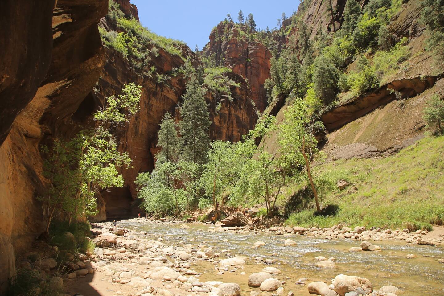
Moab sits where the Colorado River cuts a canyon through one of the most spectacular concentrations of sandstone geology on earth. To the north, Arches National Park contains more than 2,000 documented natural stone arches. To the southwest, Canyonlands National Park spreads across 527 square miles where the Colorado and Green Rivers converge in a canyon system of almost incomprehensible scale. Framing it all to the east, the La Sal Mountains rise to nearly 13,000 feet above a landscape otherwise defined by red desert.
The town itself — a few thousand permanent residents stretched along Main Street — functions almost entirely as a base camp for the people who have come to ride, hike, drive, and raft through the canyon country surrounding it. What Moab does unusually well is serve almost every kind of active traveler at once: technical mountain bikers, first-time national park visitors, jeep and UTV enthusiasts, river rafters, and backpackers all use it as their staging point for the same desert.
Arches National Park
The defining number at Arches National Park is more than 2,000 — the count of documented natural sandstone arches within the park's boundaries, the highest concentration anywhere on earth. They range from narrow fins barely wider than a human body to massive formations like Landscape Arch, a thin ribbon of stone with a 306-foot span, and Double Arch, where two great stone spans share a single base. Delicate Arch, a freestanding formation 52 feet tall above a sandstone bowl overlooking the Colorado River canyon, is the most photographed natural arch in the world and appears on Utah's license plate.
Most visitors see the park by driving the 18-mile paved scenic road with stops at the major viewpoints — an approach that works well for a half-day visit. Going deeper rewards the time: the Fiery Furnace is a maze of narrow sandstone corridors requiring a permit and either a ranger-guided walk or demonstrated navigation skill. Devils Garden at the park's north end concentrates the greatest number of arches along a 7.2-mile trail that passes eight named arches in close succession.
Timed entry is required during peak season (approximately April through October). Reserve your entry window at recreation.gov well in advance — same-day availability during spring and fall weekends is rare. The standard America the Beautiful annual pass is accepted.
Canyonlands National Park
Canyonlands National Park operates at a different and larger scale than Arches. The Island in the Sky district — accessible via a paved road from the junction with Highway 191 — sits on a mesa top at 6,000 feet, with continuous overlook views into a canyon system where the Colorado and Green Rivers have carved the landscape 2,000 feet below. Grand View Point at the end of the road delivers one of the great panoramic landscapes in the American Southwest.
Mesa Arch, a short half-mile walk from the Island in the Sky visitor center, frames the canyon below through its opening and is one of the most photographed sunrise locations in Utah — the underside of the arch glows orange as the first light catches the walls below. The White Rim Road, a 100-mile 4WD loop around the base of the Island in the Sky mesa, is one of the great remote multi-day adventures in the canyon country; permits are required.
The Needles and Maze districts require long drives on unpaved roads and see dramatically fewer visitors. If solitude in canyon country is the goal, the Maze — one of the most remote places in the contiguous United States — is the destination.
Dead Horse Point State Park
Between Arches and Canyonlands, Dead Horse Point State Park sits on a narrow mesa projecting into the Colorado River canyon 2,000 feet above the river. The overlook at the tip of the point is the classic Moab view: the Colorado River's oxbow bend far below, the Canyonlands canyon system spreading beyond, the La Sal Mountains on the horizon. Multiple hosts at Moab properties list it alongside Arches and Canyonlands as an essential day from town.
Camping is available; the park is smaller and quieter than the national parks. Sunrises and sunsets from the point are exceptional.
The Slickrock: Mountain Biking, Off-Road, and Sand Flats
East of town, the Sand Flats Recreation Area is the center of Moab's other great identity: its slickrock. The bare Navajo sandstone that covers the canyon country east of town has a sandpaper-like surface that provides extraordinary traction for both mountain bikes and off-road vehicles — a counterintuitive material that makes possible some of the most technically demanding riding terrain anywhere.
The Slickrock Bike Trail is the most famous of these routes: a 9.6-mile loop across open sandstone marked by painted dots rather than conventional trails. Riders follow the dots as the terrain rises and falls unpredictably, climbs steep sandstone faces, and skirts drops above the canyon. It is technically demanding and recommended for experienced riders. A 2.3-mile practice loop lets newcomers test the surface and their equipment before committing to the full route.
Hell's Revenge — a UTV and 4WD trail traversing steep slickrock ledges above the canyon — runs through the same corridor. Hosts at the Strata at Lionsback note that the property has "patio views of Hell's Revenge Trail" and is walkable to the Sand Flats area, with direct access on foot or bike to Sand Flats, Fins and Things, and the Slickrock Trail. Hosts at properties in the Redcliff area north of town mention trails including Pipe Dream and Hidden Valley within minutes of their location.
Also accessible from the Moab area: Goblin Valley State Park, mentioned by hosts at area properties, is a landscape of thousands of free-standing sandstone formations unlike anything else in the Southwest.
The Colorado River
The Colorado runs directly through Moab's canyon, and the stretch immediately below town is where most river activities concentrate. Rafting ranges from flat-water float trips through soaring canyon walls to multi-day whitewater expeditions on downstream sections. The canyon walls visible from the river — Wingate sandstone buttressing the rim, Navajo sandstone below — offer a completely different view of the same country visible from the parks and trails above.
Highway 128 follows the Colorado River northeast from Moab toward Castle Valley and the Fisher Towers — one of the most scenic drives in Utah, with the road running beneath tower formations for miles before the valley opens and the La Sal Mountains rise ahead.
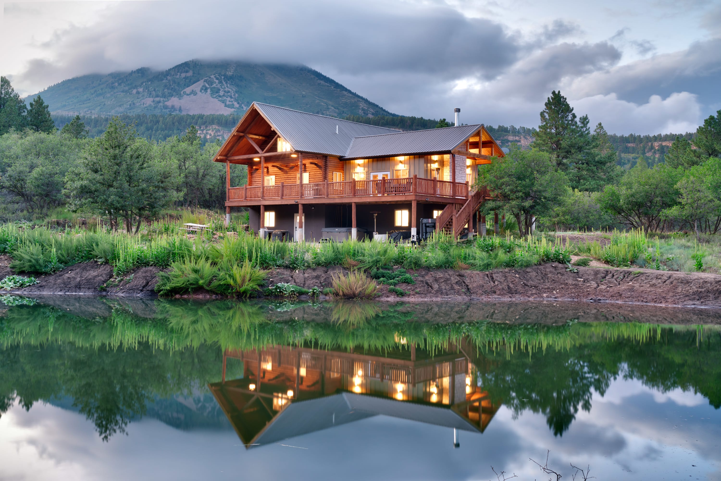
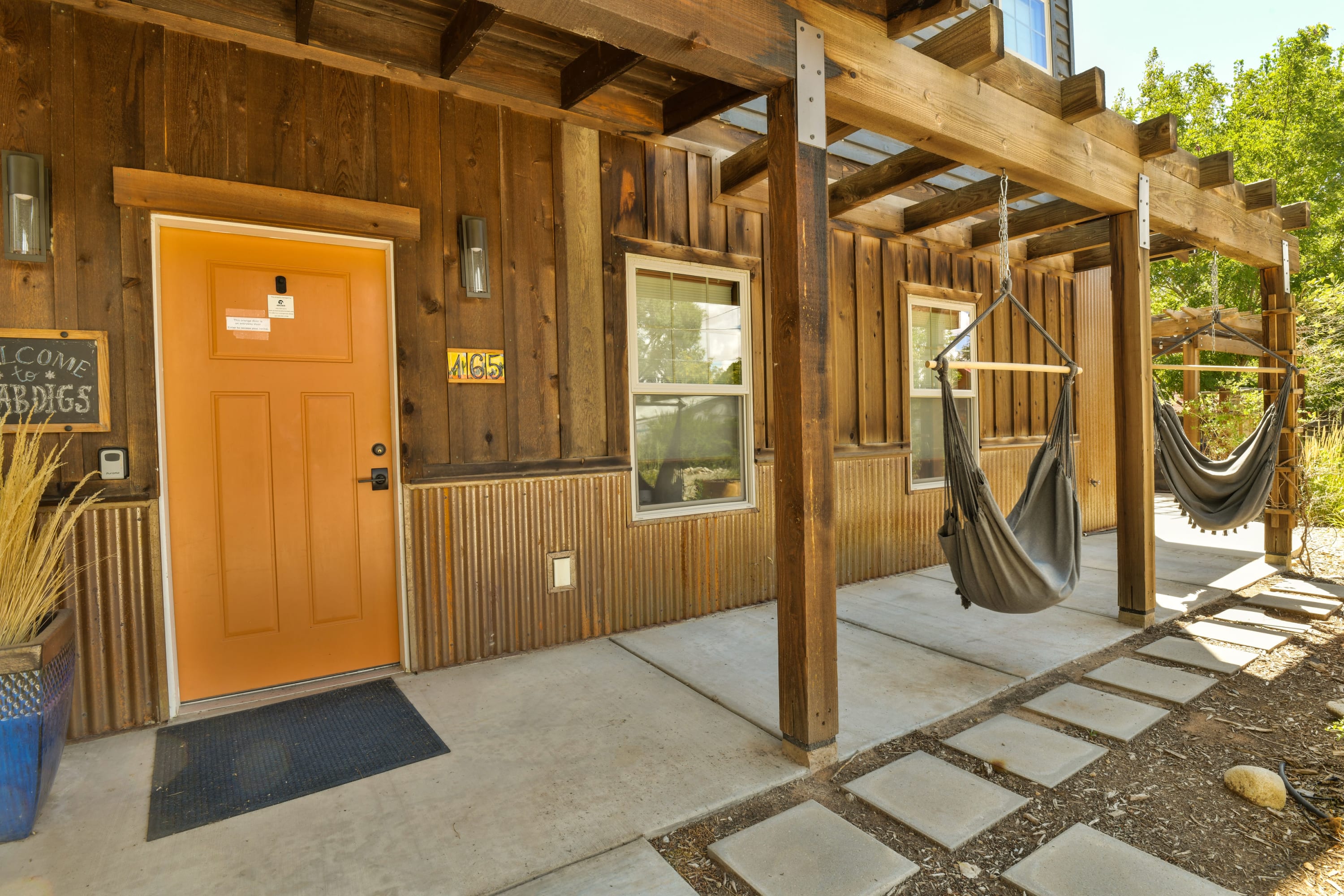
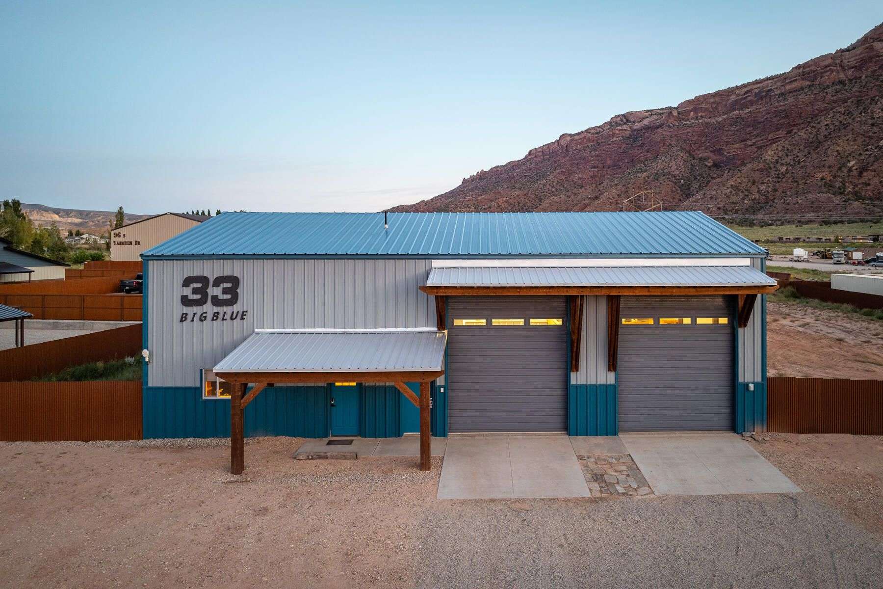
Where to Stay in Moab
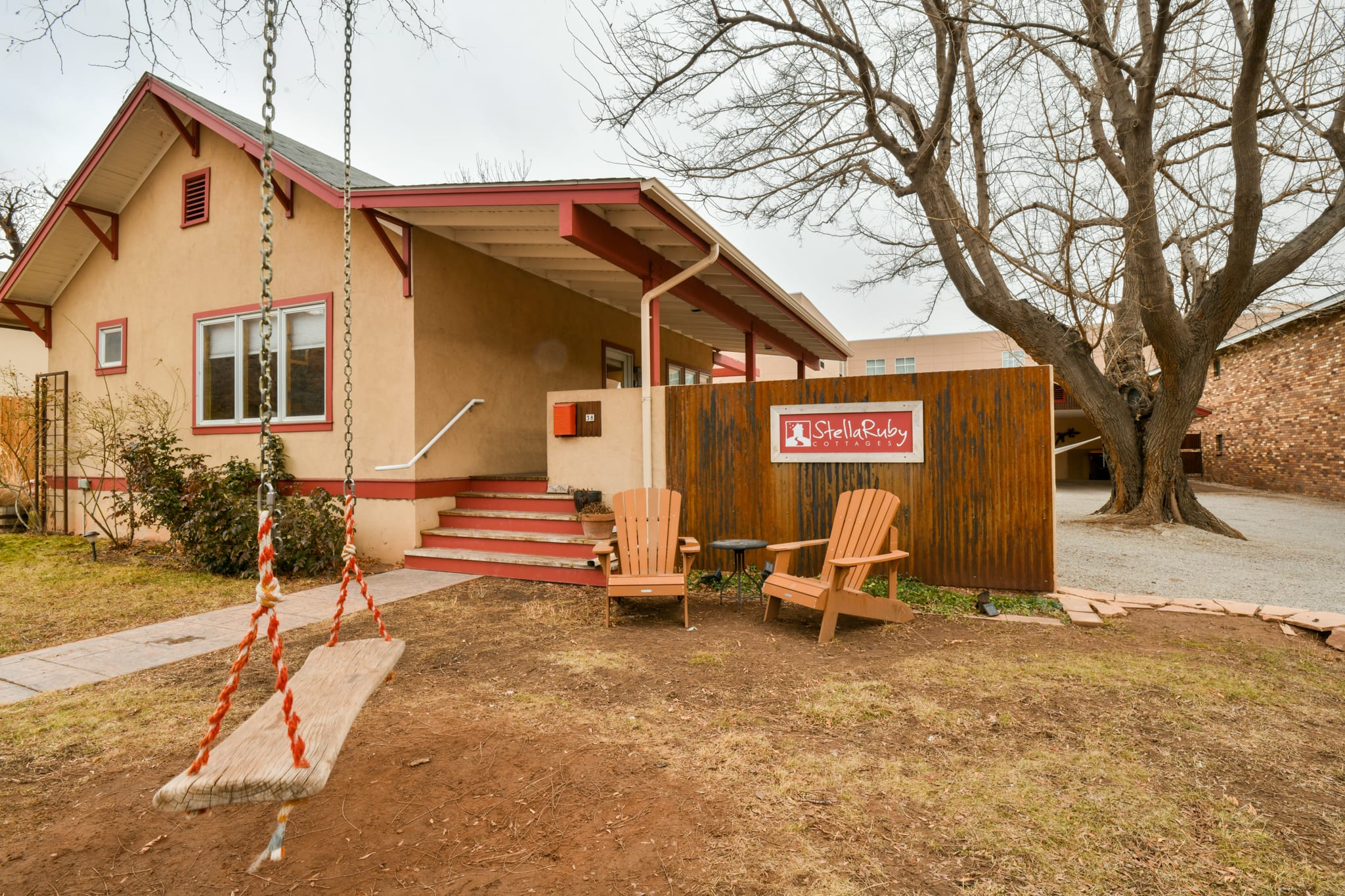
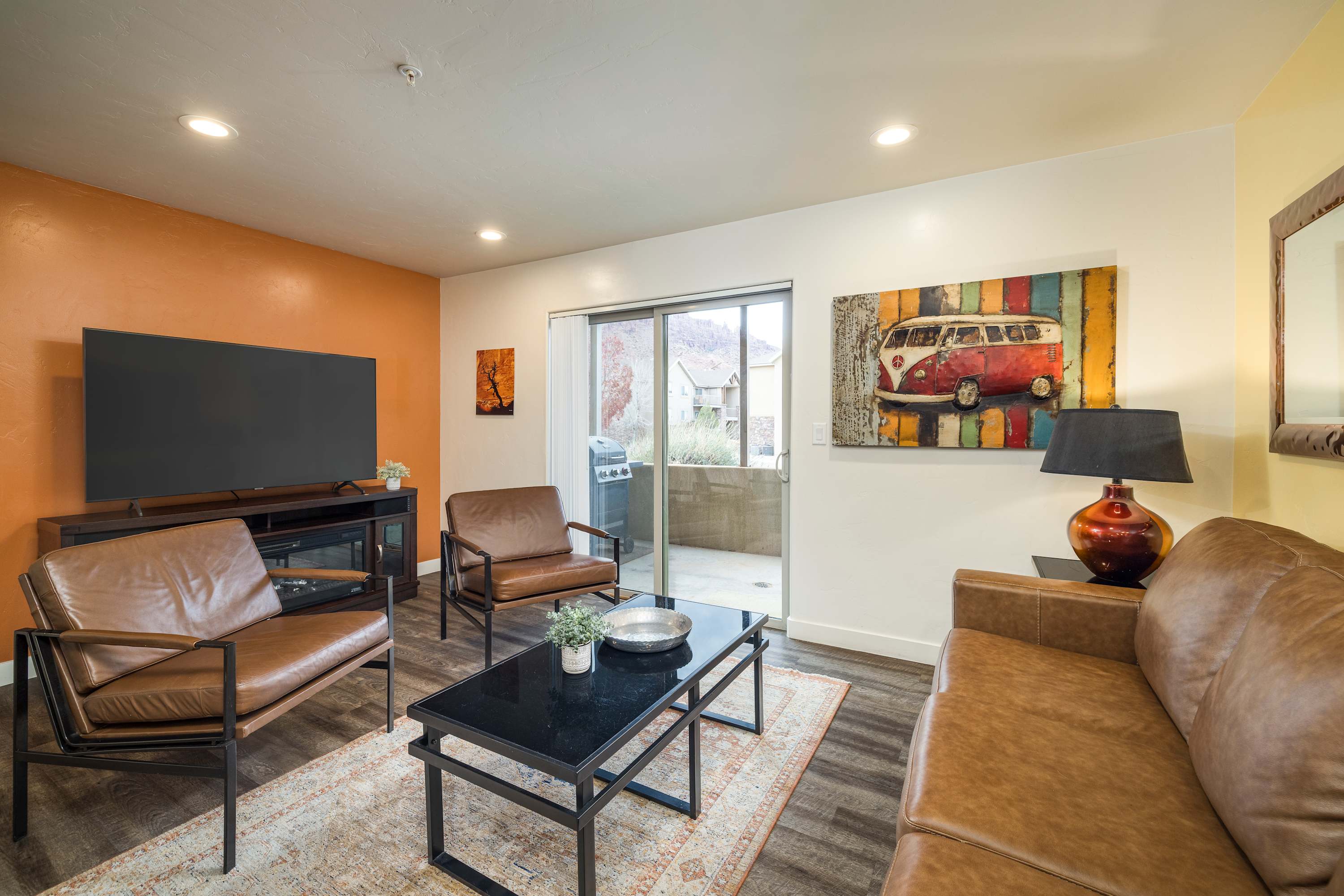
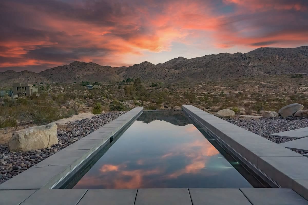
Moab's vacation rental inventory clusters in three zones. Downtown properties — like the Stella Ruby Cottages on the Moab townsite — are described by hosts as "steps away from dining, shopping and local favorites" and come equipped with ample parking for adventure vehicles: trailers, SXSs, jeeps, and bikes.
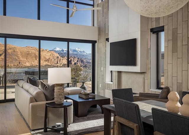
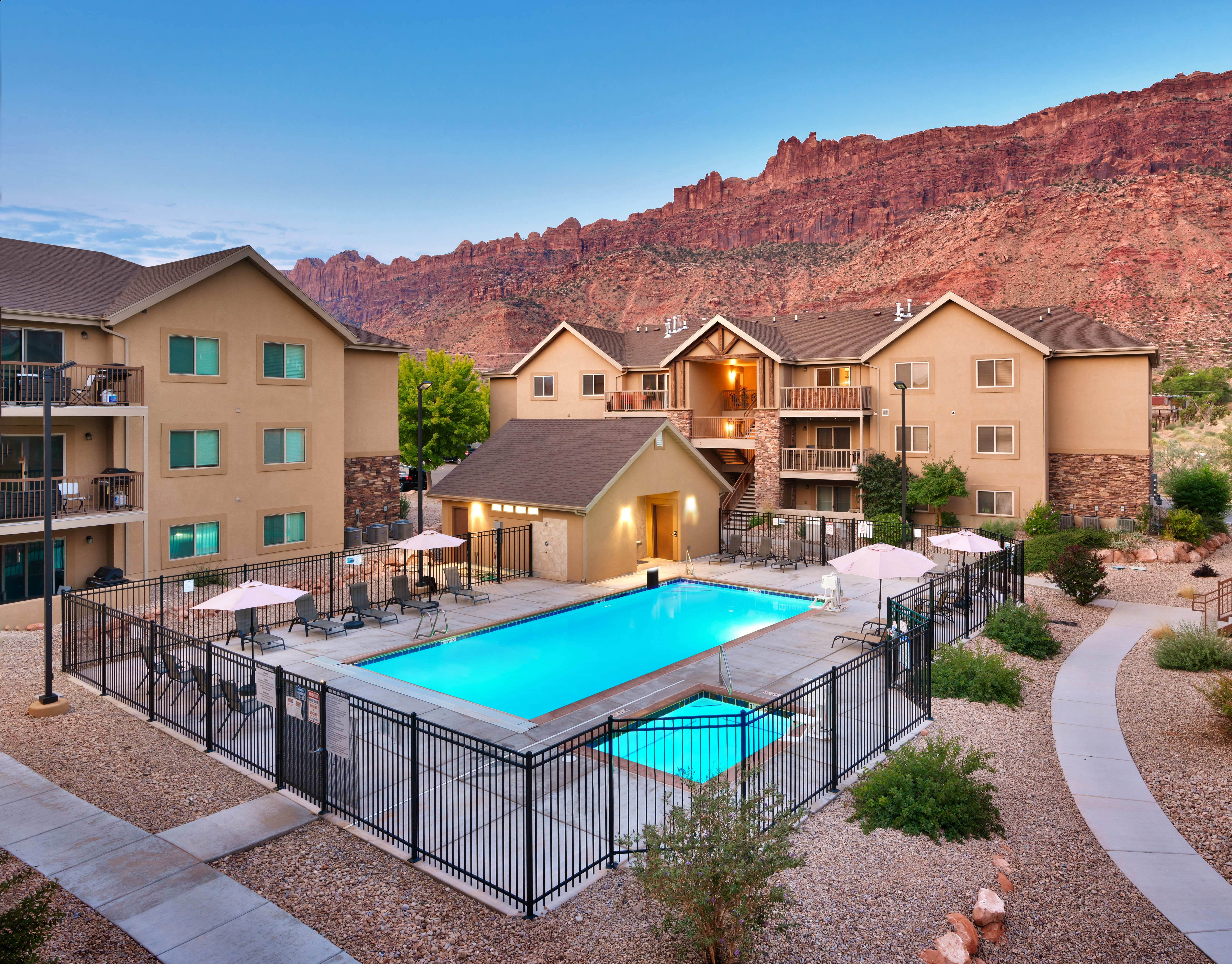
The Redcliff corridor north of downtown has several resort-style condo properties that hosts describe as sitting "just minutes from Arches National Park, Canyonlands National Park, and Dead Horse Point State Park." The setting is framed by what hosts call "the majestic Wingate Sandstone cliffs to the south, vistas of the towering La Sal Mountains to the East, the rolling Navajo Sandstone slickrock to the north, and bustling downtown to the west." Several properties in this corridor are 4 miles from downtown and only 10 minutes from Arches National Park per host copy.
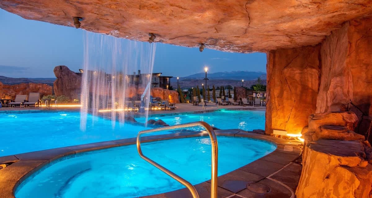
The Sand Flats corridor east of town puts guests closest to the slickrock trailheads. The Strata at Lionsback — a newly built luxury property in this area — is described by hosts as "just two miles from Downtown Moab" with walkable access to Sand Flats, Hells Revenge, Fins and Things, and the Slickrock Trail.
When to Go and Getting There
Spring (March through May) is peak season: temperatures in the 60s and 70s, long days, wildflowers in canyon bottoms, and red rock at its most vivid. It is also the most crowded period — Arches timed-entry reservations and vacation rentals book out months ahead.
Fall (September through November) offers comparable temperatures and adds color from cottonwoods along the river corridors. Crowds thin after Labor Day and conditions are often excellent into late October.
Summer (June through August) is hot — temperatures regularly exceed 100°F in the canyon country. Mountain bikers and off-road riders still come, launching before dawn and finishing by midmorning. River trips and canyon drives are popular throughout the day.
Winter (December through February) brings solitude and occasional snow on the canyon rims. Arches timed entry is not required. The La Sal Mountains receive ski-quality snow. Many photographers and hikers consider winter canyon light among the most beautiful of the year.
Moab is approximately a 3.5-hour drive from Salt Lake City and roughly a 4.5-to-5-hour drive from Denver via Interstate 70. The nearest commercial airport is Canyonlands Field (CNY) in Moab with limited regional service; most visitors fly into Salt Lake City International (SLC) and drive south.
Find your base in Moab, UT — browse stays indexed by CielStay.
Search stays on CielStay →Frequently asked questions
When is the best time to visit Moab, Utah?
Spring (March through May) and fall (September through November) are the ideal windows — temperatures in the 60s and 70s, clear skies, and dramatic red rock light. Summer regularly exceeds 100°F in the canyon country, limiting strenuous hiking to early mornings. Winter brings solitude and snow on the canyon rims, with no timed-entry requirement at Arches. Spring and fall accommodations book out months ahead; plan accordingly.
Do I need a timed-entry permit for Arches National Park?
Yes. Arches National Park requires timed-entry reservations during peak season — approximately April through October. Reserve your entry window at recreation.gov well in advance; same-day availability during spring and fall weekends is rare. Canyonlands National Park and Dead Horse Point State Park do not currently require timed-entry permits. The America the Beautiful annual pass covers entry fees at both national parks.
How far is Moab from Salt Lake City and Denver?
Moab is approximately 235 miles southeast of Salt Lake City — roughly a 3.5-hour drive via US-191. From Denver it is approximately 350 miles southwest via Interstate 70 through Grand Junction — about 4.5 to 5 hours. Most visitors fly into Salt Lake City International (SLC) and drive south. Canyonlands Field (CNY) in Moab handles limited regional flights.
What is the Slickrock Trail and is it suitable for beginners?
The Slickrock Bike Trail is a world-famous 9.6-mile mountain bike loop across bare Navajo sandstone in Moab's Sand Flats Recreation Area. Riders follow painted dots across open, rolling sandstone with no conventional trail markers. It is technically demanding and not recommended for beginners. A 2.3-mile practice loop lets newcomers test the surface and their skills before committing to the full route. Experienced riders rate it as one of the premier mountain bike experiences in the world.
Stays near this guide
Top-rated independent stays in the region, ranked by CielStay authenticity score.

Try a search
Searches inspired by this guide — describe the vibe you want.
More guides

Nearby landmarks & attractions
Key destinations and attractions in the Moab, UT area.
Arches National Park ↗ Maps
Over 2,000 natural stone arches — Delicate Arch is the symbol of Utah and one of the most recognized geological features in the world.
Canyonlands National Park ↗ Maps
Utah's largest national park — carved by the Colorado and Green Rivers into three districts of otherworldly canyon country.
Dead Horse Point State Park ↗ Maps
A narrow mesa promontory 2,000 feet above the Colorado River — arguably the best view in Utah, and that's saying something.
This guide was assembled from the local knowledge of hosts with properties throughout Moab, UT, as indexed by CielStay. The descriptions of restaurants, trails, swimming holes, and local tips reflect what hosts share with guests in their listings — not the observations of a travel journalist or guest reviewer. Photos are sourced from host listing images and are credited to their respective listings. Information about permits and trail conditions may change; always verify with official sources before your trip.