Most people come to southern Utah for two trails. They book a spot near Springdale, hike the Narrows in the morning, attempt Angels Landing in the afternoon, drive back exhausted. They've seen Zion.
They haven't.
The park is only part of the story. The real southern Utah trip is the one that uses Zion as an anchor and treats the surrounding plateau — La Verkin, Hurricane, Kanab, the Kolob backcountry — as the main event. This guide is built around that trip.
The Permit Question (Answer It First)
If Angels Landing is on your list, sort this out before you book anything else. The chain-hike now requires a permit through a seasonal lottery (day-before and walk-up permits via recreation.gov). Demand far exceeds supply, especially spring and fall. Build your trip around permit availability, not the other way around.
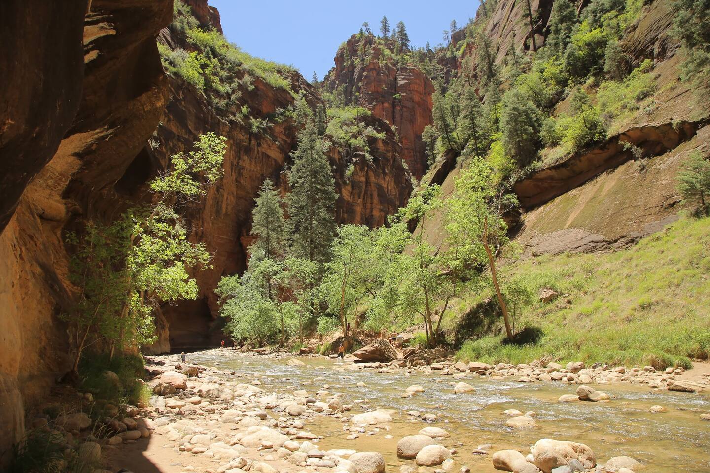
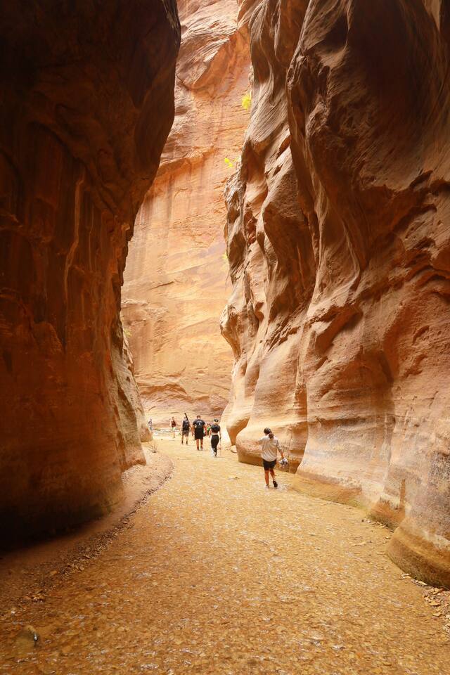
The Narrows is different — no permit needed for the bottom-up day hike from the Temple of Sinawava. You walk in from the shuttle stop, wade upstream through the Virgin River, and hike as far as your legs and water temperature allow. You'll want canyoneering shoes with sticky rubber, or rent the neoprene socks-and-staff kit from outfitters in Springdale. In summer the water is pleasant. In March and November, it is not.
Kolob: The Part Nobody Visits
The Kolob Canyons section of Zion is a 45-minute drive northwest of the main canyon, accessed off I-15 near Cedar City. The visitor density difference is dramatic — you can have the Taylor Creek Middle Fork trail nearly to yourself on a Saturday in May, hiking into a box canyon flanked by the same red Navajo sandstone, with a fraction of the main canyon crowd.
Kolob Terrace Road runs from Virgin (a tiny town off Highway 9) north into the high plateau, past Lava Point and the Kolob Reservoir. You're above the canyon rim here, in open ponderosa country, looking back down into the park from above. There's a primitive campground at Lava Point that requires a backcountry permit and is one of the cooler places to sleep in Utah.
Kanarra Creek: The Slot Canyon Most Zion Visitors Miss
An hour from Springdale, in the town of Kanarraville, there's a canyon that doesn't make most itineraries. Kanarra Creek is a short slot canyon with two ladder climbs and cold water — not as dramatic as Antelope Canyon, not as crowded. Permits are required and limited to 150 people per day, booked directly through the town of Kanarraville (kanarravilleut.com — not NPS, not recreation.gov). Book early.
You'll get wet. Bring a dry bag for your phone. Most people are in and out in three hours, making it a natural morning stop en route between Zion and the east.
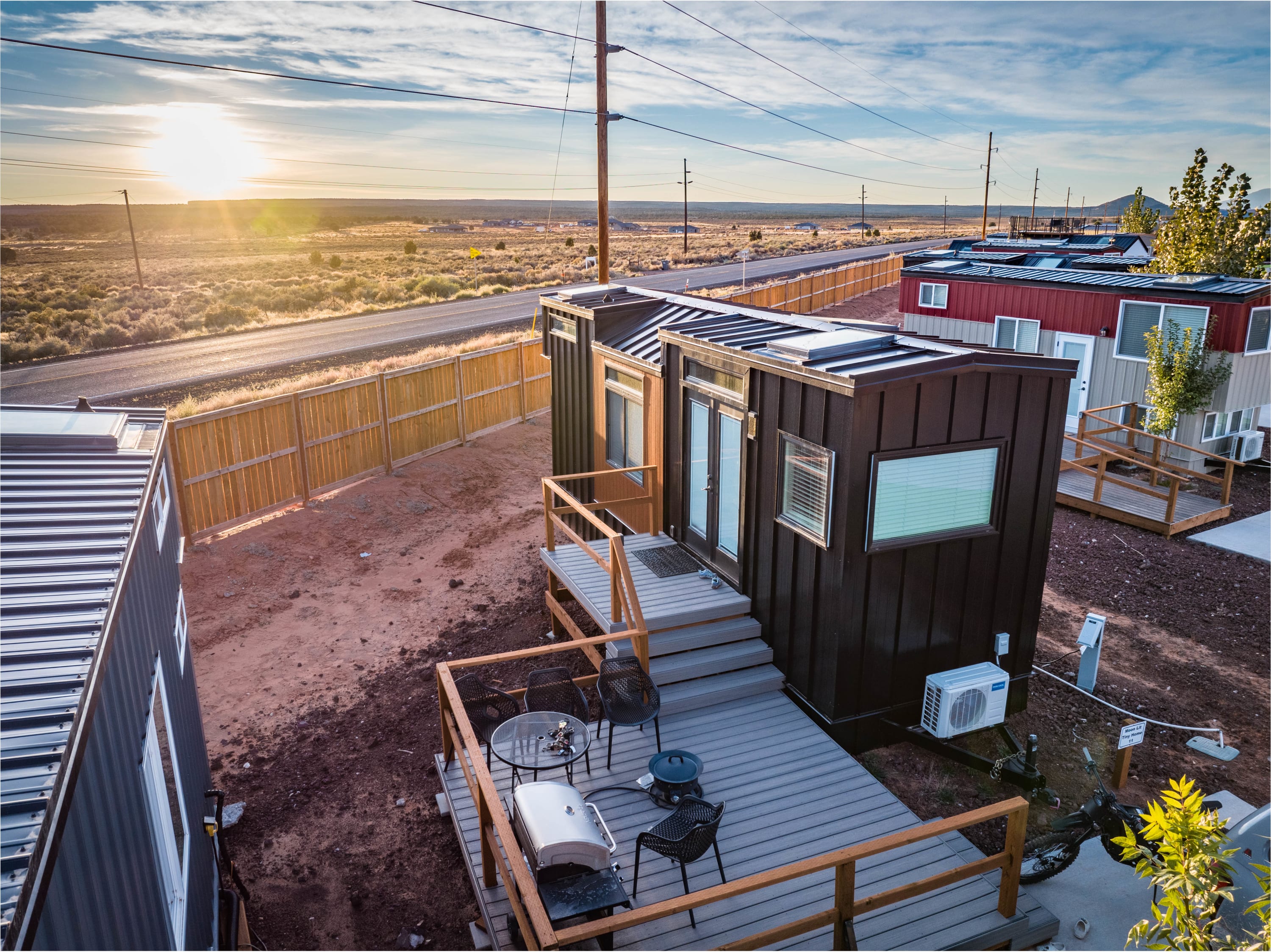
La Verkin and Hurricane: The Smarter Base
Springdale is the obvious choice. It's also the most expensive, most crowded, and least useful if you want to range beyond Zion. La Verkin (about 25–30 minutes from the park's west gate) and Hurricane (30–35 minutes) put you close to the park entrance at a fraction of the price — and they're well-positioned for Snow Canyon, Gooseberry Mesa mountain biking, and the broader Washington County landscape.
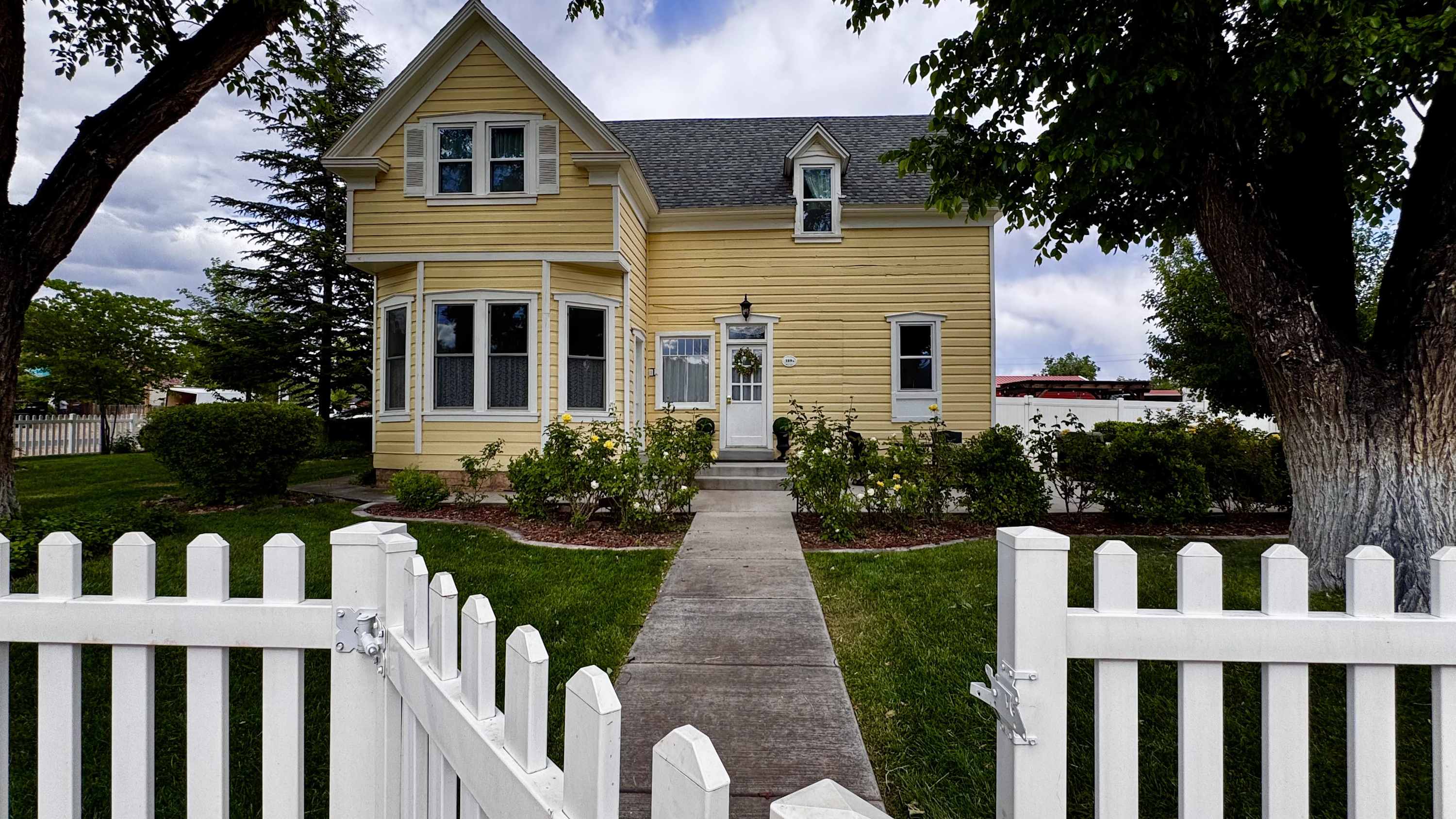
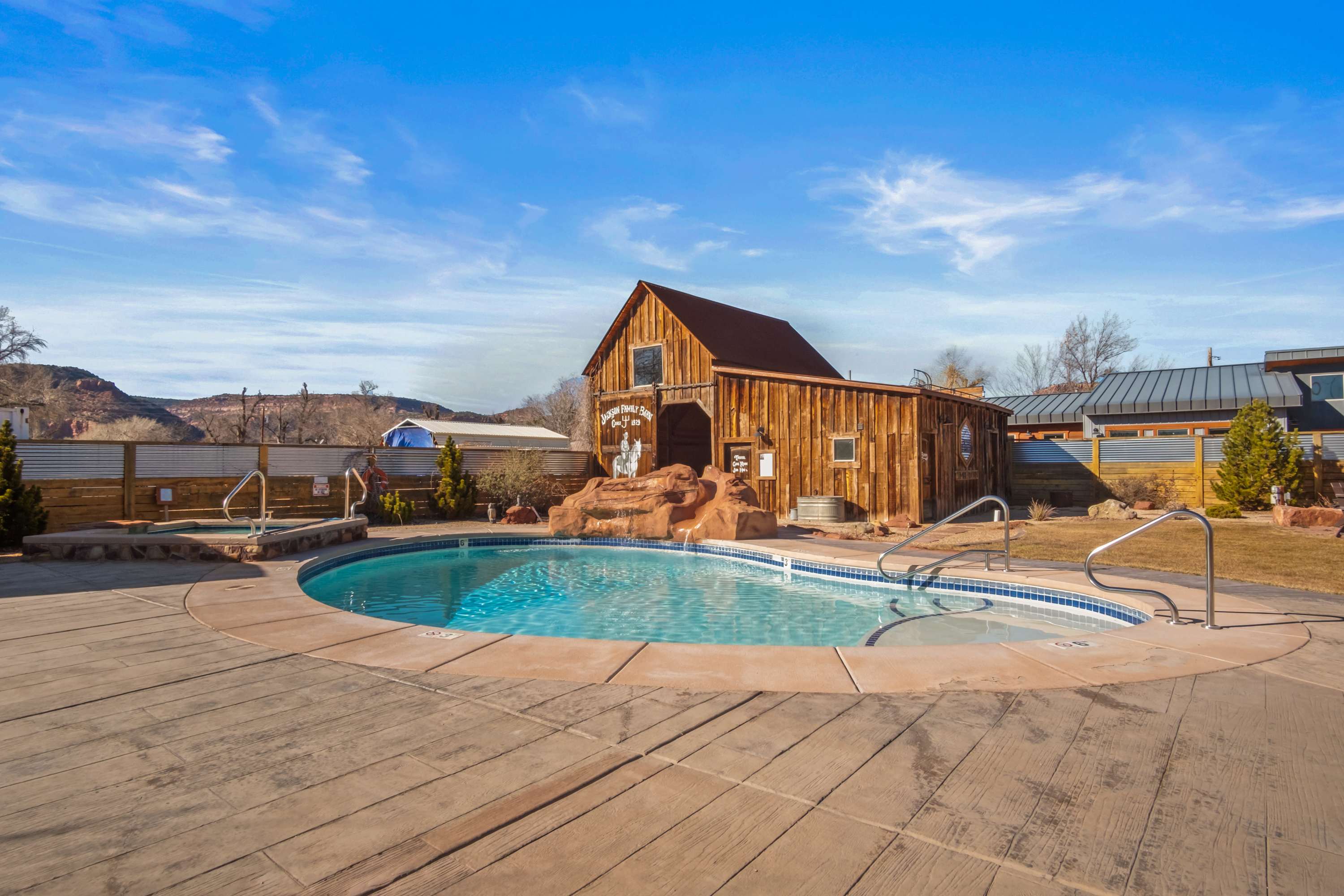
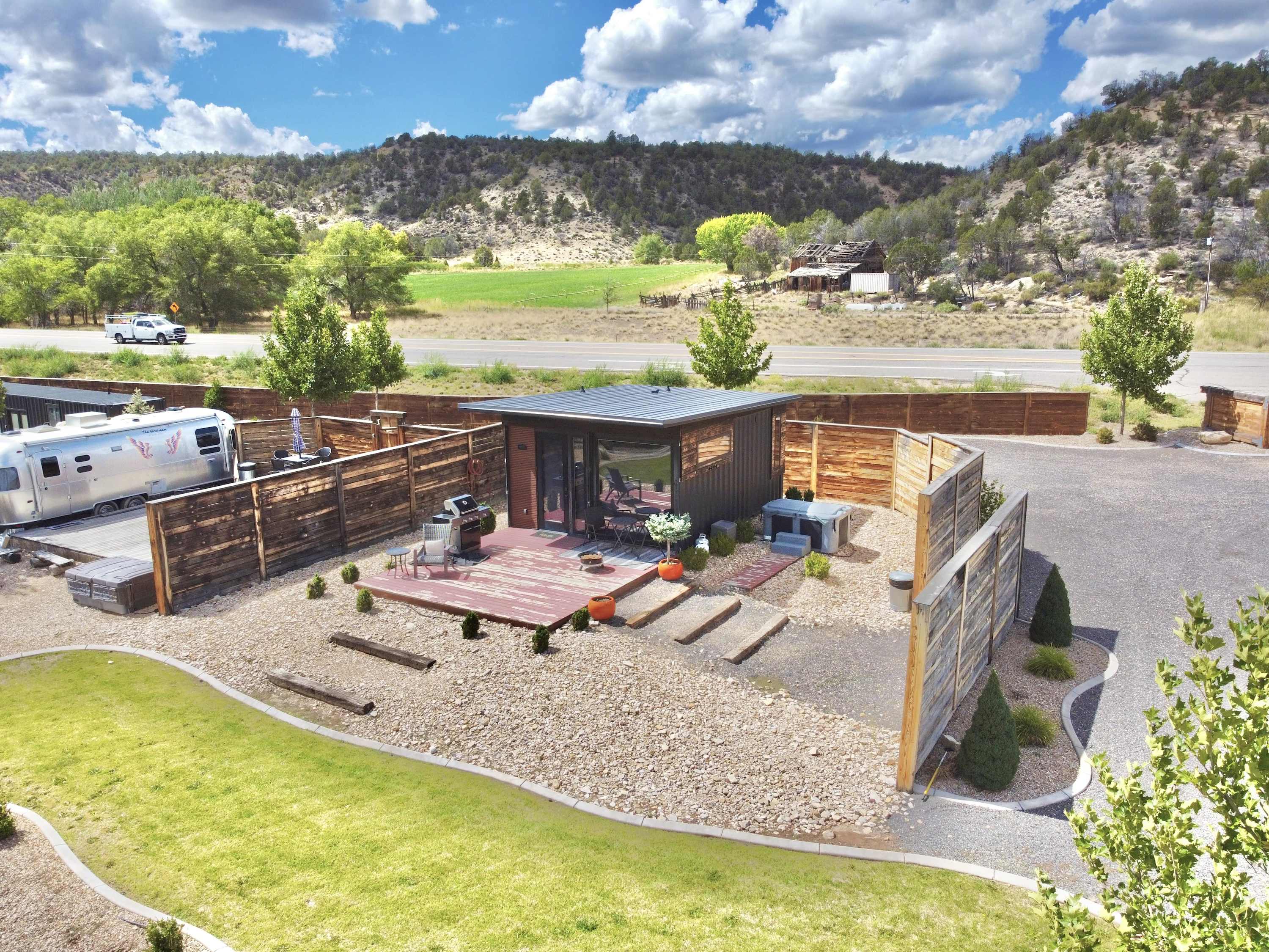
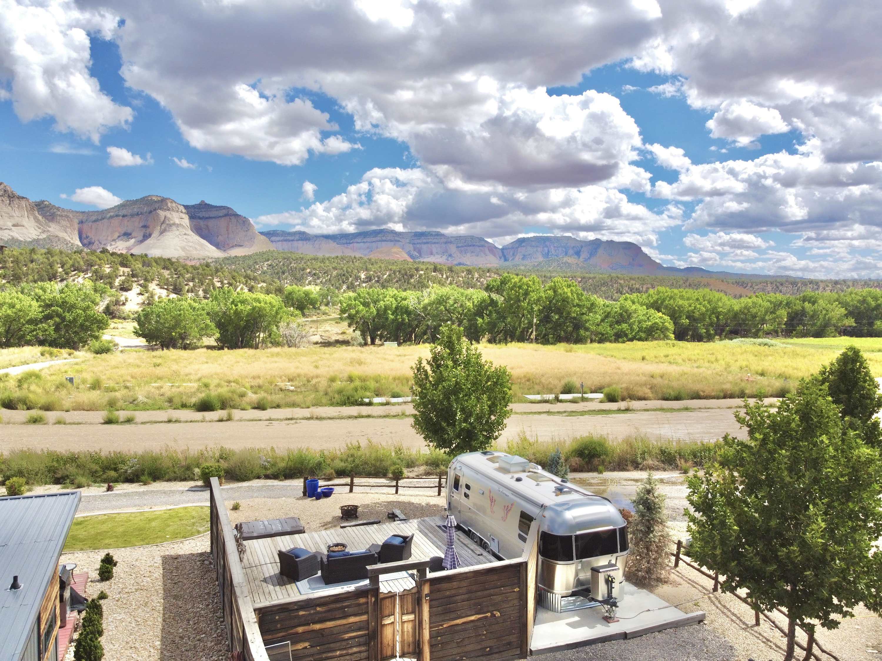
Hosts in La Verkin consistently note their proximity to the park without the Springdale premium: the 1924 Western Farmhouse on the edge of town is a 25-minute drive to the Zion visitor center and sits at the foot of the red rock plateau, with a spa pool and acreage that makes it an actual retreat rather than a crash pad.
Kanab: The Multi-Park Hub
If Zion is your anchor but you want Bryce Canyon, the North Rim, or Lake Powell in the same trip, Kanab is where you stage from. It sits at a convergence that no other town matches: Zion 40 minutes north, Bryce Canyon 80 minutes northeast, Grand Canyon North Rim 80 minutes south, Lake Powell 90 minutes east, Coral Pink Sand Dunes 20 minutes west.
The town itself has grown beyond its "Little Hollywood" western-film history. Main Street now has actual restaurants, a handful of good coffee spots, and a small-town energy that Springdale — which has effectively become a theme-park entrance — doesn't. Best Friends Animal Sanctuary (the country's largest) is based here; it's worth a visit on its own terms.
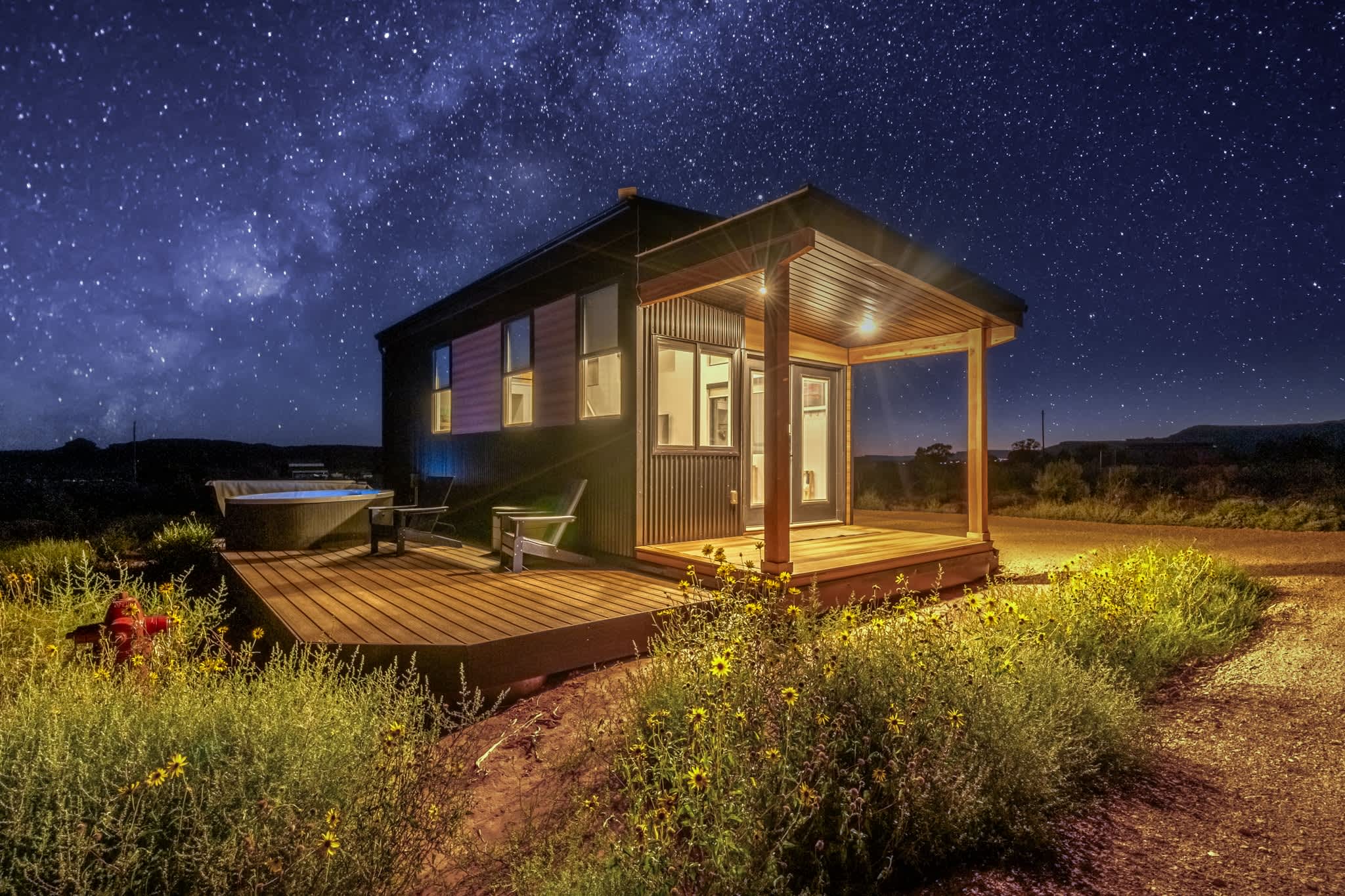
Kanab also has some of the best dark skies in the region. Multiple hosts mention it specifically — the Vermillion Cliffs to the south absorb almost no light pollution, and the elevation means clear, dry air most nights.
The Confluence Park Swimming Hole
On Highway 89 between Kanab and Page, the Paria River meets the main canyon wash at a spot locals call Confluence Park — a sandy-bottomed swimming hole with red walls on two sides and almost no tourist presence. The Paria River corridor here also leads toward the Wave (Coyote Buttes North) trailhead, which requires its own BLM lottery. The lower Paria narrows are hikeable without permits and genuinely impressive.
Saint George and Snow Canyon
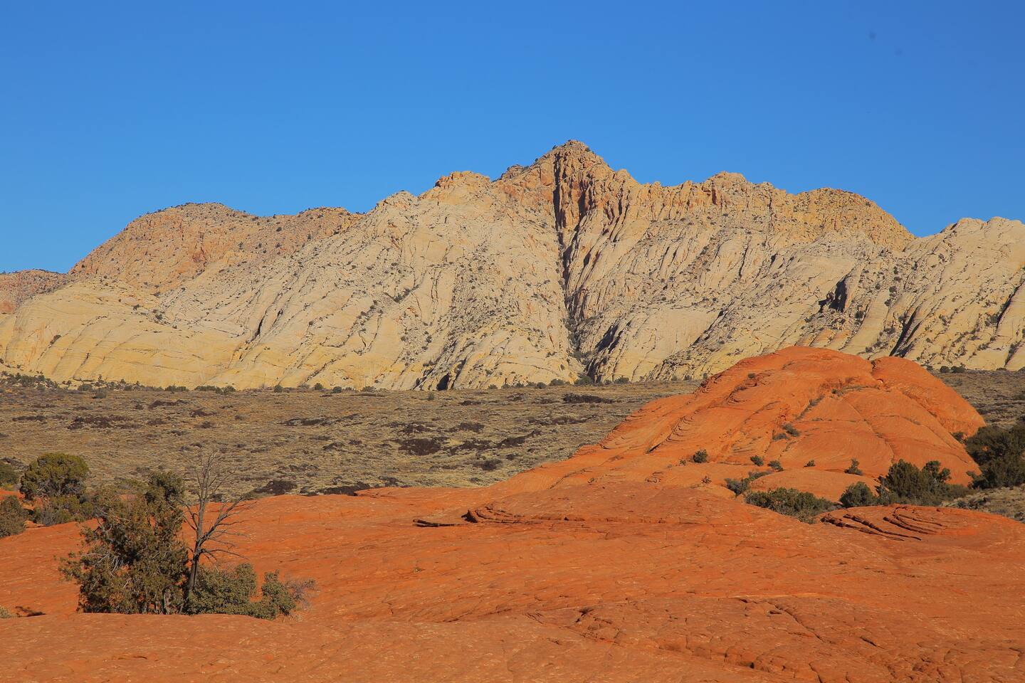
Going west toward St. George opens a different gear entirely. Snow Canyon State Park, tucked against the edge of the St. George metro, is often described by local hosts as "Zion without the crowds" — Navajo sandstone, lava tubes, petrified sand dunes, short hikes. That's accurate enough.
Ivins (10 minutes west of St. George) is a quieter base for Snow Canyon access. Gooseberry Mesa, accessed from Virgin, is one of the best mountain biking trails in Utah and something the 1924 farmhouse hosts specifically call out for guests who want an alternative to hiking.
What to Know Before You Go
Shuttle logistics inside the park: Private vehicles cannot drive the main Zion Canyon Scenic Drive from April through October. Park at the visitor center and take the free shuttle to all trailheads. In peak season, lots fill by 8am. Arrive before 7am or use the park-and-ride from Springdale.
The park entrance fee is $35/vehicle for 7 days. The America the Beautiful pass ($80/year) covers Zion and every other national park — worth it if you're combining parks, which from either La Verkin or Kanab you almost certainly will.
Water in the Narrows — check current conditions at the visitor center that morning. Spring snowmelt can raise levels fast. Rangers redirect visitors when it's not safe.
Cell service in the park is thin or nonexistent. Download offline maps before you drive through the tunnel.
Find your base in Southern Utah — browse stays indexed by CielStay.
Search stays on CielStay →Frequently asked questions
When is the best time to visit Zion National Park?
Spring (March–May) and fall (September–November) are ideal: temperatures are mild (50–85°F), crowds are manageable, and the Narrows flows at its most hikeable. Summer brings extreme heat (100°F+) and peak shuttle congestion. Winter offers solitude and ice formations in the Narrows but requires microspikes and the shuttle schedule is reduced.
Do I need a permit to hike The Narrows at Zion?
The bottom-up Narrows hike from the Temple of Sinawava does not require a permit. Top-down hikes from Chamberlain's Ranch do require a permit, released on recreation.gov 3 months in advance. Shuttle reservations for the main canyon road are required spring through fall and sell out quickly on peak weekends.
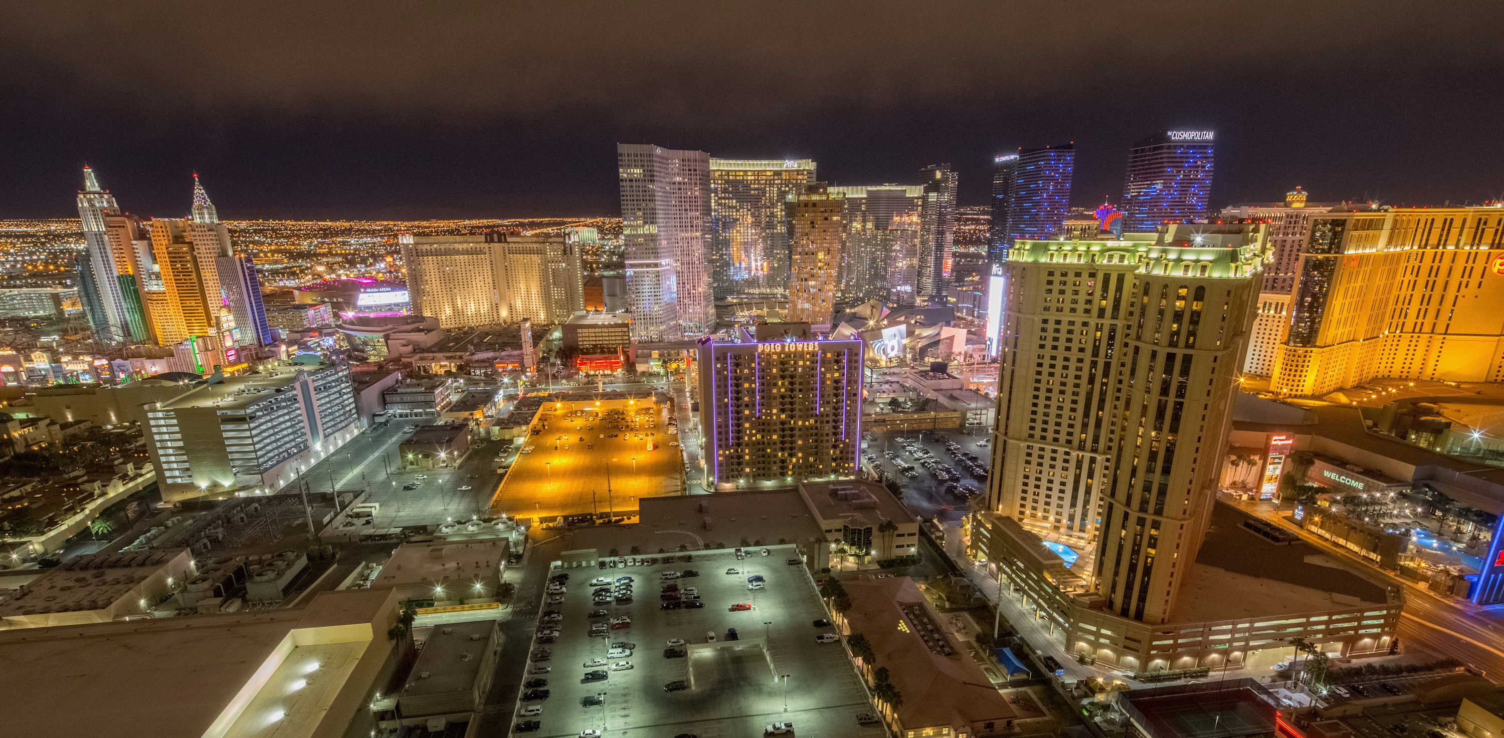
How far is Zion National Park from Las Vegas?
Zion is about 160 miles from Las Vegas — roughly 2.5 hours north on I-15 through St. George. Many visitors combine both destinations in a single trip. Staying in Springdale (the town immediately outside the south entrance) lets you be on trail before shuttle crowds build, which is a significant advantage over day trips from Las Vegas.
What is Angels Landing and how do I get a permit?
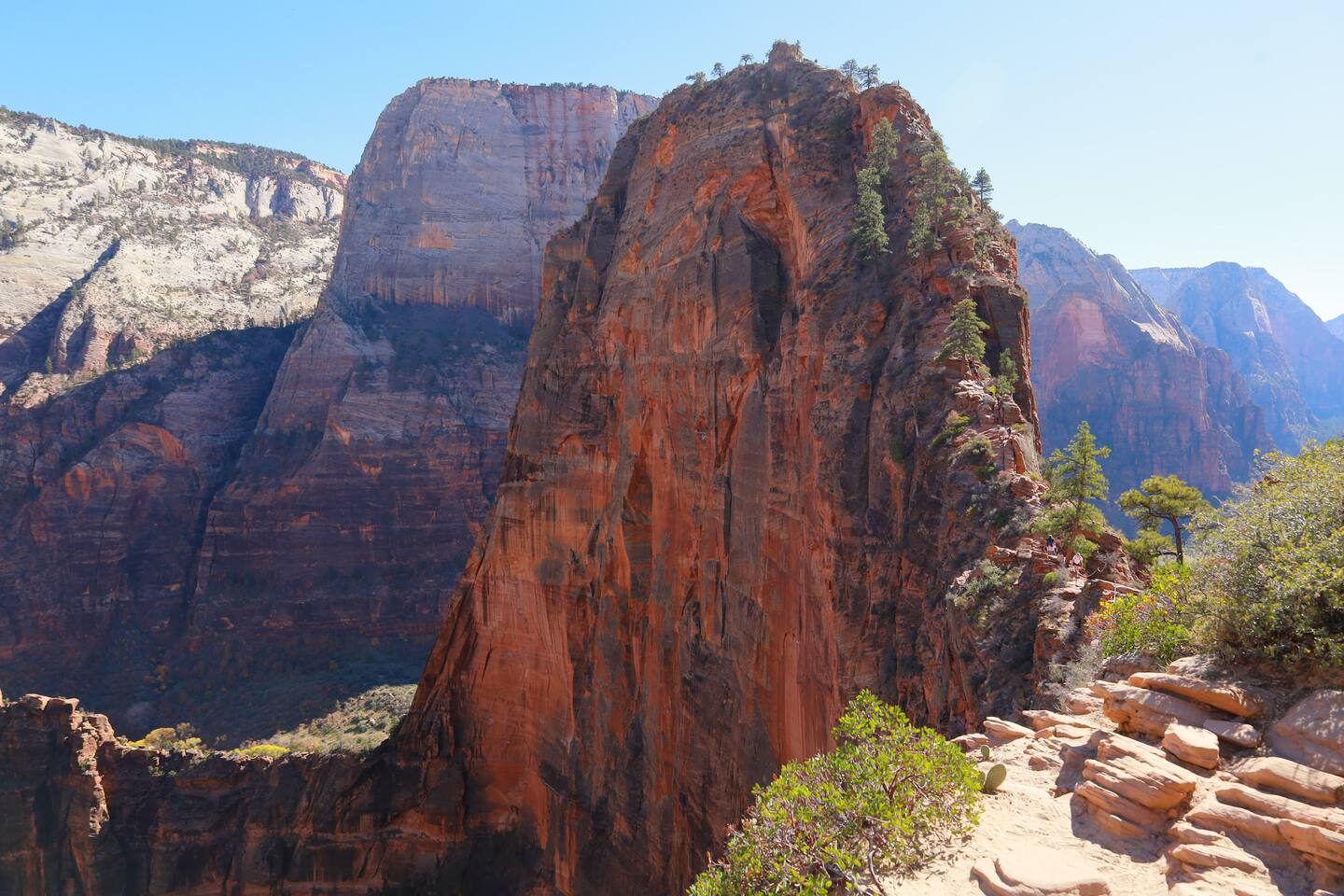
Angels Landing is a 5.4-mile roundtrip hike climbing 1,488 feet to a narrow sandstone spine above Zion Canyon — the final half-mile uses chains bolted into the rock. A permit is required for the chain section and is released via a seasonal lottery on recreation.gov. Competition is high; apply for multiple date windows to improve your odds.
Stays near this guide
Top-rated independent stays in the region, ranked by CielStay authenticity score.
Try a search
Searches inspired by this guide — describe the vibe you want.
More guides


Nearby landmarks & attractions
Key destinations and attractions in the Southern Utah area.
Zion National Park ↗ Maps
The anchor of southern Utah — The Narrows, Angels Landing, and 200 miles of trails.
Kanab ↗ Maps
Gateway town with easy access to Zion, Bryce Canyon, and the Grand Staircase.
Bryce Canyon National Park ↗ Maps
Hoodoo country — otherworldly red-orange spires and the highest-elevation park in Utah.
This guide was assembled from the local knowledge of hosts with properties throughout Southern Utah, as indexed by CielStay. The descriptions of restaurants, trails, swimming holes, and local tips reflect what hosts share with guests in their listings — not the observations of a travel journalist or guest reviewer. Photos are sourced from host listing images and are credited to their respective listings. Information about permits and trail conditions may change; always verify with official sources before your trip.