The Island
Hilton Head Island is a 42-square-mile barrier island at the southern end of South Carolina's Atlantic coast, accessible by bridge via US-278 from the mainland and from the air through Hilton Head Island Airport (HHH) or the larger Savannah/Hilton Head International Airport (SAV) on the mainland. The island is 12 miles long and up to 5 miles wide, with 13 miles of ocean beachfront facing east toward the Atlantic and a western margin of tidal creeks, salt marshes, and lagoons fronting Port Royal Sound and Calibogue Sound.
What distinguishes the island from most resort coastlines is the tree canopy. Development regulations have required since the earliest resort planning that rooftops stay below the live oaks, that commercial signage remain understated, and that the natural canopy be preserved along roads and within communities. On US-278 approaching the island, you drive through a forest before you arrive at a beach. Palmettos and oaks arch overhead, Spanish moss trails from the branches, and the resort infrastructure — present throughout — is not what registers first.
The island is organized into a series of private plantation communities, each with a gated entrance, internal amenities including golf courses and pool complexes, and private beach access corridors. The term "plantation" references the antebellum history of the Sea Islands, which were centers of Sea Island cotton production before the Civil War. The largest and most architecturally significant of these communities is Sea Pines, occupying the southwestern tip of the island.
Sea Pines and Harbour Town
Sea Pines Resort was developed beginning in 1957 by Charles Fraser, who required that 25 percent of the 5,200-acre parcel be preserved as open space — a mandate that set the template for the island's subsequent development philosophy. The community's center is Harbour Town, a marina village built in 1969 at the island's southwestern tip on Calibogue Sound.
Harbour Town is built around a small yacht basin and anchored visually by the Harbour Town Lighthouse — a red-and-white striped structure that has become the island's most recognizable symbol. The lighthouse is open to visitors and climbable; from the top, Calibogue Sound and the tidal marshes of Daufuskie Island extend to the south. The marina plaza surrounding the lighthouse offers specialty shops and restaurants, described by Sea Pines hosts as a destination for fresh coffee and freshly caught seafood within a quick bike ride from the community's interior neighborhoods.
Harbour Town Golf Links, opened in 1969 and designed by Pete Dye with input from Jack Nicklaus, hosts the RBC Heritage — an annual PGA Tour event played the week after the Masters. The course is one of the most respected on the Tour: a low, coastal routing through marshes and under live oaks, with the par-4 18th hole finishing along Calibogue Sound in view of the lighthouse. The Heritage's week each April draws significant crowds to the island and marks one of the most scenic settings in professional golf.
The Smith Stearns Tennis Academy within Sea Pines offers instruction for visiting players across all skill levels. The community's lagoon and creek system supports marinas and boat rentals amid the rivers and sounds; hosts consistently note the access to fishing, kayaking, and on-water activities within the Sea Pines communities.
Beaches and the Coligny Corridor
Hilton Head's Atlantic-facing beaches are wide and hard-packed at low tide — the tidal flat extends far from the dune line, making the firm sand practical for cycling, jogging, and family beach days. County ordinance restricts direct commercial development of the oceanfront; there are no high-rises or chain restaurants fronting the beach.
Coligny Beach Park is the island's most accessible public beach, near the southern approach to Sea Pines. Coligny Plaza — described by Shipyard Plantation hosts as one mile from mid-island accommodations — provides the island's most concentrated commercial zone in direct beach proximity: dining, ice cream, bike rentals, and surf shops. Celebration Park, adjacent to the plaza, adds outdoor entertainment. For visitors new to the island, Coligny is the most logical entry point to the beach.
North Forest Beach, north of Coligny along the oceanfront, is an older residential district. Homes sit three rows back from the dune line; public parking access is intentionally limited, which hosts describe as contributing to the quieter atmosphere. The beach itself is contiguous with Coligny Beach but approached via private neighborhood paths.
South Beach, within Sea Pines at the island's southern tip, puts guests near the Harbour Town marina and Tower Beach. Hosts of lagoon-front properties in this area describe a short walk across the street to Tower Beach or a walk of less than a quarter-mile to South Beach each morning, with coastal-contemporary homes positioned to maximize water views on return.
The Plantation Communities
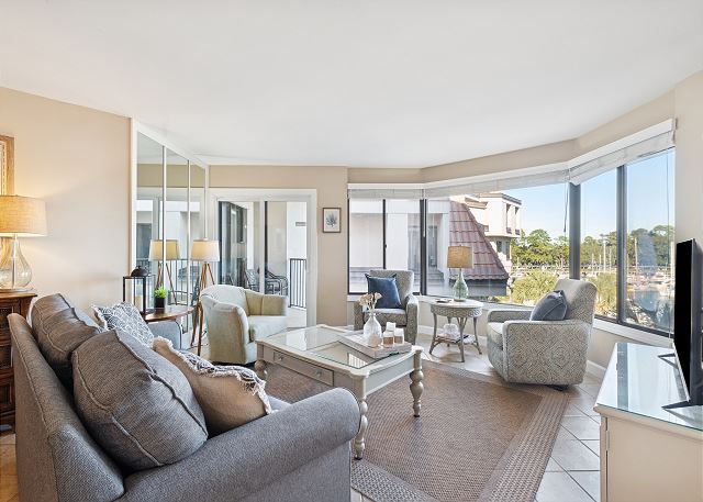
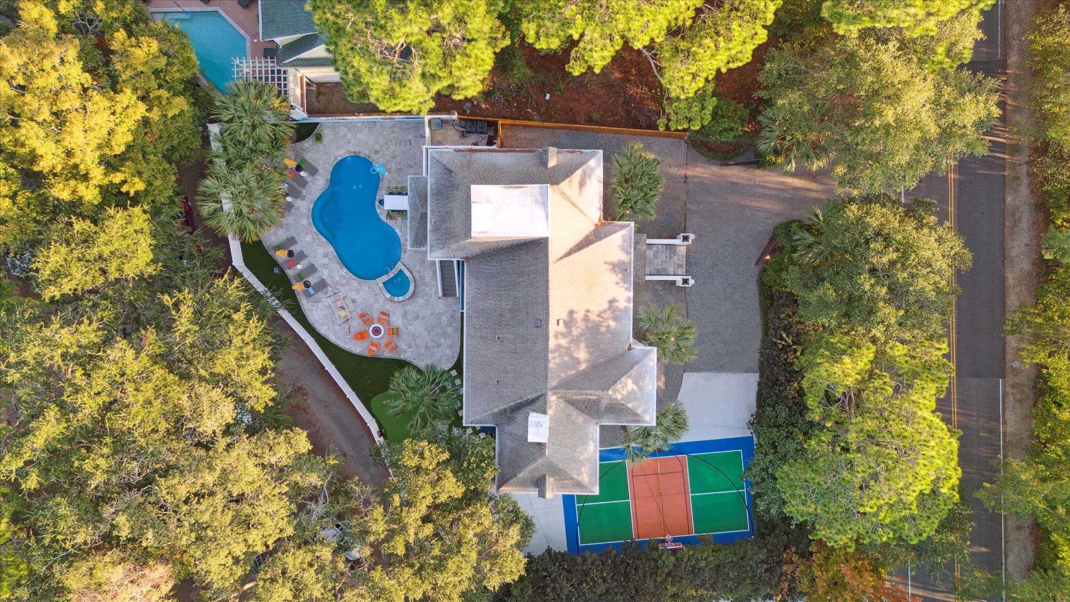
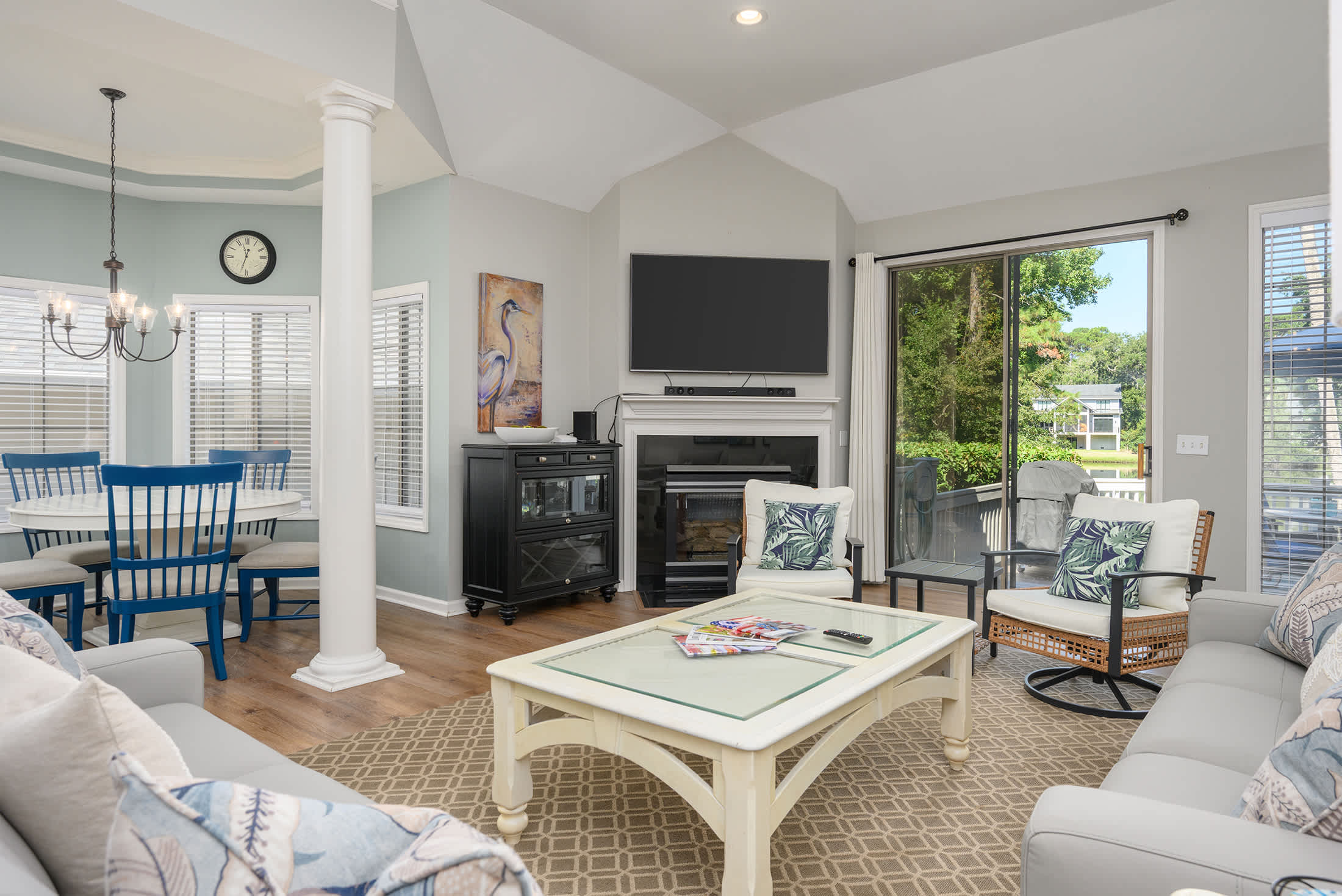
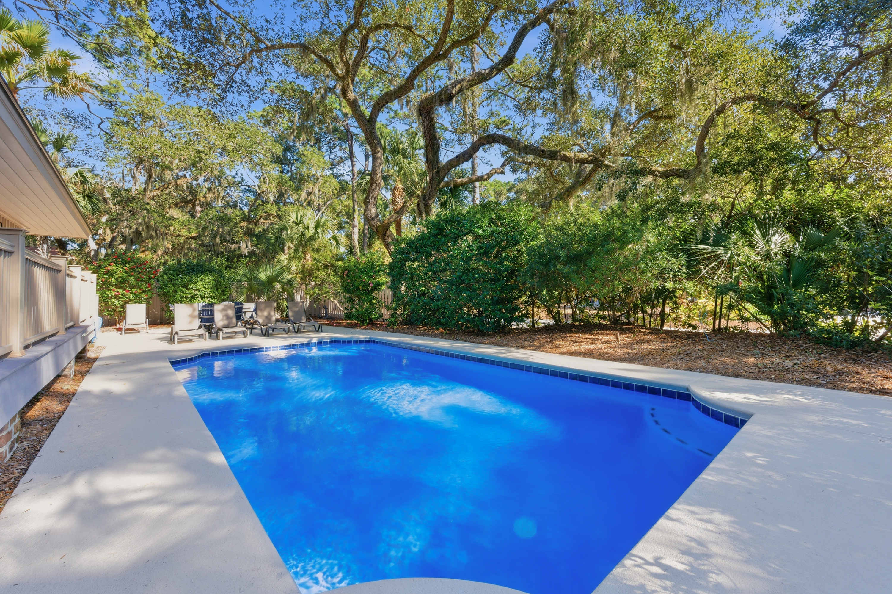
Shipyard Plantation, mid-island, is built around a 27-hole championship golf course and a mix of villas, townhomes, and condominiums. Community amenities described by Windward Village hosts include a seasonal saltwater pool, shared hot tub, and private beach access corridors that allow guests to reach the sand without navigating public access points. The internal trail network connects to the island's wider bike path system.
Near Shipyard, the Village at Wexford provides boutique shopping and dining for mid-island visitors. Pirate's Island Adventure Golf — described by hosts as less than four miles from Shipyard properties — adds a family entertainment option. The Harbour Town Lighthouse is accessible from Shipyard in less than five miles per host descriptions, making it a viable afternoon destination from mid-island accommodations.
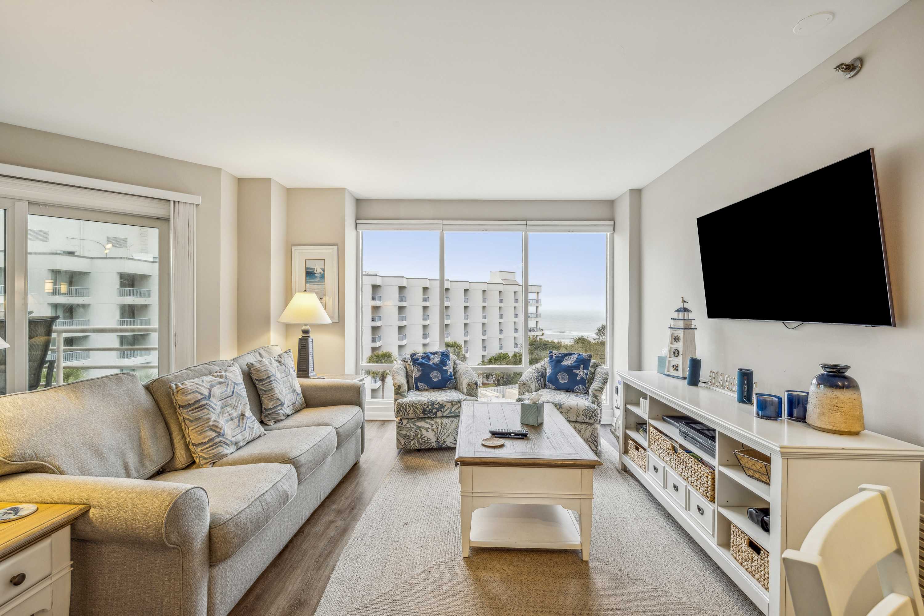
Palmetto Dunes, also mid-island, centers on a marina at Shelter Cove with waterfront dining, boat rentals, and shopping. Three golf courses operate within the community, including the Robert Trent Jones Golf Course. Hosts of lagoon-front homes in Palmetto Dunes describe properties directly alongside the fairways, with direct water and course views from balconies and porches. The community sits three and a half miles from the marina at Shelter Cove per host descriptions.
A Lowcountry Ecosystem
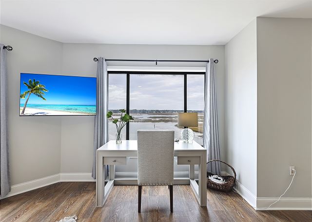
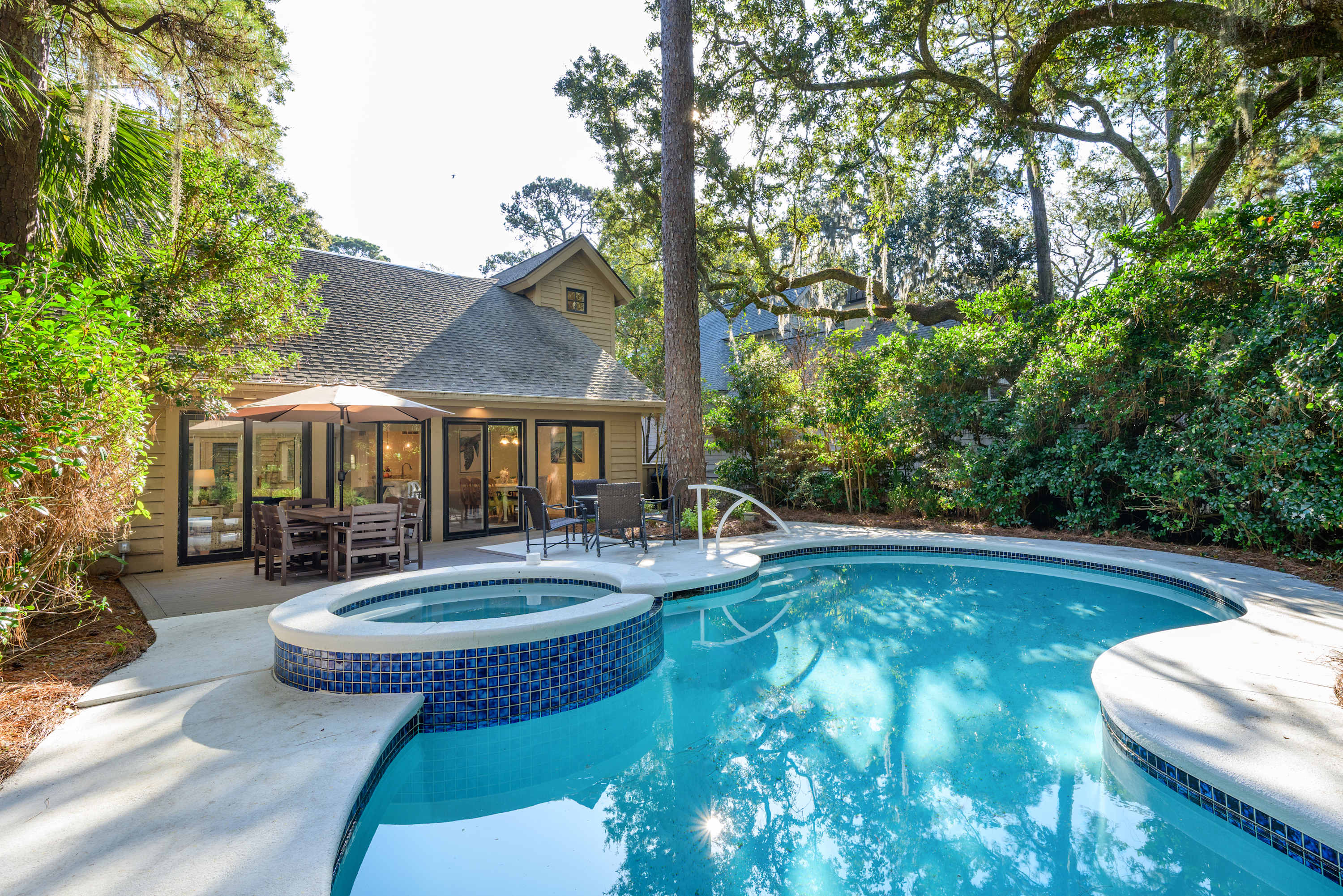
The interior lagoon network is the ecological feature that most distinguishes Hilton Head from other barrier island resorts. The island's creeks and freshwater lagoons connect through marshland to the Intracoastal Waterway and the coastal sounds. Most vacation rental communities are organized around these water features — many properties sit directly on lagoon edges, with screened porches overlooking still water where wildlife gathers at dawn and dusk.
Alligators are native residents of the lagoon system throughout the island; they are managed but not removed, and signage throughout the communities instructs guests not to approach or feed them. White-tailed deer browse the roadsides at dawn and dusk. Loggerhead sea turtles nest on the Atlantic-facing beaches from May through August; nesting sites are marked and protected during the season. Bottle-nosed dolphins work the tidal creeks and nearshore waters and are regularly visible from kayaks and paddleboards rented through the marina complexes.
The paved bike trail network covers over 60 miles of the island's interior, connecting plantation communities, beach access points, and forested corridors between them. Hosts across all of the island's communities describe the network as a primary mode of on-island transportation — the practical alternative to driving for reaching Harbour Town, the beaches, or the natural areas between communities.
The Pinckney Island National Wildlife Refuge is located at the mainland approach to Hilton Head on US-278, just before the bridge to the island. The refuge preserves 4,000 acres of salt marsh, maritime forest, and freshwater ponds; bikes are permitted on the main trail system. The bird concentrations — great blue herons, egrets, roseate spoonbills, painted buntings — are substantial throughout the year, and the refuge offers an undeveloped contrast to the managed resort ecosystems inside the island's plantation gates.
History: From Sea Island to Resort
Hilton Head Island's layered history predates the resort era by centuries. The island was a center of Sea Island cotton production in the antebellum period, worked largely by enslaved people of West African descent who developed the Gullah Geechee cultural tradition — a distinct language, cuisine, craft practice, and oral history that persisted on the Sea Islands of South Carolina and Georgia long after the Civil War.
In November 1861, Union naval forces captured the island at the Battle of Port Royal. The Confederate planters fled; the formerly enslaved people who remained organized Mitchelville — one of the first self-governing freedmen's communities in the United States, established in 1862 on the island's north end, with an elected government and a functioning school system operating before the war's end. A park at the Mitchelville site on the north end of the island marks the history.
The Gullah Geechee cultural tradition is the deepest layer of the island's identity. It is most visible today in the Gullah Museum of Hilton Head Island, in the communities of the surrounding coastal South Carolina landscape, and in the annual Gullah Celebration held in February.
The resort development that began when the first bridge opened in 1956 transformed the island's demographics and landscape, but the cultural history is part of understanding what Hilton Head Island actually is.
Getting There and Getting Around
Most visitors arrive through Savannah/Hilton Head International Airport (SAV) on the mainland. The Hilton Head Island Airport (HHH) has scheduled service from a smaller number of East Coast cities and is more convenient for those who can arrange a direct flight.
On the island, bicycles are the most efficient and characterful mode of transportation for navigating Sea Pines and the interior plantation communities. The 60-mile paved trail network covers the resort zones, beach access corridors, and forested interior. Bikes are available for rent from multiple locations on the island, and hosts at properties throughout describe the trail system as the primary way to move between communities.
Cars are practical for the longer north-south runs — from North Forest Beach to South Beach spans roughly 12 miles — and for reaching mainland destinations in Bluffton or beyond. The island's gated community structure means that resort amenities, golf, and private beach access require either a community access pass or accommodation within the community. Planning which plantation area to stay in — Sea Pines for Harbour Town and golf access, Shipyard for mid-island convenience, Palmetto Dunes for marina and lagoon-front living — is the first meaningful decision in organizing a Hilton Head trip.
Find your base in Hilton Head Island, SC — browse stays indexed by CielStay.
Search stays on CielStay →Frequently asked questions
When is the best time to visit Hilton Head Island?
Spring (March through May) and fall (September through November) offer the best combination of weather and crowd levels. Spring brings azalea season, temperatures in the 70s, and the RBC Heritage golf tournament at Harbour Town Golf Links each April. Summer is peak beach season but brings heat in the high 80s to low 90s, high humidity, and afternoon thunderstorms common July through August. Fall is quieter with comfortable temperatures and excellent conditions for cycling the trail network and lagoon kayaking.
What is Sea Pines Resort and can anyone visit?
Sea Pines is a private master-planned resort community occupying the southwestern tip of Hilton Head Island, home to Harbour Town, the Harbour Town Golf Links, the Smith Stearns Tennis Academy, and the iconic red-and-white Harbour Town Lighthouse. Day visitors can access Sea Pines by paying a gate fee at the entrance; guests staying at properties within Sea Pines have full community access included with their accommodation. The community contains its own network of paved bike trails, lagoons, and beach access corridors.
Is Hilton Head Island good for families with children?
Yes. The wide, hard-packed Atlantic beaches are accessible and safe for young children. The 60-mile paved bike trail network covers most of the island and is widely used by families. Coligny Beach Park near Coligny Plaza — within walking distance of dining and shopping — is the most family-oriented beach access point on the island. Hosts near mid-island communities note Pirate's Island Adventure Golf within a few miles, and the island's lagoon system provides calm-water kayaking accessible to children.
What is the Gullah Geechee heritage of Hilton Head Island?
The Gullah Geechee are descendants of enslaved West Africans who worked the Sea Island rice and cotton plantations of coastal South Carolina and Georgia and maintained a distinct language, cuisine, craft tradition, and oral history on the barrier islands. Hilton Head was a major Gullah Geechee community before resort development began in the 1950s. In 1862, following Union occupation of the island, formerly enslaved residents organized Mitchelville — one of the first self-governing freedmen's communities in the United States — on the island's north end. The Gullah Geechee Cultural Heritage Corridor, a National Heritage Area, extends along the coast from southern North Carolina through northern Florida.
Stays near this guide
Top-rated independent stays in the region, ranked by CielStay authenticity score.
Try a search
Searches inspired by this guide — describe the vibe you want.
More guides


Nearby landmarks & attractions
Key destinations and attractions in the Hilton Head Island, SC area.
Hilton Head Island ↗ Maps
12 miles of beach, 23 golf courses, and a carefully planned resort landscape that has made Hilton Head one of the most popular family beach destinations on the East Coast.
Harbour Town ↗ Maps
The island's iconic marina — red and white lighthouse, yacht basin, boutique shops, and the RBC Heritage golf tournament home.
Sea Pines Forest Preserve ↗ Maps
605 acres of maritime forest with an ancient Indian shell ring — walking trails and wildlife observation in the heart of Sea Pines Resort.
This guide was assembled from the local knowledge of hosts with properties throughout Hilton Head Island, SC, as indexed by CielStay. The descriptions of restaurants, trails, swimming holes, and local tips reflect what hosts share with guests in their listings — not the observations of a travel journalist or guest reviewer. Photos are sourced from host listing images and are credited to their respective listings. Information about permits and trail conditions may change; always verify with official sources before your trip.