The Edge of Texas
Terlingua sits at 2,507 feet in southwestern Brewster County — the largest county in Texas at 6,193 square miles, with a total population of around 9,000. The nearest city of any size is Alpine, 79 miles northeast. The nearest major airport is Midland, three hours away. This is not a destination you reach accidentally.
The town itself was a mercury (quicksilver) mining camp from the 1880s through the 1940s, operated primarily by Howard Perry's Chisos Mining Company, which at its peak employed 2,000 workers and produced more mercury than any single operation in the United States. When the mercury market collapsed after World War II, the company shuttered and the workers left. What remained is the Terlingua Ghost Town — Perry's mansion in ruins, the company store, adobe worker cottages in various stages of dissolution, a cemetery on a hill, and the church of San Vicente. About 78 people still live in and around the CDP.
It is also one of the most genuinely atmospheric places in the American Southwest. The ghost town's porch at sunset — specifically the porch at the Starlight Theatre (restaurant and bar in the old Chisos Mining Company building) — is one of the great human scenes in West Texas: musicians playing in the evening air, the Chisos Mountains in the background, the desert light doing things it only does at this latitude and elevation.

Big Bend National Park
Thirty minutes east of Terlingua: Big Bend National Park, 801,163 acres of Chihuahuan Desert, the Chisos Mountains rising to 7,825 feet at Emory Peak, and 118 miles of Rio Grande frontage forming the international border with Mexico. It received 574,000 visitors in 2023 — roughly one-seventh the visitation of Zion and one-tenth of the Grand Canyon — which means the trails are genuinely empty by comparison.
The park divides into three zones with completely different characters:
The Chisos Mountains: a sky island rising from the desert floor with ponderosa pine and Douglas fir at elevation, dramatic canyon hiking, and the famous Window View — a notch in the basin rim framing a perfect rectangle of desert and mountain beyond. The Lost Mine Trail is the best introduction to the high country: 4.8 miles round trip, 1,100 feet of gain, panoramic views from the ridgeline. The South Rim Trail is the full-day route that earns its reputation — 12+ miles, the entire park laid out below.
The Rio Grande: Santa Elena Canyon cuts 1,500 feet straight down through Mesa de Anguila, with the river at the bottom. You can paddle the canyon by canoe or kayak — multi-day trips through the Lower Canyons are among the most remote river runs in the continental US. Boquillas Canyon to the east is more accessible, with a short trail to the canyon mouth and a historic ferry crossing to the Mexican village of Boquillas del Carmen.
The Desert Floor: the broad Chihuahuan Desert basin between the mountains and the river, with the Mule Ears peaks, Tuff Canyon, and the remains of the old Castolon trading post. Summer temperatures exceed 110°F; spring (March–April) and fall (October–November) are the windows.

Dark Skies
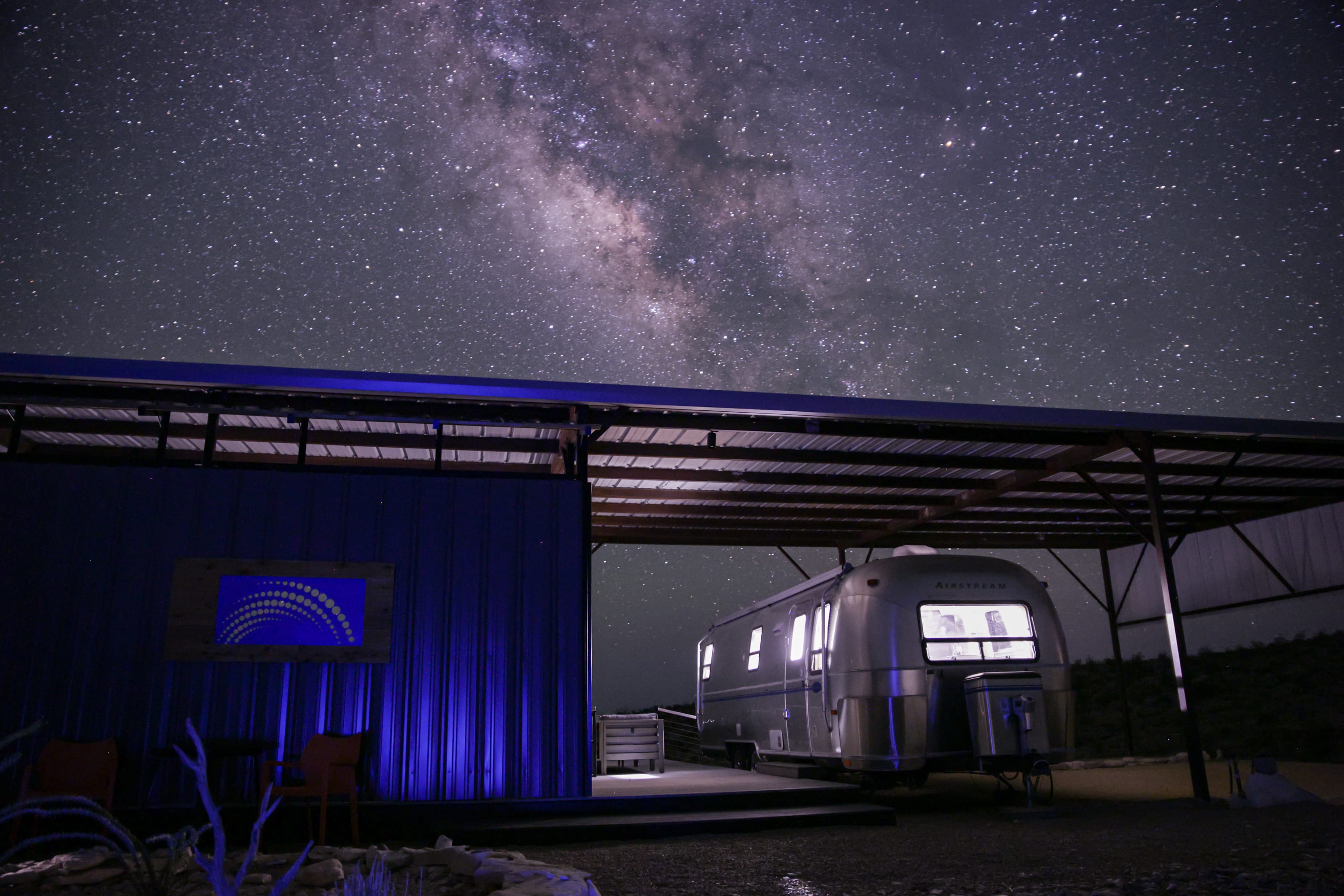
Brewster County has some of the darkest skies in the continental United States. The McDonald Observatory on Mount Locke, 110 miles northeast of Terlingua near Fort Davis, is the University of Texas research facility that publishes the dark sky maps confirming what anyone who spends a night here already knows: this is among the best naked-eye stargazing in North America. The Milky Way is visible as a structural feature of the sky — not a smear, but a galactic band with visible dust lanes and star-forming regions. Big Bend National Park itself was designated an International Dark Sky Park in 2012.
The best viewing windows are moonless nights from late summer through winter. The altitude (2,500+ feet), distance from any significant light dome (the nearest city exceeding 50,000 people is nearly 200 miles away), and the arid air combine into conditions that astrophotographers travel internationally to access.
Study Butte & Lajitas
Adjacent to Terlingua: Study Butte (locally pronounced "Stoody Beaut" — the correct way), a small settlement with gas stations, a grocery, and the turnoff to the park's west entrance. Lajitas, 17 miles west, is the Golf Resort development — a somewhat incongruous luxury resort in the desert with a landing strip and marina on the Rio Grande. The Lajitas Golf Resort is the farthest thing from Terlingua ghost town culture but it occupies the same remarkable landscape.
The Big Bend Ranch State Park, 311,000 acres west of Terlingua along the River Road (FM 170), is the largest state park in Texas and receives perhaps 5% of Big Bend National Park's visitation. It has primitive camping, 238 miles of unpaved road, slot canyons, volcanic formations, and no cell service. It is the version of Big Bend for people who want Big Bend without the crowds.
The Chili Cook-Off
The Terlingua International Chili Championship (and its rival, the Behind the Store Chili Cook-Off) happens the first Saturday of November every year. Two competing events, same weekend, same ghost town — a product of a 1977 chili politics split that has never healed and adds to Terlingua's reputation as a place that does things its own way. Combined attendance reaches tens of thousands in a county where the permanent population is measured in hundreds. It is one of the stranger cultural events in Texas, which is saying something.
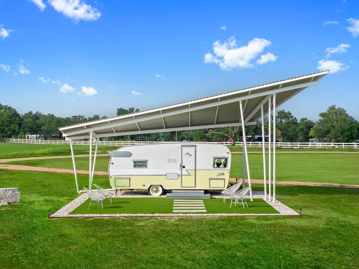
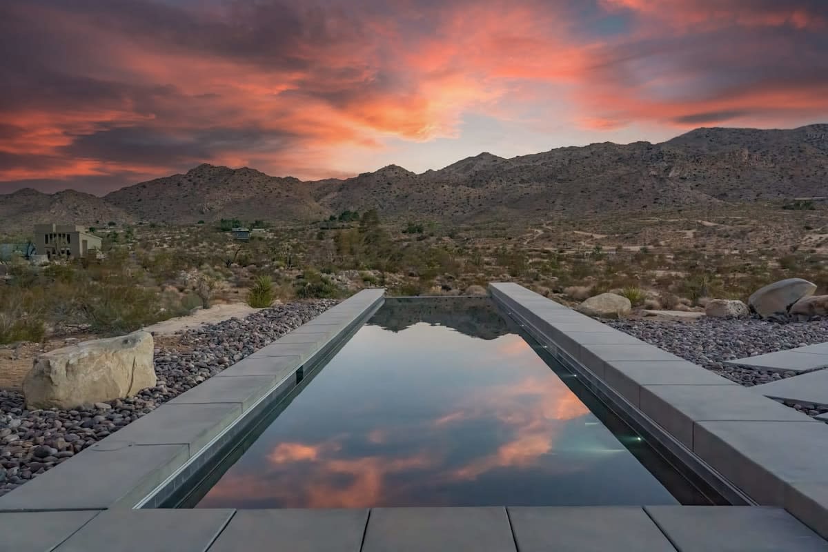
Find your base in Terlingua, TX — browse stays indexed by CielStay.
Search stays on CielStay →Frequently asked questions
How far is Terlingua from the nearest major city?
Terlingua is about 320 miles from San Antonio (4.5 hours) and 280 miles from El Paso (4 hours). There is no commercial air service nearby; Midland International (235 miles) and San Antonio are the practical fly-in gateways. The isolation is fundamental to the place — the nearest pharmacy is in Alpine, 80 miles north.
When is the best time to visit Big Bend National Park?
October through April has the best desert conditions: daytime temperatures of 60–80°F, minimal precipitation, and clear skies. Summer is extreme — 110°F+ in the Chihuahuan Desert lowlands and 90°F+ in the Chisos Basin at 5,400 feet. Winter nights in the Chisos can drop below freezing and occasionally produce snow, which is striking against the desert rock.
What is the Terlingua chili cook-off?
The Terlingua International Chili Championship has been held annually in early November since 1967, drawing thousands to the ghost town from across Texas. There are actually two competing cook-offs — the Original Terlingua International Frank X. Tolbert–Wick Fowler Memorial Championship Chili Cookoff and the CASI Terlingua International Chili Championship — both held the same weekend on adjacent grounds, both claiming to be the original.
Is Big Bend good for stargazing?
Big Bend National Park is one of the least light-polluted national parks in the lower 48 states — it was designated an International Dark Sky Park by the IDA in 2012. The Chisos Basin at 5,400 feet, with 180-degree horizon views, is particularly good for Milky Way photography between May and October. The park regularly hosts ranger-led astronomy programs at the Chisos Basin amphitheater.
Stays near this guide
Top-rated independent stays in the region, ranked by CielStay authenticity score.
Try a search
Searches inspired by this guide — describe the vibe you want.
More guides

Nearby landmarks & attractions
Key destinations and attractions in the Terlingua, TX area.
Big Bend National Park ↗ Maps
Remote Chihuahuan Desert park at the Rio Grande — canyons, hot springs, and some of the darkest skies in the US.
Terlingua Ghost Town ↗ Maps
Former mercury mining town turned artists' community — the most distinctive village in Texas.
Rio Grande Village ↗ Maps
River access point within Big Bend — hot spring soaks, birdwatching, and Mexico views.
This guide was assembled from the local knowledge of hosts with properties throughout Terlingua, TX, as indexed by CielStay. The descriptions of restaurants, trails, swimming holes, and local tips reflect what hosts share with guests in their listings — not the observations of a travel journalist or guest reviewer. Photos are sourced from host listing images and are credited to their respective listings. Information about permits and trail conditions may change; always verify with official sources before your trip.