
The Red Rocks
Sedona's geology is the product of 300 million years of sedimentary deposition followed by 65 million years of erosion by Oak Creek and its tributaries. The result is a landscape of vertical sandstone buttes — Cathedral Rock, Bell Rock, Courthouse Butte, Coffee Pot Rock, Chimney Rock, Snoopy Rock — each with a distinct silhouette recognizable from miles away. The Schnebly Hill Formation, the dominant red layer, gets its color from iron oxide in the sandstone. At sunset, the formations go through orange, pink, and deep red before the color fades.
The town is organized around two main corridors: Uptown at the north end, near the junction of Highway 89A and Highway 179, has galleries, restaurants, souvenir shops, and the dense visitor traffic that comes with 3 million annual arrivals. The Village of Oak Creek six miles south on Highway 179 is quieter, with Bell Rock and Courthouse Butte as the immediate backdrop, access to the Bell Rock Pathway trail system, and a more residential character.
Hiking
Sedona has 200+ miles of trails ranging from short viewpoint walks to full-day technical routes.
Cathedral Rock Trail is the signature hike: 1.2 miles, 600 feet of elevation gain, scrambling required on slickrock near the top. The view from the saddle between the two main spires — looking north to the airport mesa, east to the Mogollon Rim — is the one on every Sedona postcard. The trailhead at the Back O' Beyond Road parking area fills before 7am on weekends; arrive before sunrise or use the Cathedral Rock/Templeton Trail combination from the Red Rock Crossing parking area for less crowding.
Bell Rock Pathway is the accessible alternative — a 3.6-mile loop around Bell Rock and Courthouse Butte that can be walked or mountain biked, with multiple use-your-hands scrambling options up the Bell Rock face for those who want more exposure. The 360-degree view from the top of Bell Rock's accessible summit is one of the better vantage points in the area.


Brins Mesa Trail in the Uptown area offers relative solitude compared to the Highway 179 corridor trails — a 3-mile route through chaparral and pinyon-juniper to a mesa with views across Soldier Pass and the Cockscomb formation. The trailhead off Jordan Road starts in a residential neighborhood and sees a fraction of the foot traffic of Cathedral Rock.
West Fork Trail in Oak Creek Canyon is the canyon bottom hike — a 6.4-mile out-and-back along the floor of a side canyon with 13 creek crossings, swimming holes in summer, and canyon walls that narrow to 20 feet in places. The fall foliage in October (Arizona sycamore, Gambel oak, bigtooth maple) is the best single-day color hike in Arizona.

Oak Creek Canyon
Highway 89A north from Uptown Sedona enters Oak Creek Canyon — a 16-mile slot carved into the Colorado Plateau between Sedona and Flagstaff. The canyon walls rise 2,000 feet above the creek floor. Slide Rock State Park at the canyon's midpoint has the natural sandstone water slides on Oak Creek that have been in operation since 1910 — a swimming hole and natural waterpark that draws 100,000+ visitors annually.

The drive from Sedona to Flagstaff through the canyon is 28 miles, ending at the switchbacks of the Oak Creek Canyon Overlook where the highway climbs 2,000 feet from the canyon floor to the Coconino Plateau. Flagstaff itself is 45 minutes from Sedona — a university town at 7,000 feet with the Museum of Northern Arizona, access to the San Francisco Peaks, and a craft beer scene worth the drive.
Vortexes
Sedona has four established vortex sites — locations where the earth's energy is said to be especially concentrated: Airport Mesa, Cathedral Rock, Bell Rock, and Boynton Canyon. Whether or not you subscribe to the energy framework, these are also four of the best hiking destinations in the area with four of the better views of the surrounding landscape. The vortex economy has produced a substantial wellness tourism infrastructure: sound healing, crystal shops, energy healers, and retreat centers concentrated in the Uptown area.
Tlaquepaque and the Arts
Tlaquepaque Arts and Shopping Village — a recreated Mexican colonial village on the banks of Oak Creek, built in the 1970s — is genuinely one of the better shopping destinations in the American Southwest: 45 galleries and studios featuring Southwestern jewelry, ceramics, textiles, and fine art in a courtyard setting with mature sycamores and a bridge over the creek. The annual Sedona Arts Festival in October and the Plein Air Festival in October draw regional and national artists.
Sedona has more working artists per capita than any city in Arizona and a gallery scene concentrated on Hillside Sedona and scattered along Highway 179. The Sedona Arts Center near Uptown is the oldest cultural institution in the area, running since 1958.
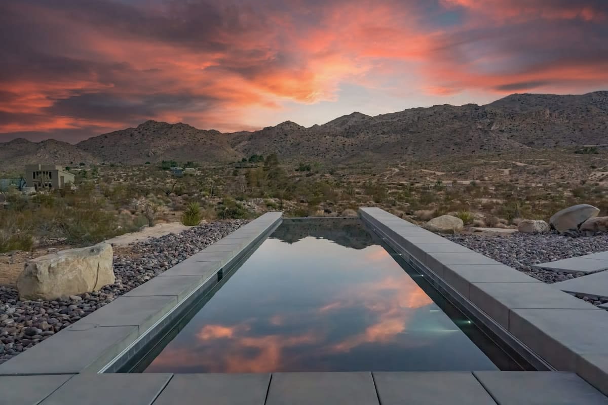
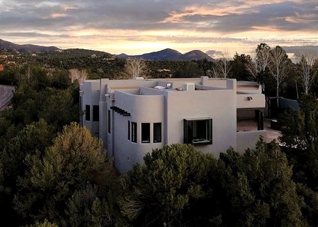
Find your base in Sedona, AZ — browse stays indexed by CielStay.
Search stays on CielStay →Frequently asked questions
What are Sedona's vortexes?
Sedona's vortexes are sites believed to emit concentrations of earth energy, centered at Bell Rock, Cathedral Rock, Airport Mesa, and Boynton Canyon. The concept originated with Page Bryant in 1980 and has become central to Sedona's wellness tourism identity. Whatever your take on the metaphysics, Bell Rock Trail and Cathedral Rock are two of Sedona's most accessible and scenic hikes, each under 4 miles roundtrip.
When is the best time to visit Sedona?
March through May and September through November offer ideal temperatures (60–80°F) and manageable crowds. Summer (June–August) is hot (95–105°F) but afternoon monsoon thunderstorms can produce dramatic red rock lighting conditions. Winter is mild (daytime 50–60°F) with occasional snow on the formations — one of Sedona's most photogenic conditions — and the lightest crowds of the year.
How far is Sedona from the Grand Canyon?
Sedona is about 120 miles from the Grand Canyon South Rim — roughly 2 hours via US-89A through Oak Creek Canyon and then AZ-64. The descent into Sedona through Oak Creek Canyon (1,200-foot switchbacks through red and white sandstone walls) is itself one of the more scenic drives in Arizona and a natural pairing with a Grand Canyon visit.
What is the best way to see Sedona's red rocks?
The Cathedral Rock Trail (1.2 miles, moderate, best at sunset), the Bell Rock Pathway (easy, full loop), and Boynton Canyon Trail (3 miles, scenic, passes the Enchantment Resort) are the highest-reward shorter hikes. For off-road access to areas not reachable on foot, Pink Jeep Tours has operated guided 4x4 excursions since 1960. The Schnebly Hill Road (unpaved) provides the broadest panoramic view of the red rock formations.
Stays near this guide
Top-rated independent stays in the region, ranked by CielStay authenticity score.


Try a search
Searches inspired by this guide — describe the vibe you want.
More guides


Nearby landmarks & attractions
Key destinations and attractions in the Sedona, AZ area.
Sedona ↗ Maps
Red rock country at its most dramatic — Cathedral Rock, Bell Rock, and the Chapel of the Holy Cross define the skyline.
Cathedral Rock ↗ Maps
One of the most photographed rock formations in the American West — the sunset view from Red Rock Crossing is Sedona's signature image.
Oak Creek Canyon ↗ Maps
A lush riparian canyon cutting north from Sedona — swimming holes, waterfalls, and the Slide Rock State Park.
This guide was assembled from the local knowledge of hosts with properties throughout Sedona, AZ, as indexed by CielStay. The descriptions of restaurants, trails, swimming holes, and local tips reflect what hosts share with guests in their listings — not the observations of a travel journalist or guest reviewer. Photos are sourced from host listing images and are credited to their respective listings. Information about permits and trail conditions may change; always verify with official sources before your trip.