
An Island at Its Own Pace
Sanibel is reached by a toll causeway from Fort Myers, and that three-mile bridge does real psychological work. Once you cross it, the landscape changes: no stoplights, no billboards, no high-rises. The island's building code has kept structures low for decades — nothing taller than the tree canopy. Hosts consistently describe this quality: "a world away," "laid-back," "no hustle."
The island's distinct east-west orientation along the Gulf coastline is not just scenic curiosity — it is the reason Sanibel exists as a shelling destination at all. Shells traveling north along the Gulf current are intercepted by the island's angled shore and deposited in volume. Hosts note 250 documented shell species wash up here. That number, repeated across listing copy, reflects genuine natural variety: lightning whelks, horse conchs, alphabet cones, junonia, lion's paws — the range is extraordinary by any mainland standard.
The stooping posture you see everywhere on the beach — head down, eyes scanning the sand — has a name: the Sanibel Stoop. It is not a joke. Serious shelters spend hours working the tide line.
The Beaches
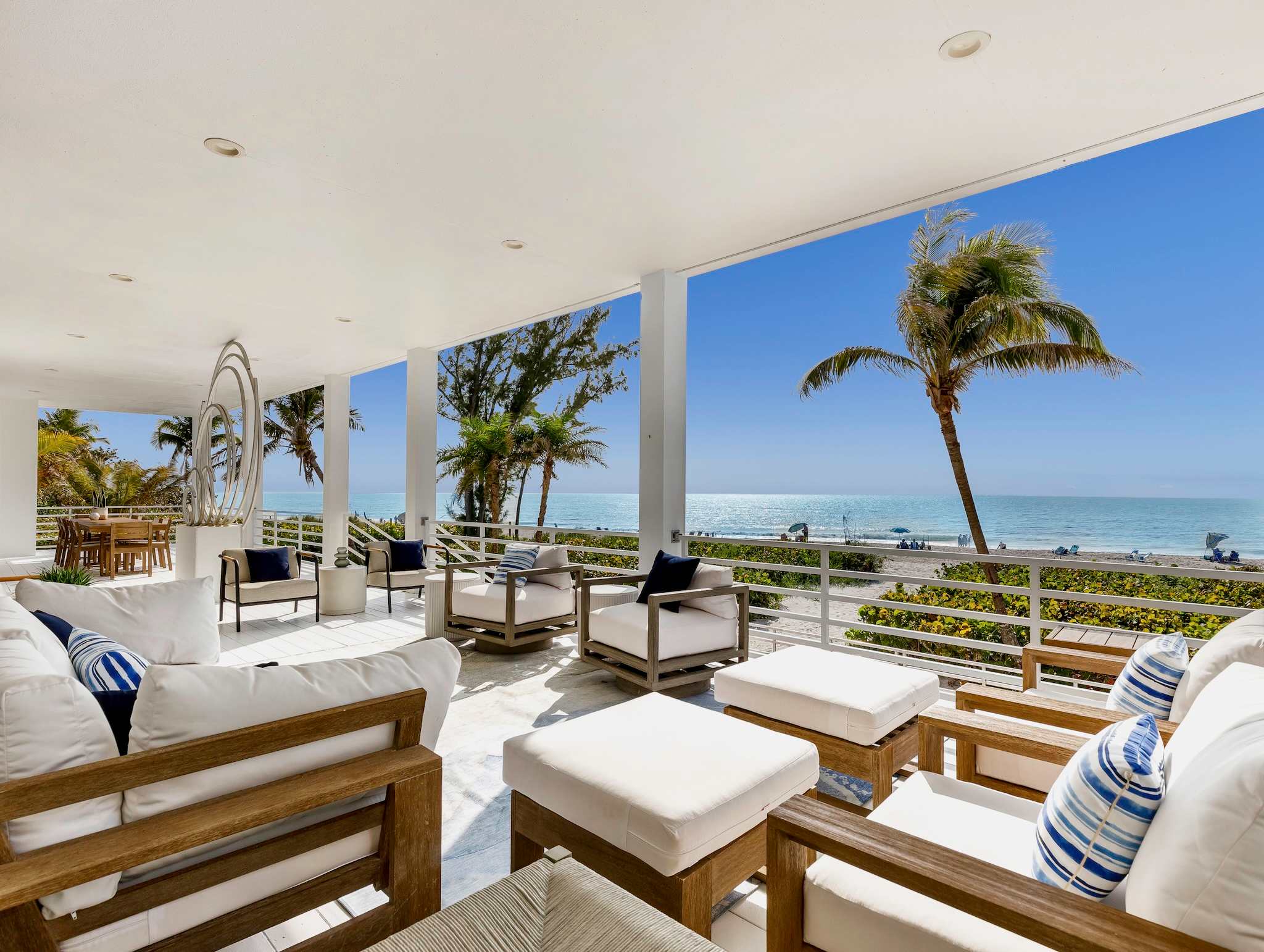
Sanibel has 15 miles of Gulf-facing beach — hosts mention this figure consistently. The character varies along the island's length.
Lighthouse Beach at the east end is the gateway — accessible quickly from the causeway, popular, with the historic Sanibel Lighthouse rising above the fishing pier. Hosts near the east end note the convenience: one listing describes its location as "less than a five-minute walk or bike ride to the beach."
Bowman's Beach at the west end, near the wildlife refuge, is the sheller's choice. Fewer people, fewer footprints, and shells that have accumulated through longer drift time. It is the most consistently recommended beach in listing copy for serious shelling.
Gulfside City Park and the mid-island beaches offer quieter access points for guests staying in the central corridor. Spanish Cay, on Middle Gulf Drive, is described in host copy as steps from the beach with "deeded beach access available" for the complex.
The beaches face west, which means evening light is excellent. Sunset is an event. Hosts describe watching dolphins, sea birds, and the light change over the Gulf — a consistent pattern across listing descriptions.
J.N. "Ding" Darling National Wildlife Refuge
The J.N. "Ding" Darling National Wildlife Refuge covers roughly a third of Sanibel Island — about 6,400 acres of mangrove estuary, tidal flats, and freshwater impoundments. It is the largest undeveloped mangrove ecosystem in the United States, and one of the most accessible wildlife habitats in the country.
The refuge is named for Jay Norwood "Ding" Darling, a Pulitzer Prize-winning political cartoonist and conservation activist who vacationed on Sanibel in the 1930s and spent the rest of his life working to protect it. He served as chief of the U.S. Biological Survey (predecessor to the U.S. Fish and Wildlife Service) and was instrumental in establishing the Federal Duck Stamp program.
The Wildlife Drive — a 4-mile one-way road through the heart of the refuge — is open to cars, bicycles, and pedestrians. The birding is exceptional: roseate spoonbills, great blue herons, snowy egrets, anhingas, and osprey are regular sightings. Alligators are frequently visible in the impoundments. Bottlenose dolphins work the tidal channels. On a winter morning, the Wildlife Drive is one of the finest wildlife experiences in Florida without any hiking required.
Kayaking and canoeing through the refuge's mangrove tunnels and back channels is a separate and more immersive experience — the canopy closes overhead in the narrower passages, and the bird life becomes intimate.
Hosts mention the refuge prominently in listing copy: multiple Sanibel listings cite the J.N. "Ding" Darling NWR as a top island attraction. Visitor center hours and Wildlife Drive schedules are posted at mysanibel.com and the refuge website.
25 Miles of Bike Paths
Sanibel has a dedicated multi-use path system that runs the length of the island — hosts consistently cite 25 miles of bike paths, and multiple listings advertise being located directly on or adjacent to the path network. This is meaningful infrastructure: you can ride from the causeway to the far end of the island without touching a road.
One listing describes its Periwinkle Way location as ideal for cruising easily "to Periwinkle shops, coffee spots, and local restaurants, or head out for a round of golf at Sanibel Island Golf Club or The Dunes." The path runs past the wildlife refuge entrance, along the beach access roads, and through the residential corridors of mid-island.
Bike rentals are available on the island; hosts note that Sanibel Captiva vacation rental teams can provide lists of local vendors offering bicycles, kayaks, and related equipment.
The combination of flat terrain, no stoplights, and dedicated paths makes Sanibel genuinely bikeable for families and casual riders — not just athletic cyclists.
Island Character and Community Scale
Sanibel has a permanent population of around 6,000 people and has maintained that scale intentionally. The community incorporated as a city in 1974 specifically to prevent large-scale development — the low-rise, low-density character of the island is a deliberate policy outcome, not an accident of geography.
Periwinkle Way is the main commercial corridor: a two-lane road lined with independent shops, galleries, and restaurants. The Bailey-Matthews National Shell Museum — the only museum in the United States dedicated entirely to mollusks and shells — is on Sanibel-Captiva Road and draws serious natural history interest.
The CROW (Clinic for the Rehabilitation of Wildlife) is a teaching hospital for injured wild animals with a visitor education center. Both institutions appear in host listing copy as top island attractions, and both reflect the conservation ethic that has shaped the island's identity since incorporation.
Sanibel vs. Captiva
Sanibel and Captiva are connected by a bridge at Blind Pass and are frequently paired in travel coverage, but they have genuinely different characters.
Sanibel is larger (12 miles long), has more infrastructure, more accommodations, the wildlife refuge, the bike path network, the shell museum, and most of the island's services. It functions as a real small town with a grocery store, hardware store, and year-round residential community.
Captiva is smaller (4.5 miles long), has roughly 400 permanent residents, no grocery store on the island, and one road that ends at the northern tip. It is more remote, more expensive, and quieter — the character of a destination at the end of things. The captiva-florida guide covers Captiva in detail.
For most families and first-time visitors to this part of Florida, Sanibel is the natural base: more options, easier logistics, better beach access infrastructure, and the full bike path network. Captiva rewards guests who want to go further and stay quieter.
Staying on Sanibel
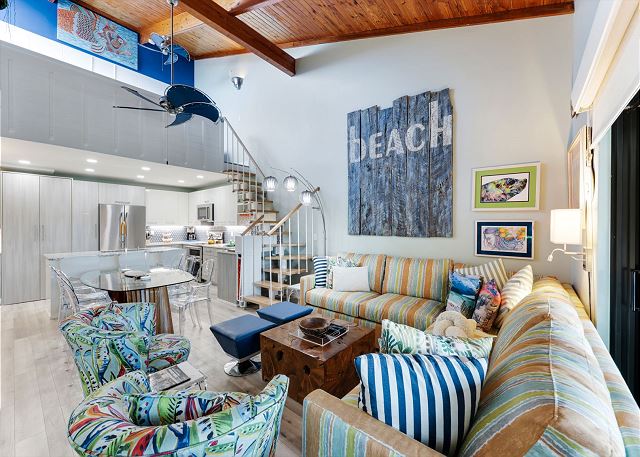
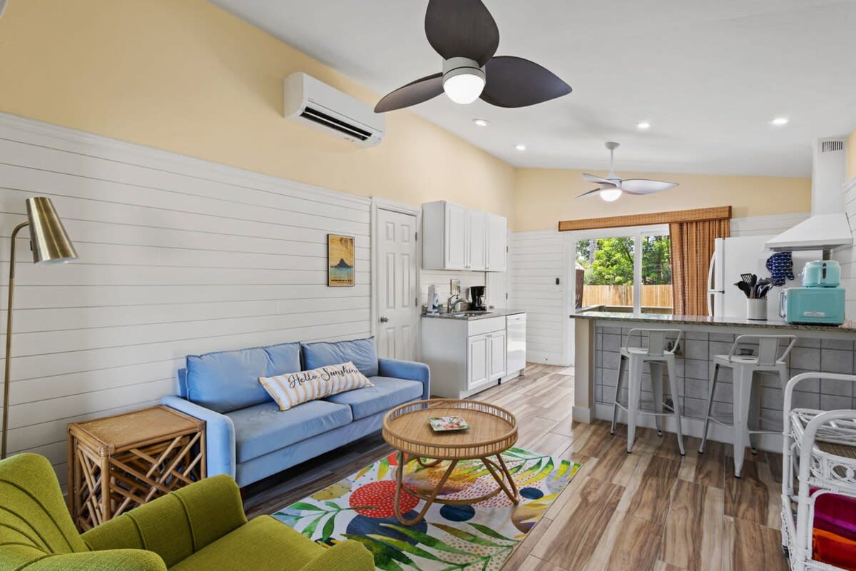
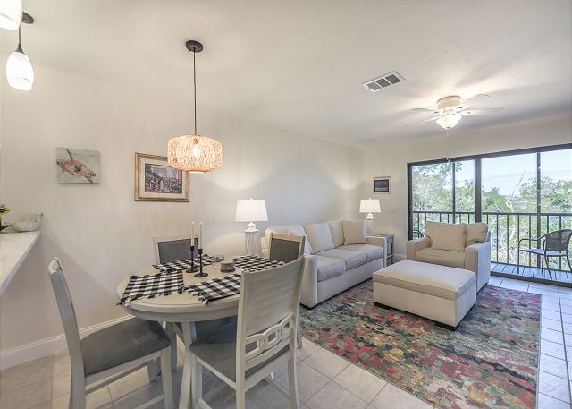
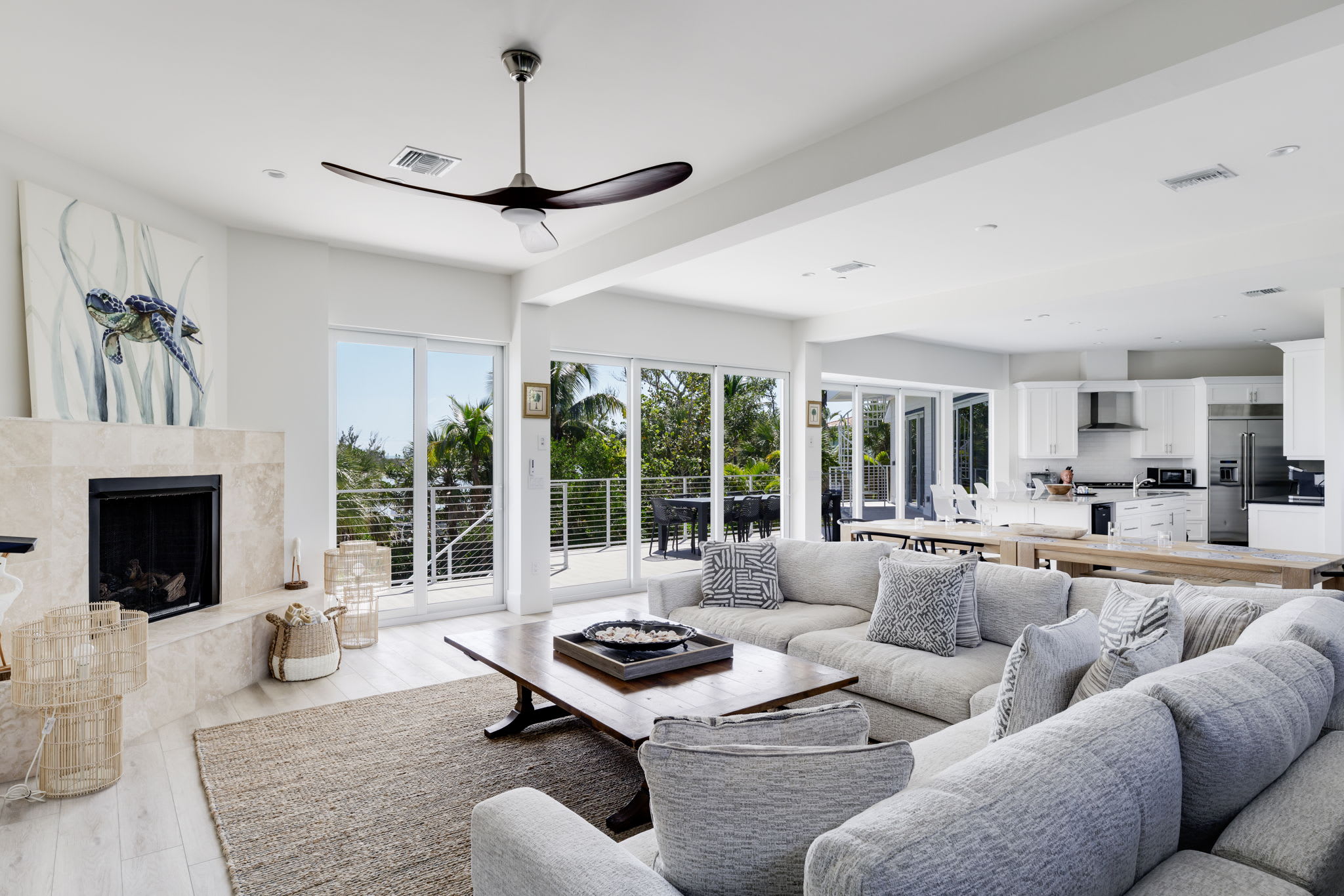
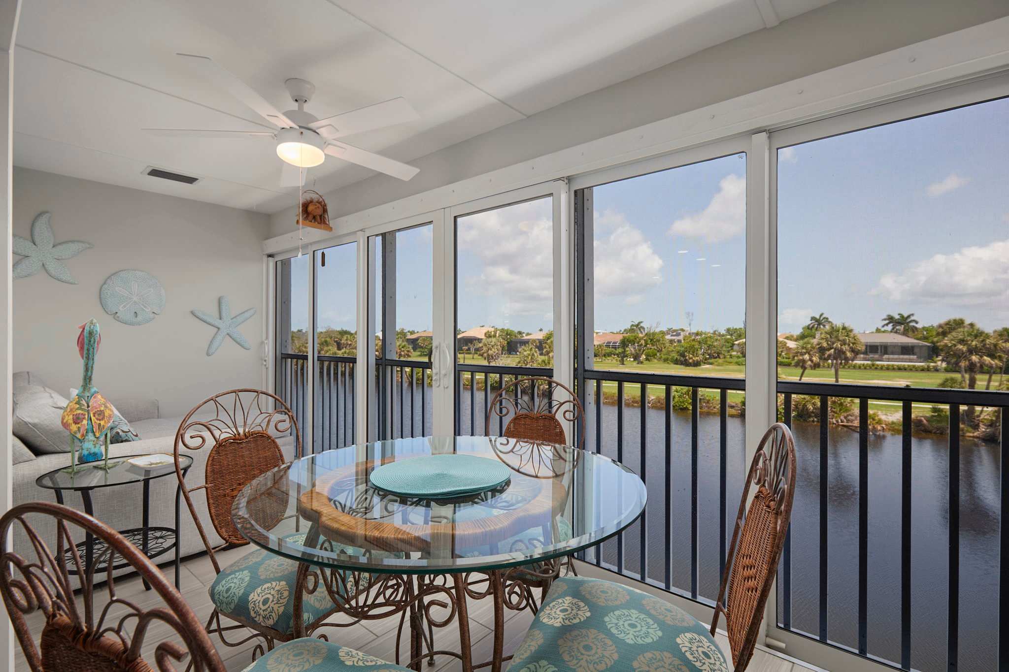
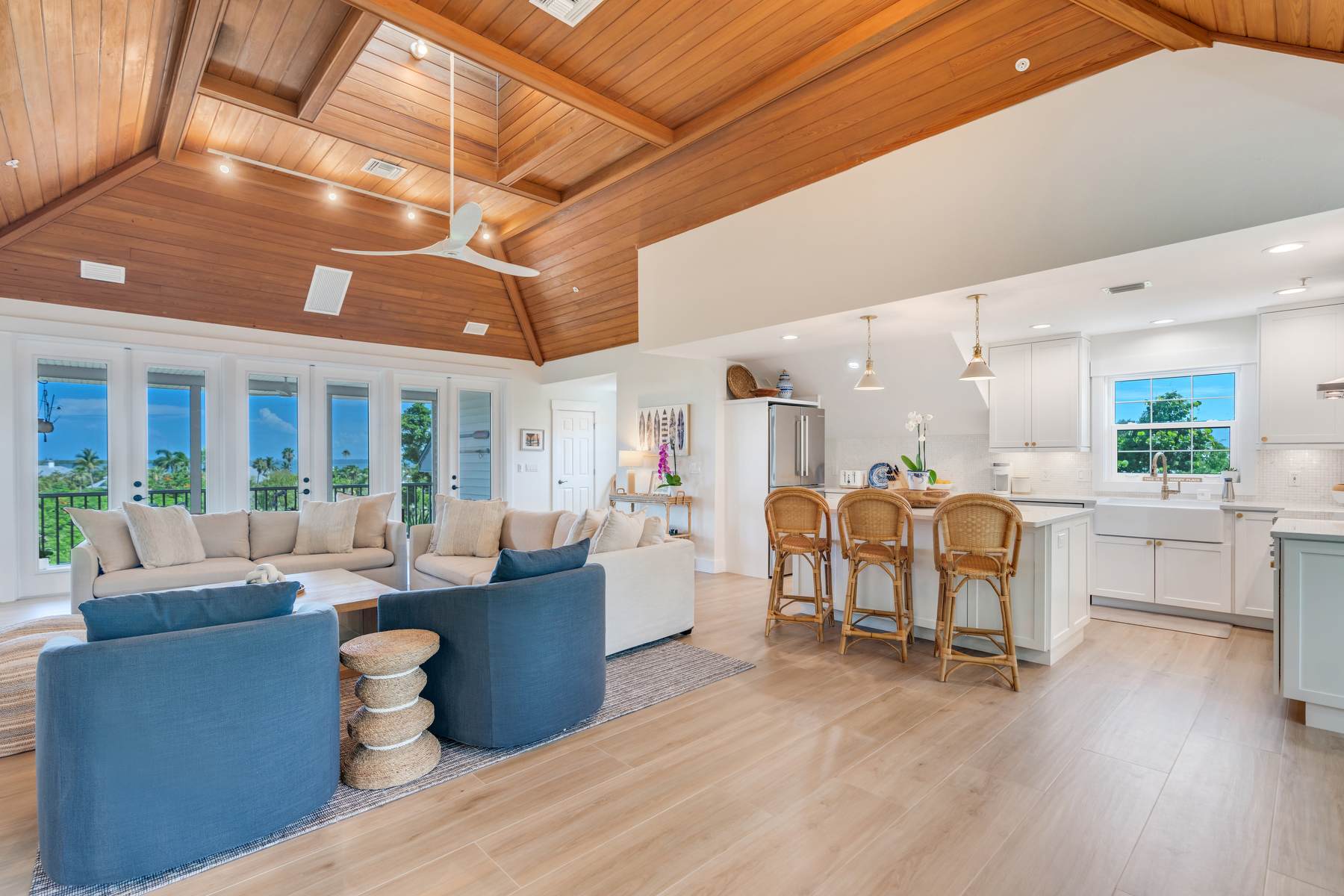
The vacation rental inventory on Sanibel ranges from Gulf-front condos with community pools to cottages in the island interior and larger homes near the beach access roads.
The Coquina Beach community — a 40-unit complex near the Gulf — is an example of the mid-island condo stock. Hosts describe it as a smaller, quieter alternative to the larger resort complexes, with tennis courts, a heated pool, and community grills. One host notes the condo is "150 steps from the Gulf" and positioned "right off Sanibel's beloved bike paths" for easy access to Periwinkle shops and restaurants.
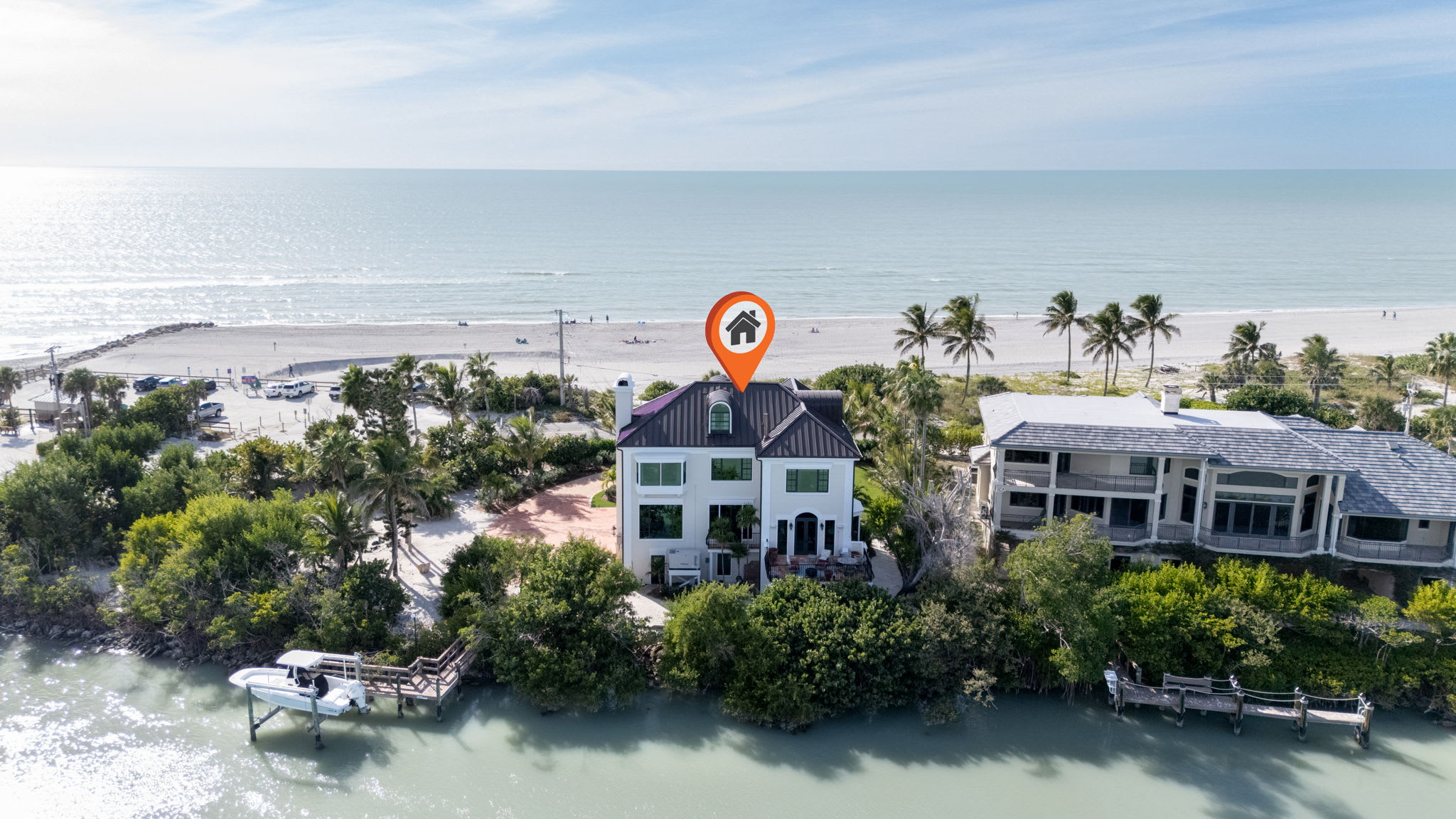
The Palms, on the east end of Sanibel, is a cottage complex built in 1958 and renovated in 2023. Four cottages on 1.5 acres of tropical landscaping with a private pool. Hosts describe it as located "on what is arguably the most attractive intersection on all of Sanibel Island — East Gulf and Periwinkle Way." The east end gives quick on- and off-island access, and the beach is "less than a five-minute walk or bike ride" from the property.
The Sanibel-Captiva tourism site maintains current information on island activities, events, and access conditions.
Find your base in Sanibel Island, FL — browse stays indexed by CielStay.
Search stays on CielStay →Frequently asked questions
What is Sanibel Island known for?
Sanibel is known as the shelling capital of North America. The island's east-west orientation along the Gulf acts as a natural shell trap, collecting shells that travel north along the Gulf current. Hosts document 250 shell species washing up on its beaches. The island is also known for the J.N. Ding Darling National Wildlife Refuge — one of the most accessible birding destinations in the US — and for its 25 miles of dedicated bike paths and complete absence of stoplights.
What are the best beaches for shelling on Sanibel?
Bowman's Beach at the west end of Sanibel, near the wildlife refuge, is consistently regarded as the best shelling beach — fewer people and more accumulated shells from longer drift time. Lighthouse Beach at the east end is more accessible and popular. Low tide after a northeast wind storm produces the best conditions across all Sanibel beaches. The characteristic forward lean of shell hunters has been called the Sanibel Stoop.
What is J.N. Ding Darling National Wildlife Refuge and how do I visit?
The J.N. Ding Darling NWR is a 6,400-acre mangrove estuary on Sanibel Island — the largest undeveloped mangrove ecosystem in the United States. The 4-mile Wildlife Drive through the refuge is open to cars, bicycles, and pedestrians, and passes roseate spoonbill rookeries, alligator impoundments, and tidal channels with bottlenose dolphins. Kayaking the mangrove tunnels is a separate option. Visit fws.gov/refuge/jn-ding-darling for current hours and entry fees.
What is the difference between Sanibel and Captiva?
Sanibel is larger (12 miles long), has more amenities, the wildlife refuge, the shell museum, grocery stores, and the full 25-mile bike path network — it functions as a real small town and is the natural base for most visitors. Captiva is smaller and more remote, with roughly 400 permanent residents, one road that ends at a dead end, and no chain stores — a quieter, more escape-minded destination. The two islands are connected by a bridge at Blind Pass.
Stays near this guide
Top-rated independent stays in the region, ranked by CielStay authenticity score.
Try a search
Searches inspired by this guide — describe the vibe you want.
More guides

Nearby landmarks & attractions
Key destinations and attractions in the Sanibel Island, FL area.
Sanibel Island ↗ Maps
The world capital of shelling — the island's east-west orientation and shallow Gulf waters deposit an unmatched variety of shells on its beaches.
J.N. Ding Darling National Wildlife Refuge ↗ Maps
One of the largest undeveloped mangrove ecosystems in the US — roseate spoonbills, alligators, and shorebirds year-round.
Bowman's Beach ↗ Maps
The best shelling beach on Sanibel — a short walk from the parking lot to a wide, often uncrowded stretch of shell-covered sand.
This guide was assembled from the local knowledge of hosts with properties throughout Sanibel Island, FL, as indexed by CielStay. The descriptions of restaurants, trails, swimming holes, and local tips reflect what hosts share with guests in their listings — not the observations of a travel journalist or guest reviewer. Photos are sourced from host listing images and are credited to their respective listings. Information about permits and trail conditions may change; always verify with official sources before your trip.